
Parks, Trails & Beaches in Ventura County
From the Rincon coast and Channel Islands to Ojai's oaks and Point Mugu's ridgelines — the definitive field guide to outdoor life in the 805.
Parks, Beaches & Trails in Ventura County
Looking for the best parks and outdoor spaces in Ventura County? Everything VC maps every verified park, beach, garden, and trail across Ventura, Oxnard, Ojai, Thousand Oaks, Simi Valley, Camarillo, and the Heritage Valley — from major destinations to neighborhood greenspaces locals actually use.
Filter by activity (hiking, biking, dog-friendly, swimming), area, or park type to plan a quick outing, a family afternoon, or a longer adventure in California's coastal county. Each listing includes amenities, parking info, accessibility notes, and what to expect.
Every park is sourced from official city, county, and state parks data — and verified by our local team. No fake listings, no scraped aggregator dumps.
Frequently asked questions
What are the best parks and outdoor spaces in Ventura County?
Ventura County's best parks range from large regional preserves and beaches to neighborhood greenspaces, dog parks, and trail systems. Our guide breaks them down by area, activity, and amenities so you can find the right fit for a quick walk, a family outing, or a longer hike.
Are these Ventura County parks verified?
Yes. Every park, beach, and trail in our Ventura County guide is sourced from official city, county, or state parks data and verified by our local team. We don't publish unverified or AI-generated listings.
Can I filter by dog-friendly, hiking, or family-friendly parks?
Yes — use the filters at the top of the page to narrow Ventura County parks by activity (hiking, biking, swimming, dog-friendly), area, or park type (regional park, beach, trail, neighborhood park).
Which Ventura County parks are free to visit?
Most Ventura County city and neighborhood parks are free. Some state parks, beaches, and regional preserves charge parking or day-use fees — each listing notes fees and parking info when applicable.
Showing 143 of 143 places
⭐ Featured Outdoor Spots
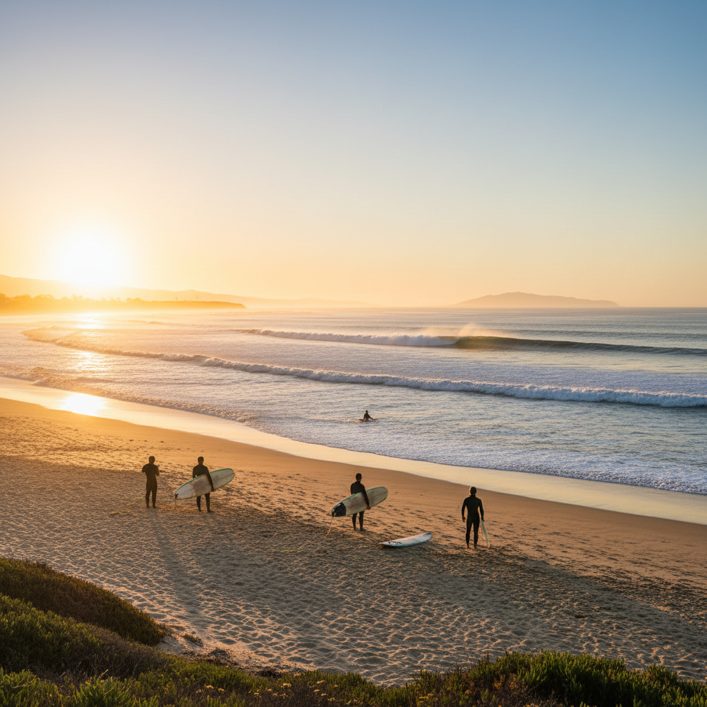
Surfers' Knoll
The sand dune park at the south jetty of Ventura Harbor — panoramic views from McGrath to Pierpont and one of Ventura's best surf spots.
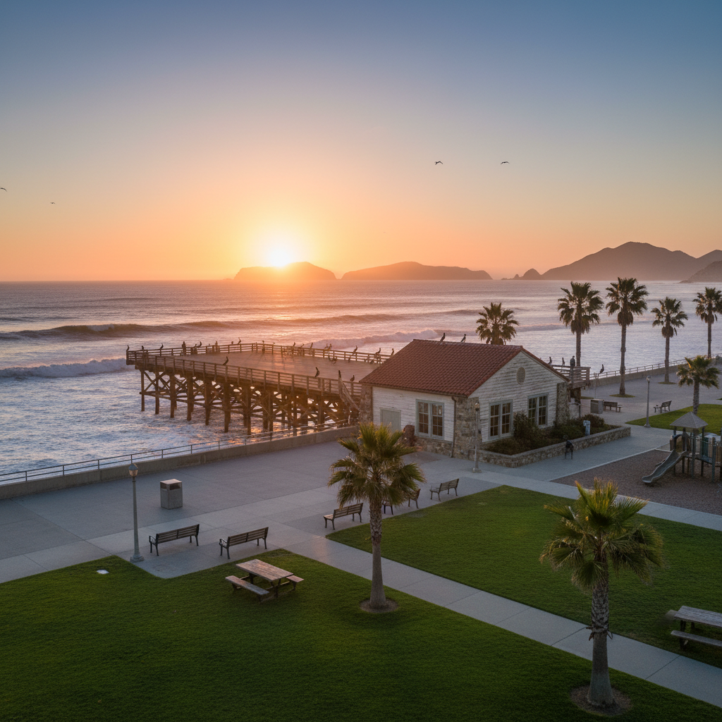
Channel Islands National Park Visitor Center
Free interpretive center and waterfront walkway with rooftop pier observation deck.
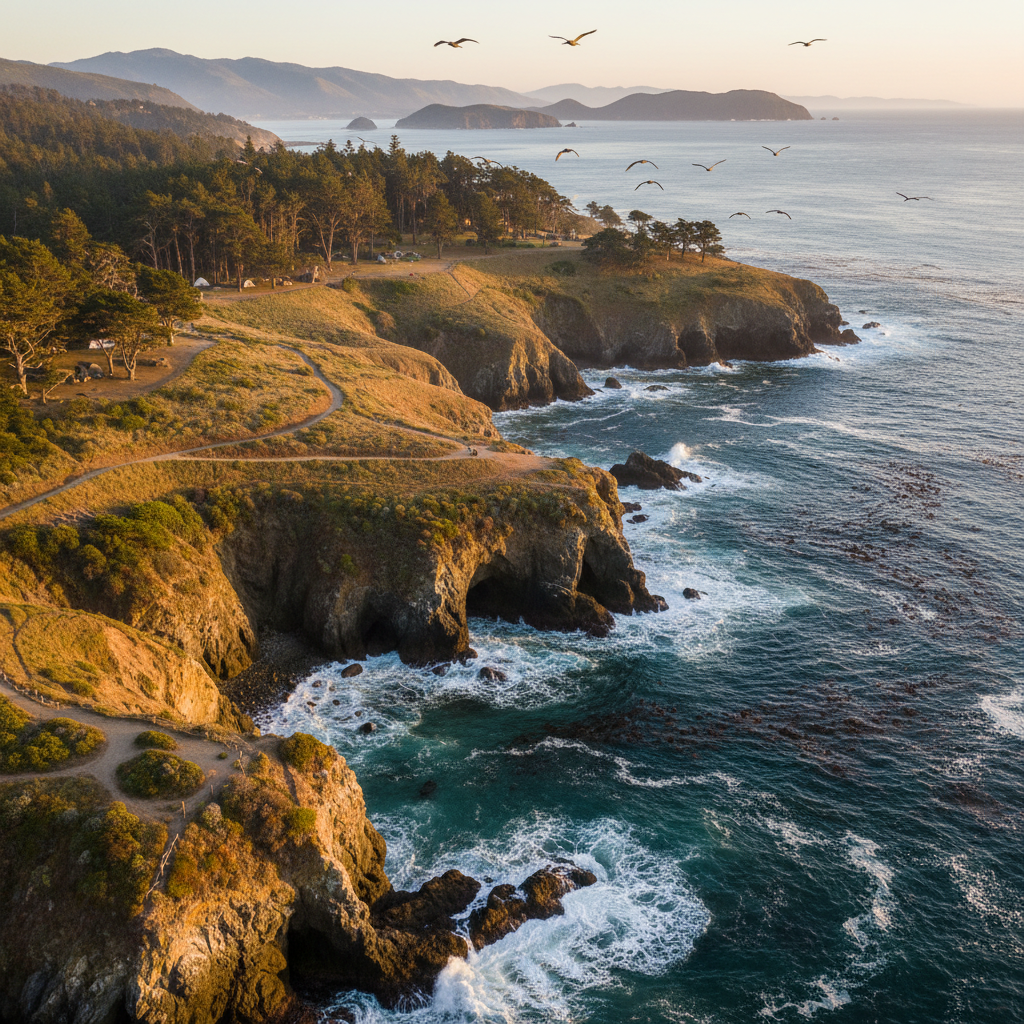
Santa Rosa Island
The second-largest Channel Island — rolling grasslands, Torrey pines, white-sand beaches, and a wild backpacking destination.
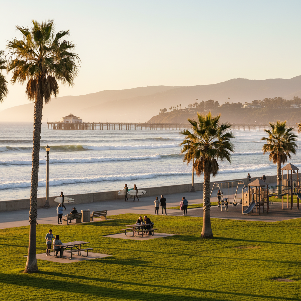
Ventura Pier and Promenade Beach Access
The beachfront park beside Ventura County Fairgrounds with paved promenade and Pierpont-side surf access.
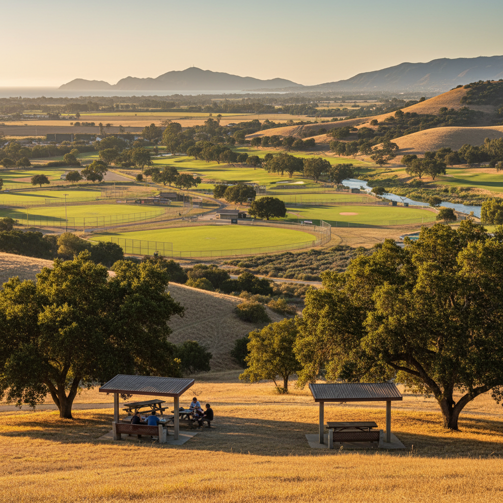
Saticoy Regional Park
A 110-acre regional sports park along the Santa Clara River with extensive ballfields and the Saticoy Country Club adjacent.
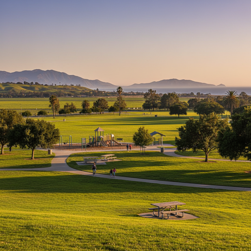
Freedom Park & Camarillo Premium Walking Loop
A 50-acre community park near Camarillo Airport with sports complexes, dog park, and the city's biggest walking loop.
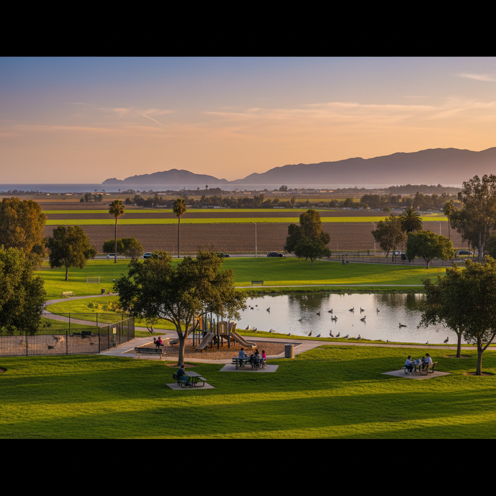
Constitution Park
Camarillo's central community park with sports fields, a lake, walking paths, and a popular dog park.
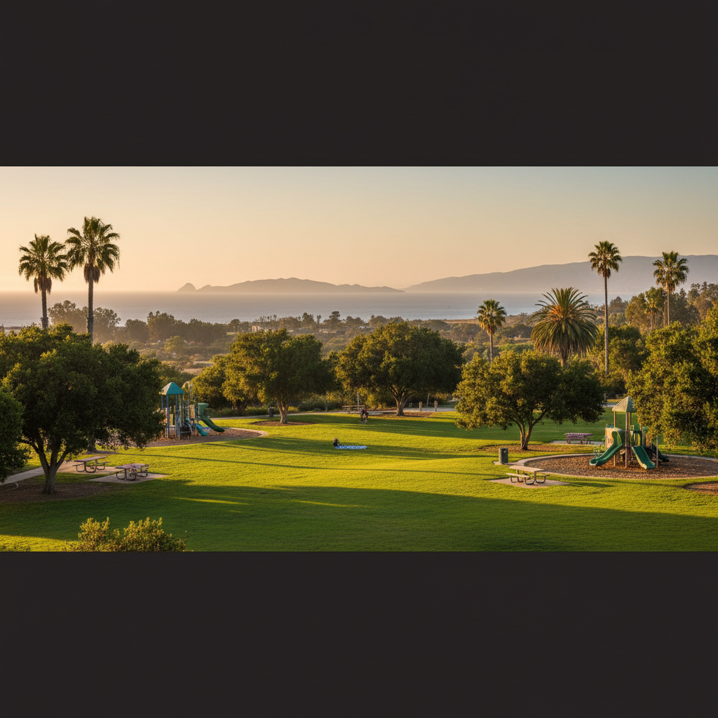
Aggen Park
A leafy Old Town Camarillo neighborhood park with a quiet picnic lawn and playground.
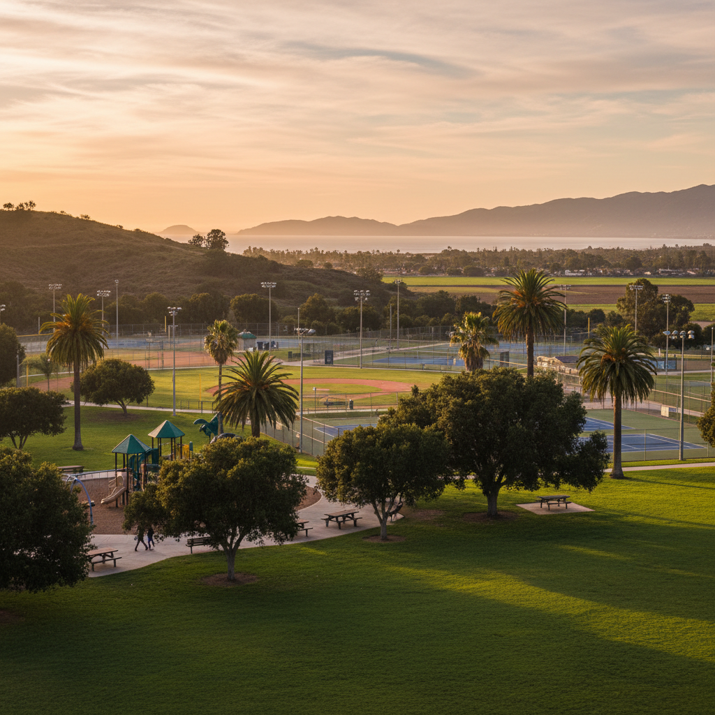
Camrosa Park
A modern community park anchoring the western edge of Camarillo with lighted softball and tennis.
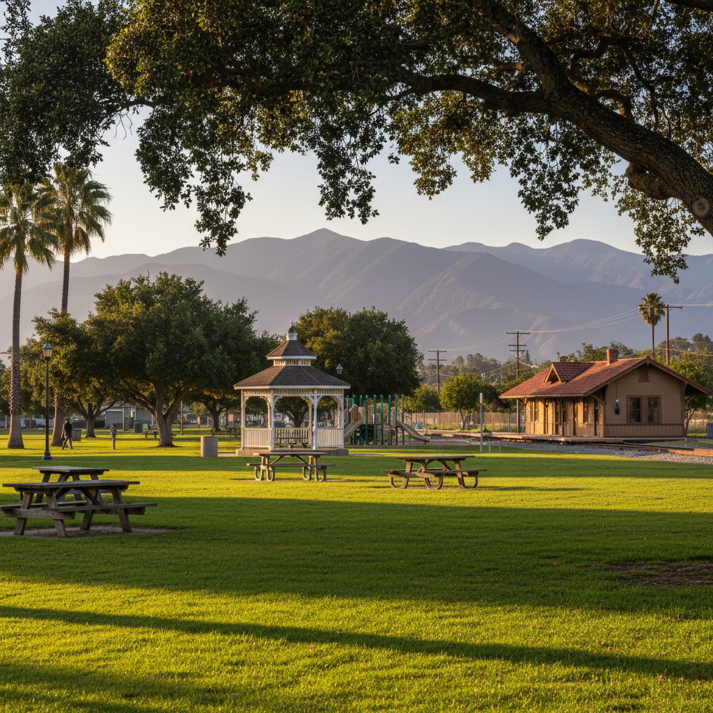
Memorial Park (Fillmore)
The historic small-town park anchoring downtown Fillmore — lawn, gazebo, and the Fillmore & Western Railway depot adjacent.
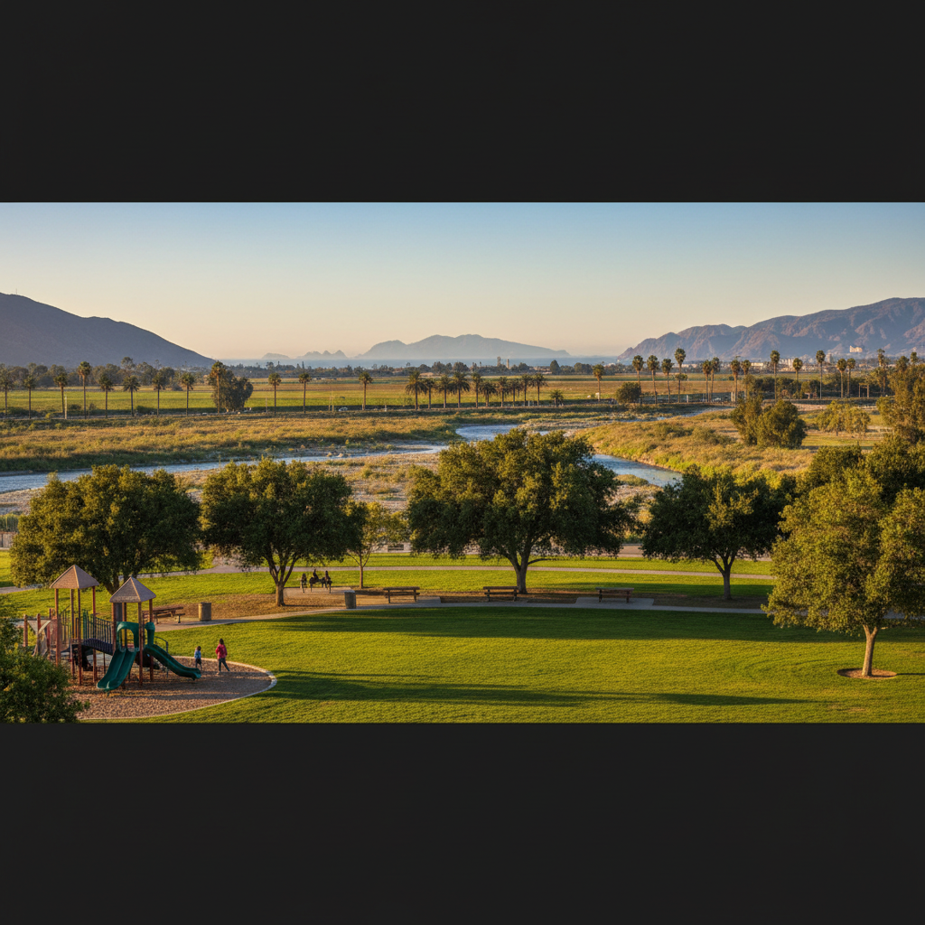
Two Rivers Park (Fillmore)
Fillmore's largest sports park along the Sespe and Santa Clara River confluence.
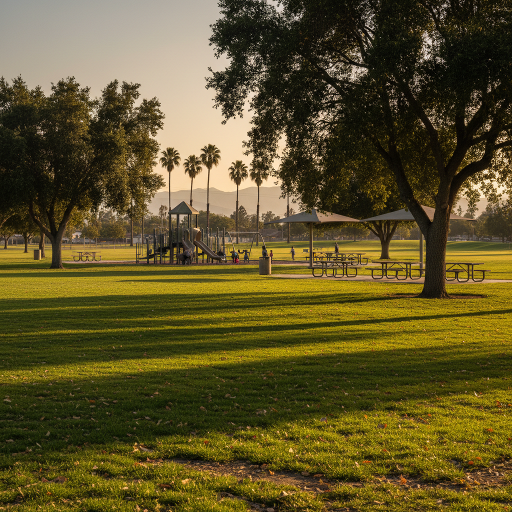
Shiells Park (Fillmore)
A leafy neighborhood park anchoring Fillmore's residential core with a popular playground.
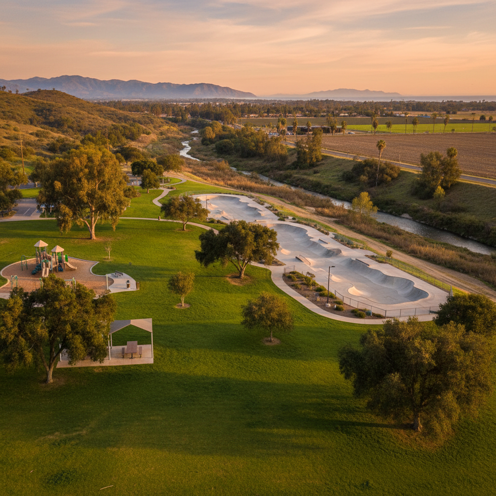
Las Posas Park (Santa Paula)
A long neighborhood park along the Santa Paula creek with sports fields and a popular skate park.
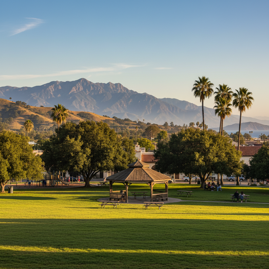
Veterans Memorial Park (Santa Paula)
A downtown Santa Paula veterans memorial park with shaded lawns and a community gazebo.
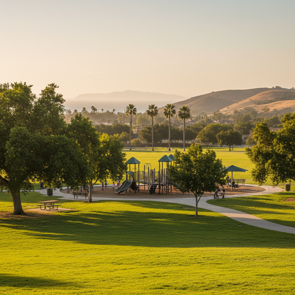
Sycamore Drive Park (Simi Valley)
A south Simi neighborhood park with sports fields, a popular playground, and the start of the Sycamore Drive walking loop.
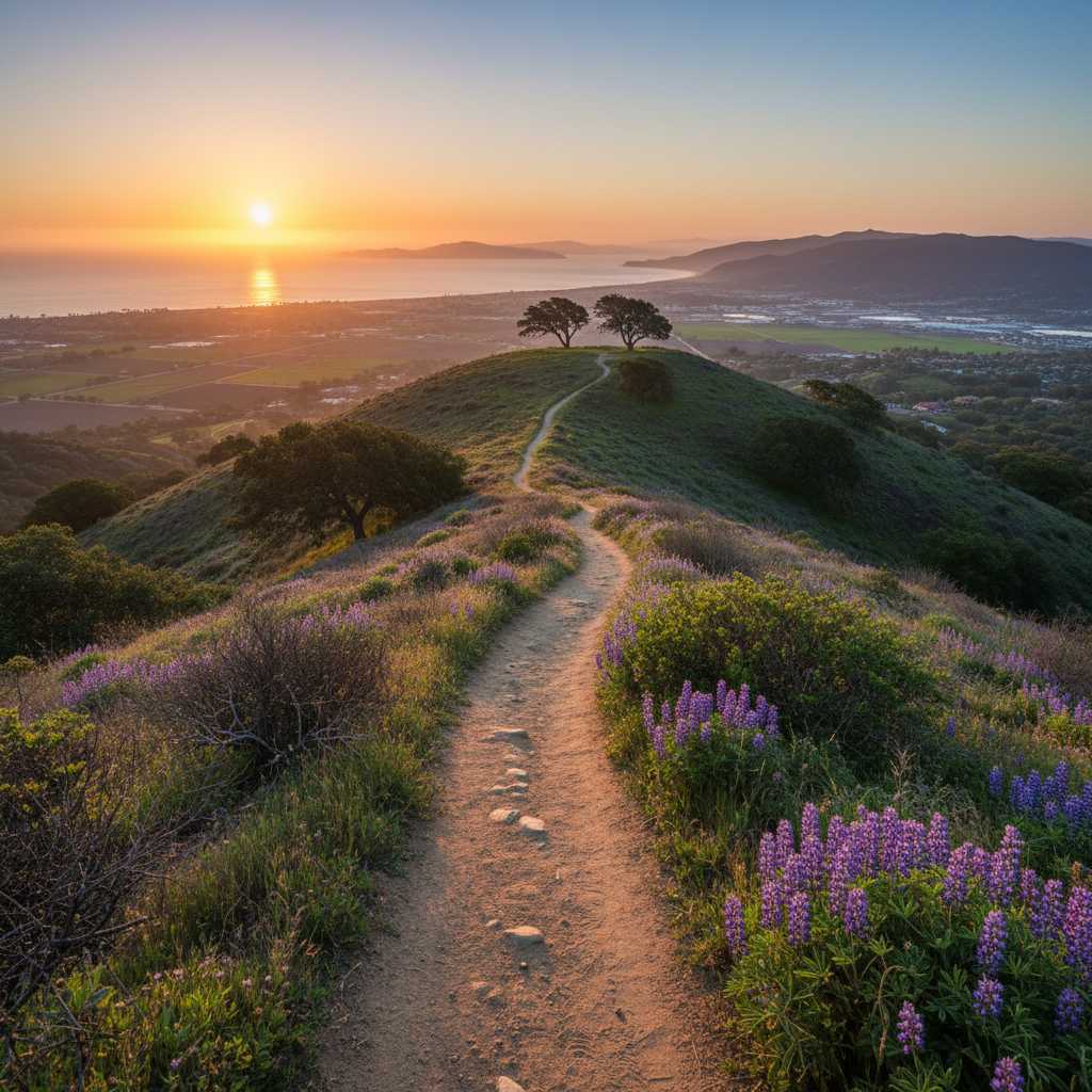
Two Trees Ridge (Hillside Open Space)
The full hillside open-space network behind Ventura — hundreds of acres above town accessed from Arroyo Verde and Grant Park.
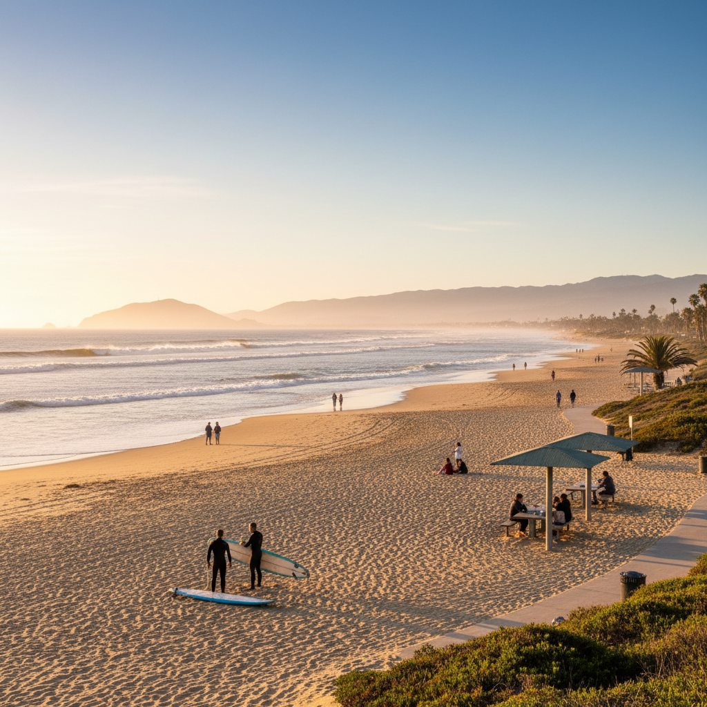
Marina Park West Beach
The wide residential surf beach south of the pier — Ventura's daily-walk beach.
Surfers' Knoll
The sand dune park at the south jetty of Ventura Harbor — panoramic views from McGrath to Pierpont and one of Ventura's best surf spots.
Channel Islands National Park Visitor Center
Free interpretive center and waterfront walkway with rooftop pier observation deck.
Santa Rosa Island
The second-largest Channel Island — rolling grasslands, Torrey pines, white-sand beaches, and a wild backpacking destination.
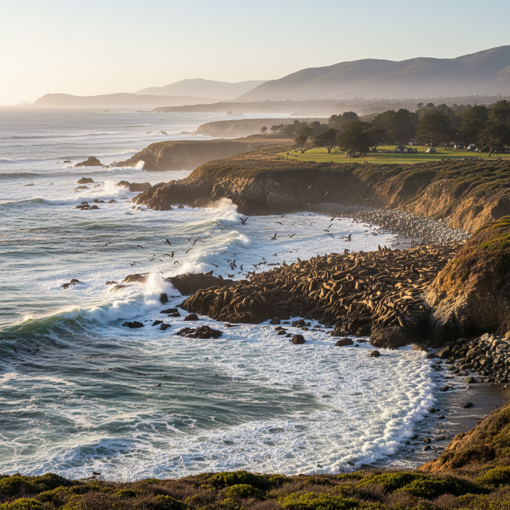
San Miguel Island
The windswept, westernmost Channel Island — Point Bennett's massive seal and sea lion colony is one of the great wildlife spectacles in North America.
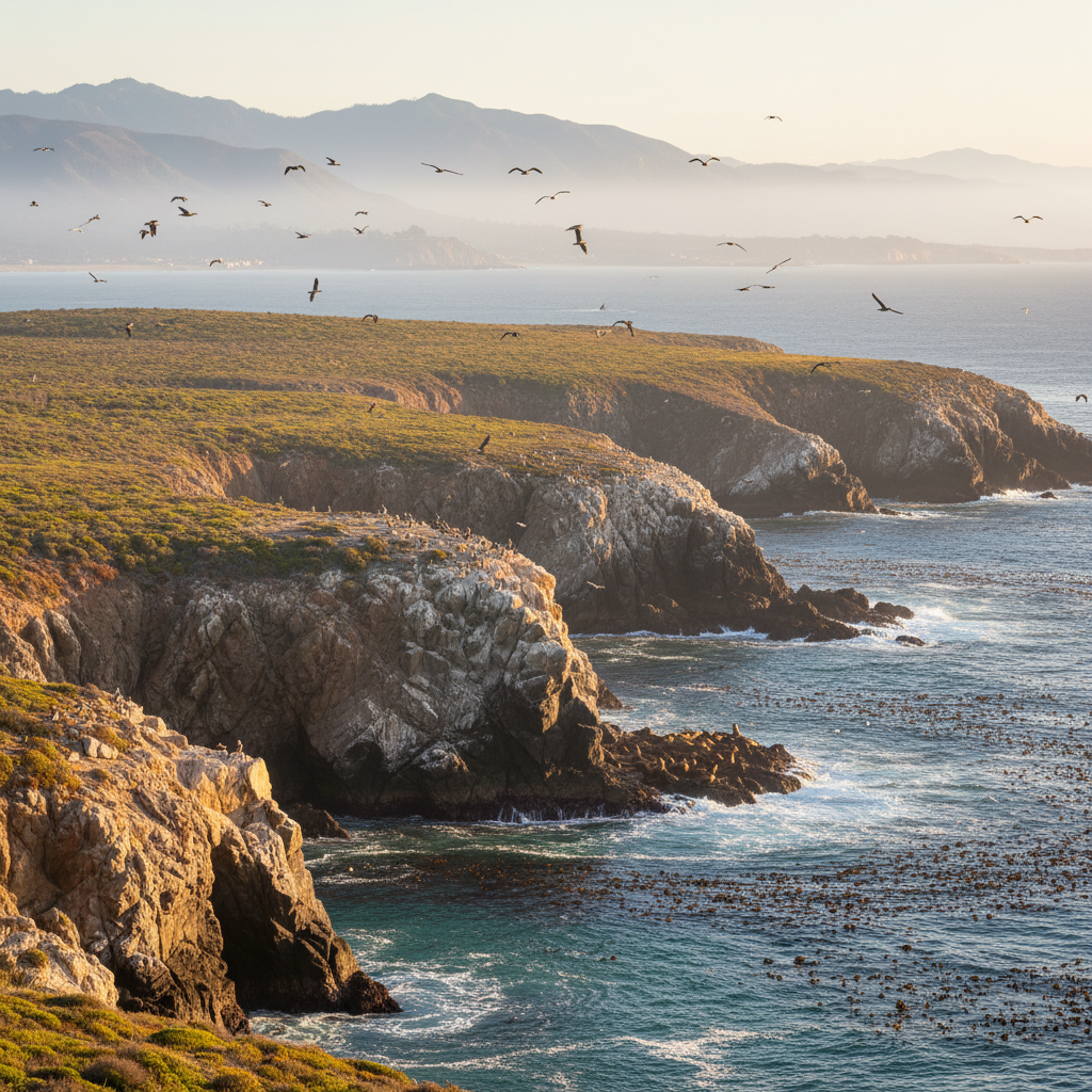
Santa Barbara Island
The smallest Channel Island — a 1-square-mile rocky outcrop with sea cliffs, sea lions, and seabird colonies.
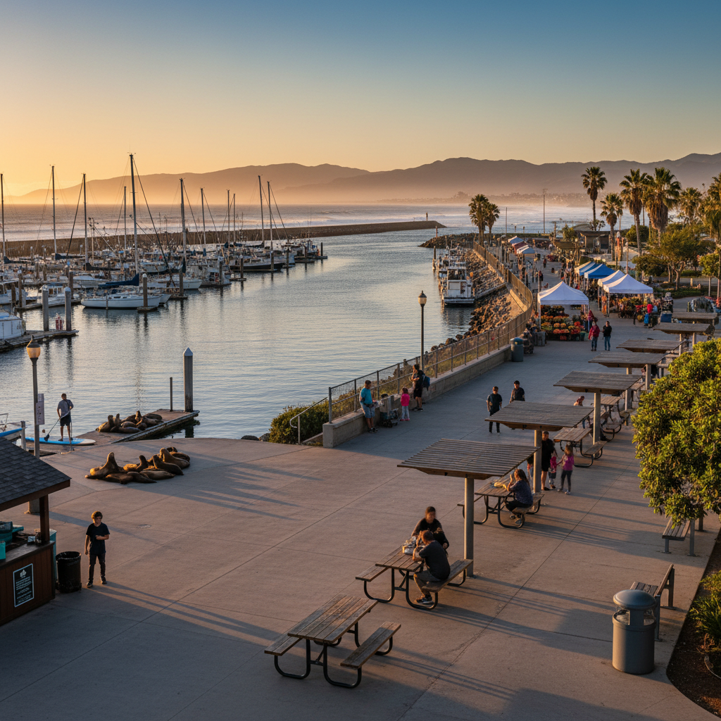
Channel Islands Boat Launch Promenade
The walkable inner harbor at Channel Islands Harbor — dining, paddle rentals, sea lions, and the Sunday farmers market.
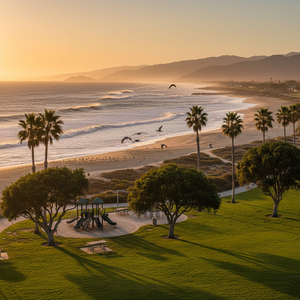
Mandalay County Park
A coastal-dune county park with beach access, walking paths, and views of the Oxnard plain coast.
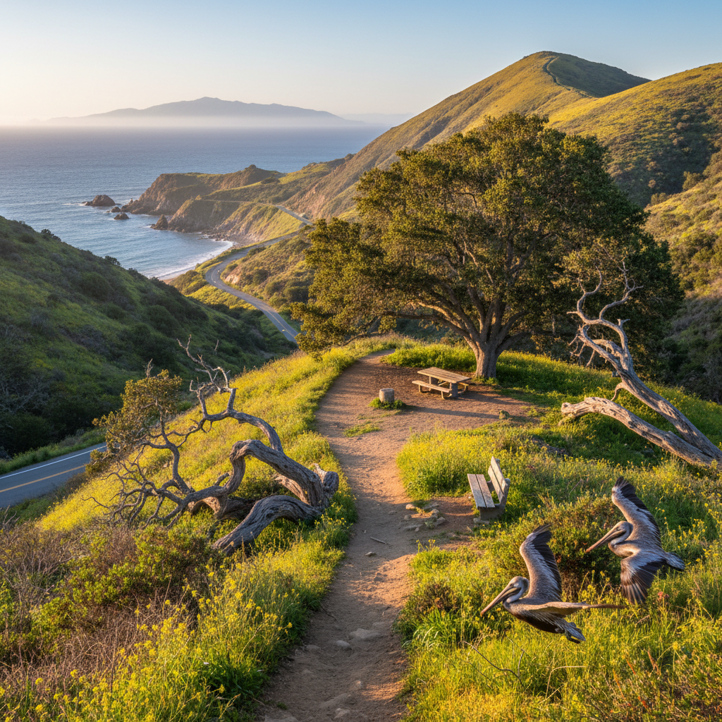
Rancho Guadalasca / Big Sycamore Canyon
The popular Big Sycamore Canyon ride through Point Mugu State Park — 16-mile out-and-back through old-growth sycamores.
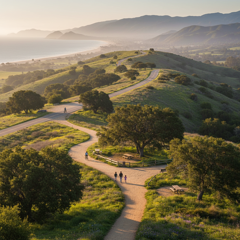
Wood Ranch Open Space / Long Canyon
A rolling open-space network behind the Reagan Library in Simi Valley — wide trails and oak-shaded canyons.
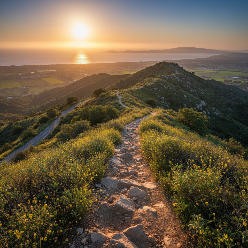
Hummingbird Trail (Rocky Peak Connector)
Rock-strewn singletrack climbing into Rocky Peak Park from the Kuehner Drive trailhead.
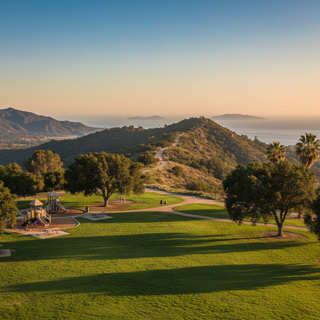
Chumash Park (Simi Valley)
A neighborhood park anchoring north Simi — fields, playground, and the popular Chumash Trail access.
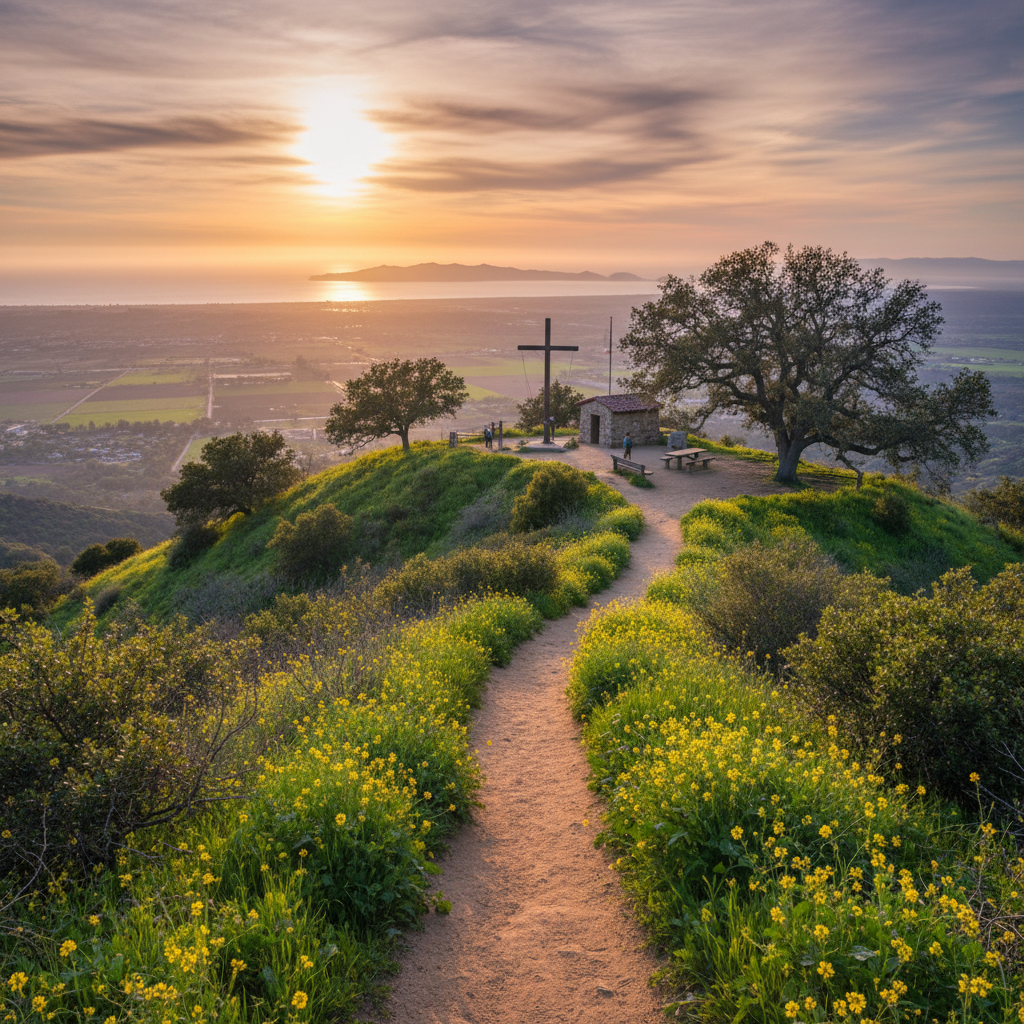
Mount McCoy Cross Trail
A 2-mile out-and-back to a historic hilltop cross with sweeping Simi Valley views.
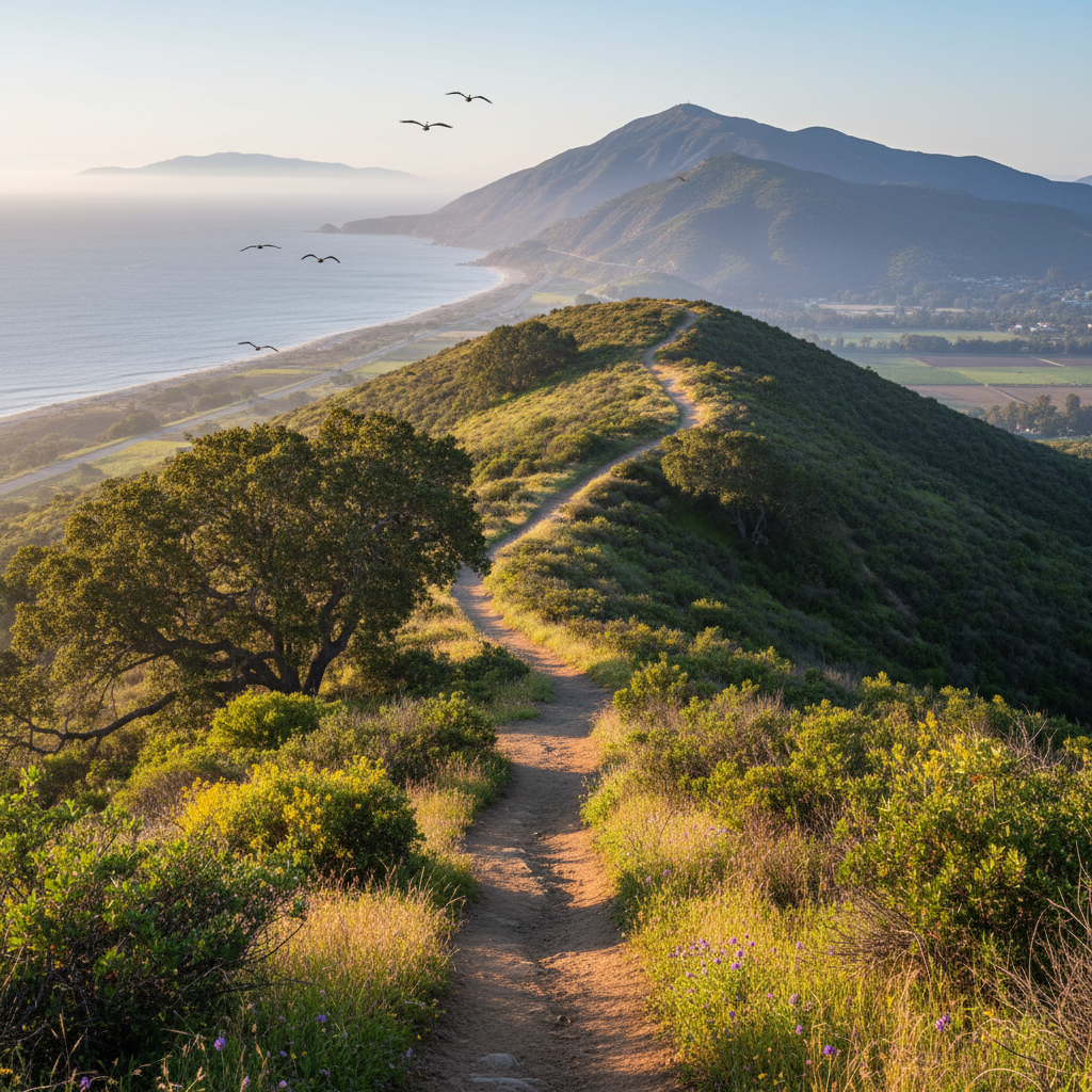
Tapo Canyon Open Space
A long canyon trail system climbing into the Santa Susana Mountains north of Simi Valley.
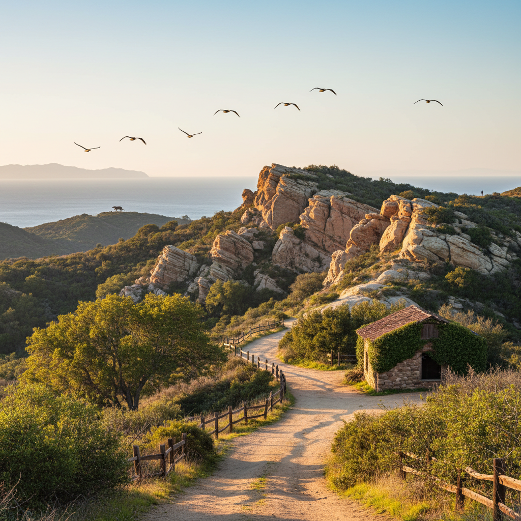
Santa Susana Pass State Historic Park
Rugged sandstone-and-chaparral state park preserving the historic Old Santa Susana Stage Road.
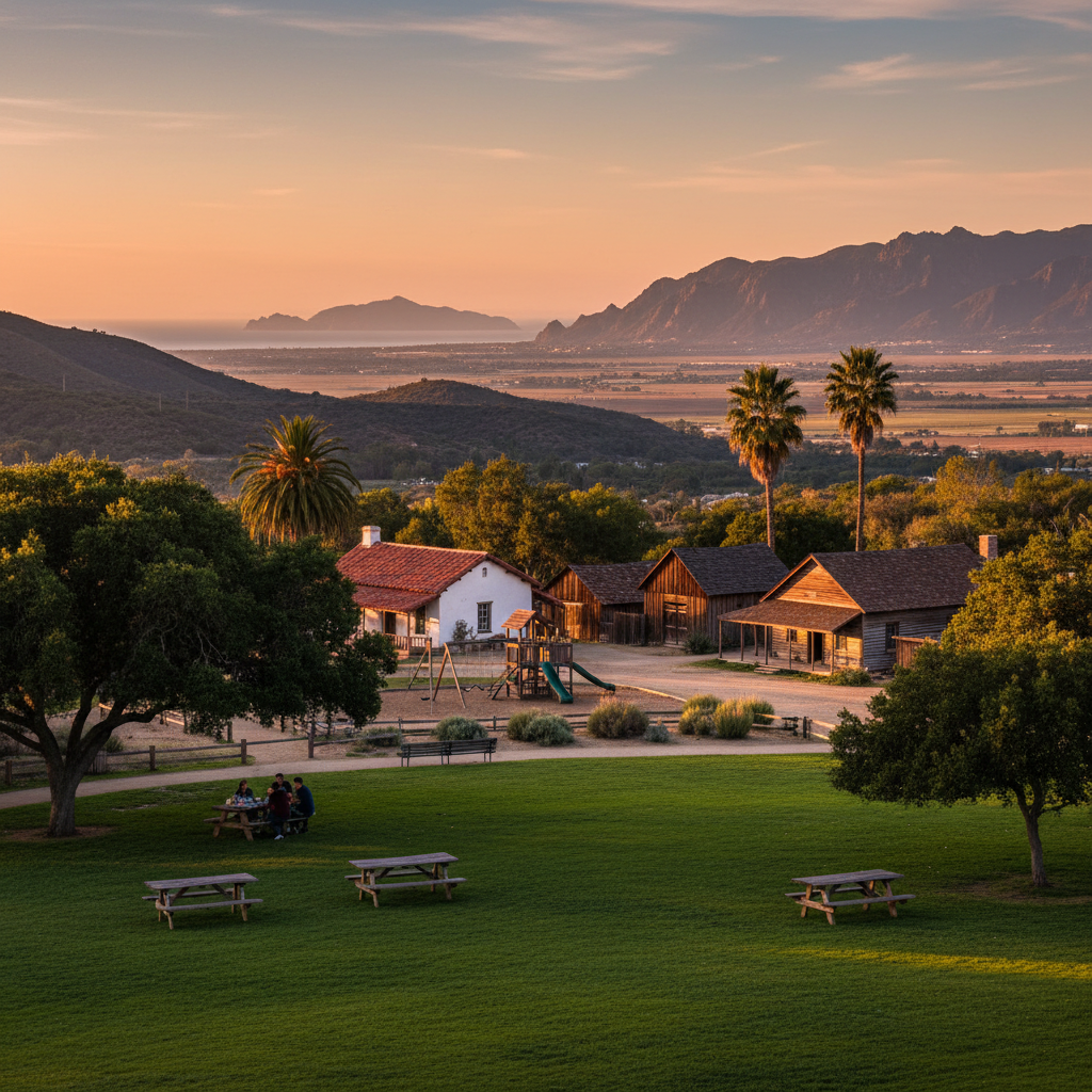
Strathearn Historical Park
A 6-acre historical park preserving the 19th-century Strathearn ranch and adobe.
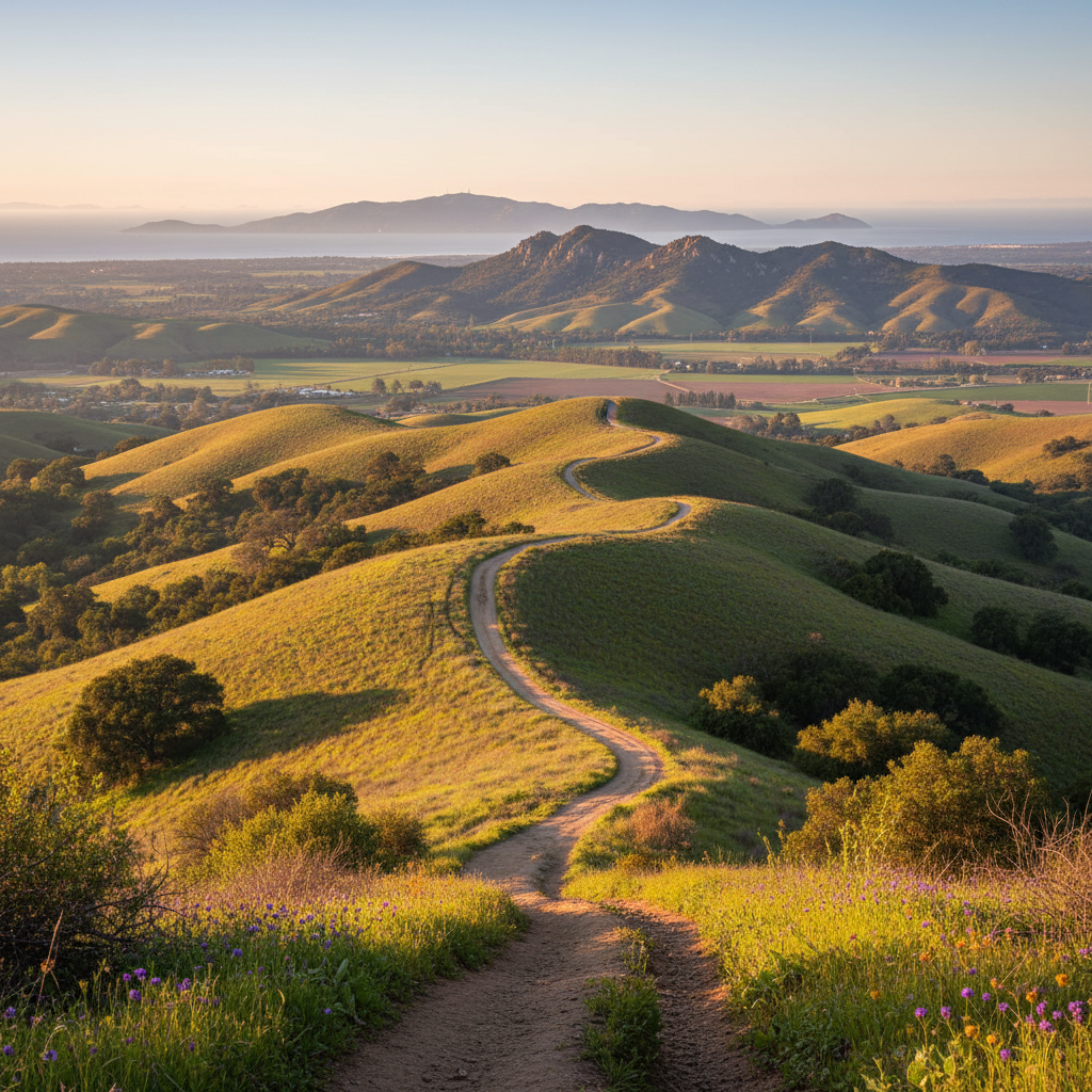
Tierra Rejada Open Space
Rolling open-space ridges between Moorpark and Thousand Oaks with sweeping farm and ranch views.
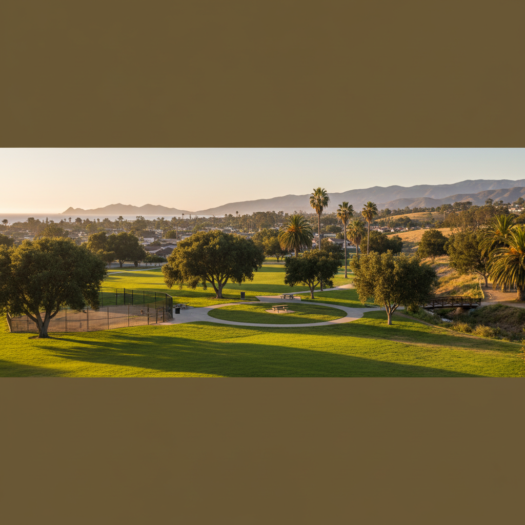
Camino Real Park West Loop
Quiet midtown loop with mature trees, a fenced dog area, and an arroyo creek crossing.
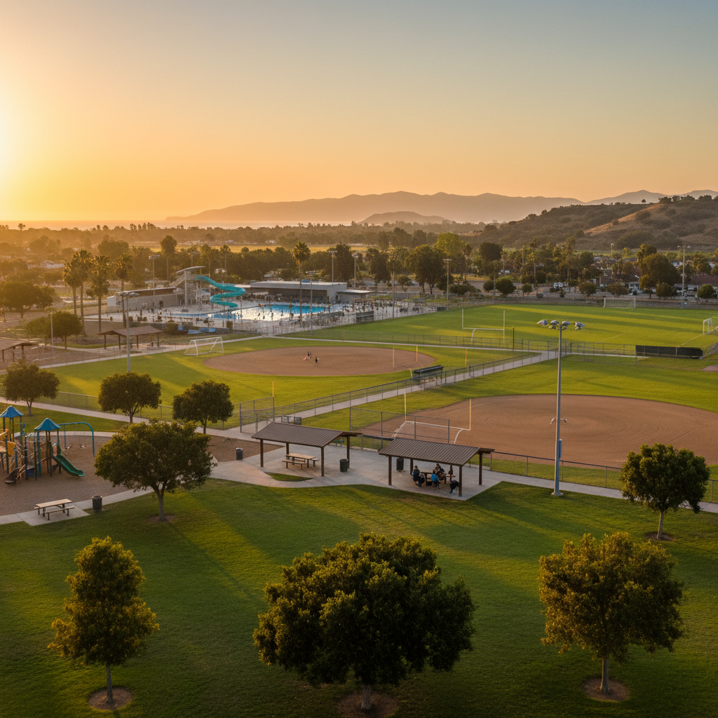
College Park
Oxnard's big sports-recreation park — softball quad, lighted soccer, an aquatic center, and shaded picnic ramadas.
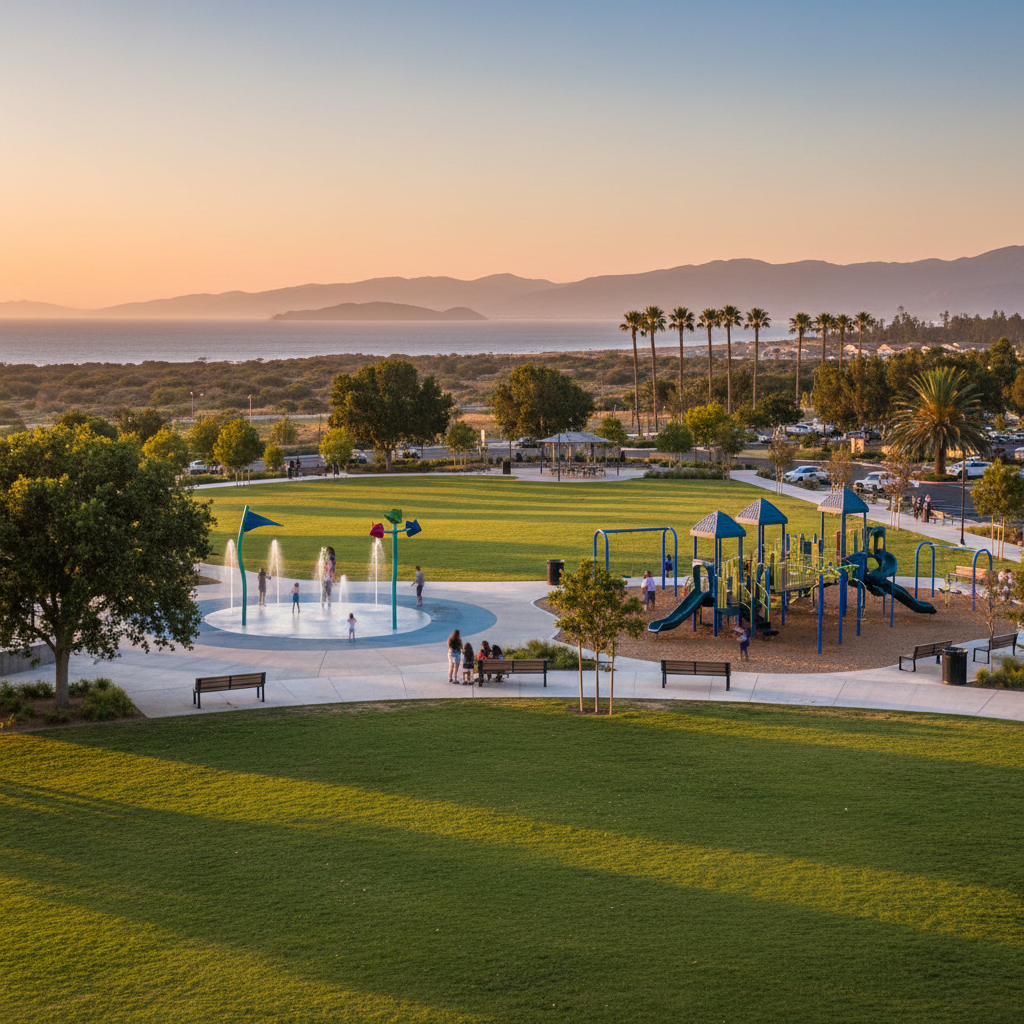
Del Sol Park
Centerpiece park of the RiverPark community — splash pad, big playground, and a long pedestrian promenade.
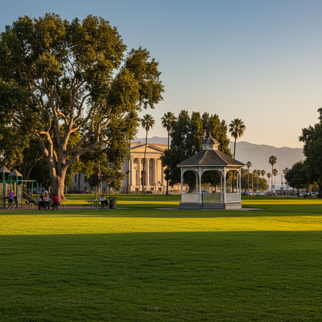
Wilson Park
A historic downtown Oxnard park — broad lawn, gazebo, and mature trees fronting the Carnegie Art Museum.
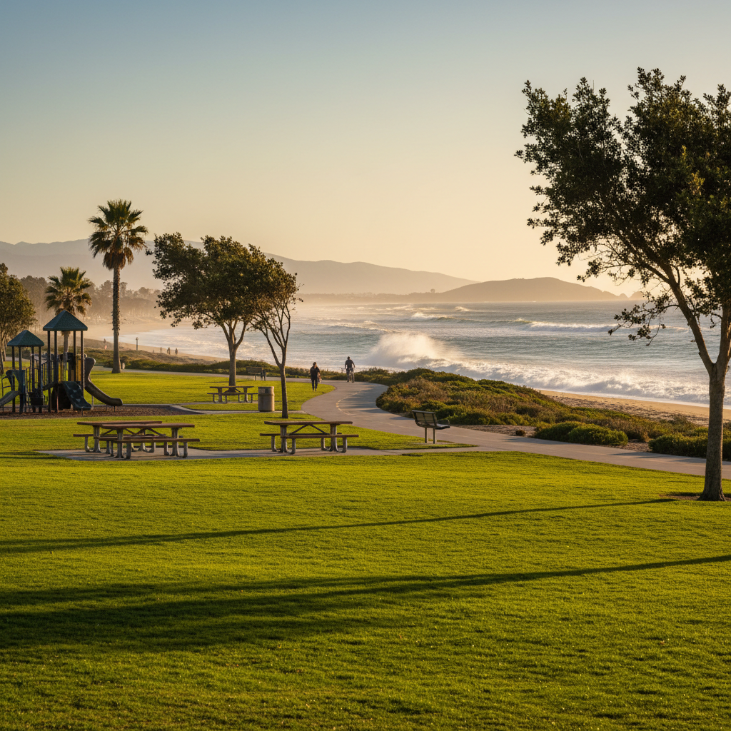
Bubbling Springs Park & Greenbelt
A long linear greenbelt connecting downtown Port Hueneme to the beach via a paved bike-and-walk path.
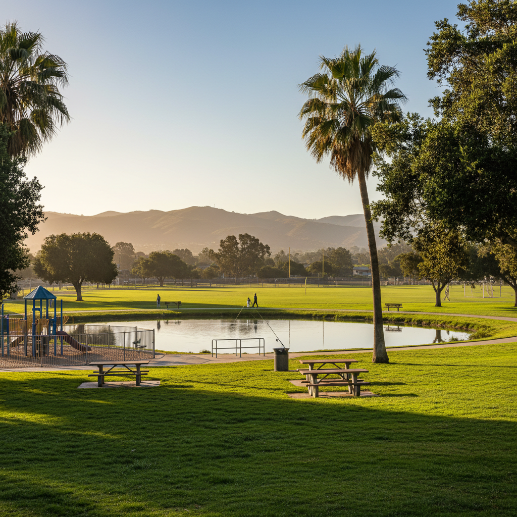
Moranda Park
A neighborhood park with a fishing pond, sports fields, and the Hueneme Bay walking loop adjacent.
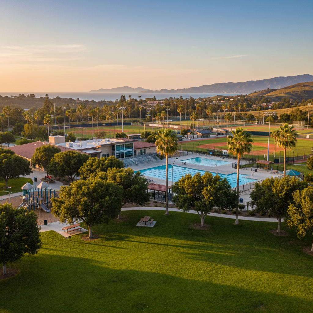
Pleasant Valley Aquatic Center & Park
Camarillo's premier swim and rec complex — pools, lighted ballfields, and a community center on a shaded campus.
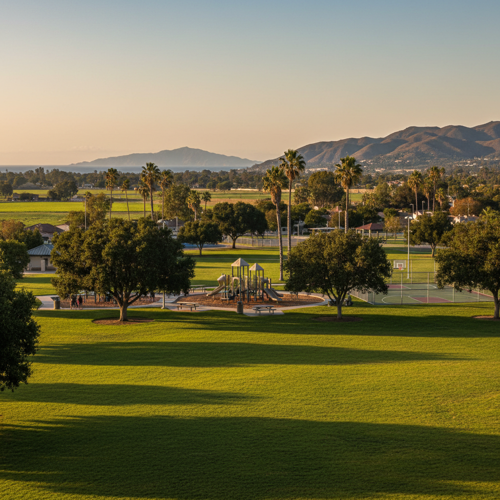
Mission Oaks Park
A wide neighborhood park anchoring Mission Oaks — sports fields, lighted basketball, and shaded picnic.
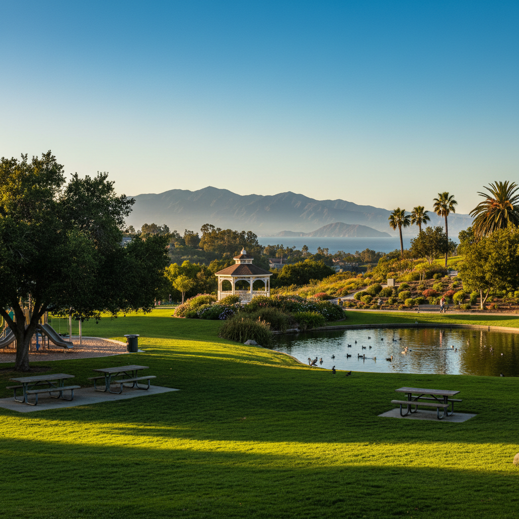
Conejo Community Park
The classic Conejo Valley community park — duck pond, big lawn, gazebo, and Conejo Valley Botanic Garden uphill.
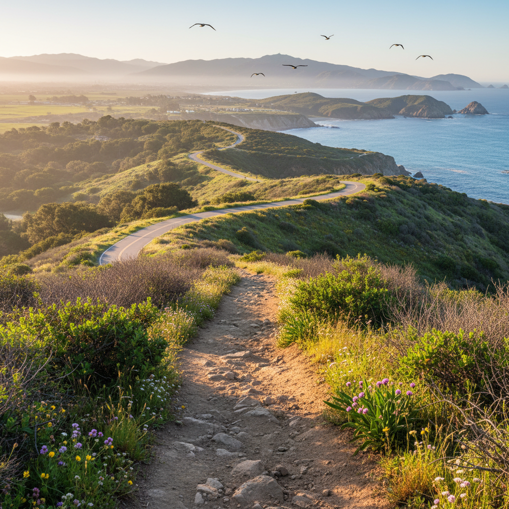
Conejo Canyons Open Space
3,000+ acres of western Conejo open space with the popular Western Plateau, Hawk Canyon, and Western Ridge trails.
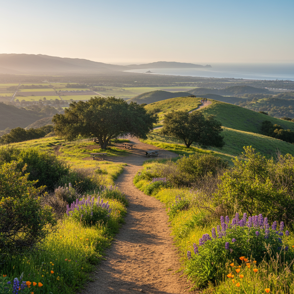
Los Padres Open Space (Lynn Oaks)
A network of oak-savanna ridges in northeast Newbury Park with easy access to the Lynnmere Trail.
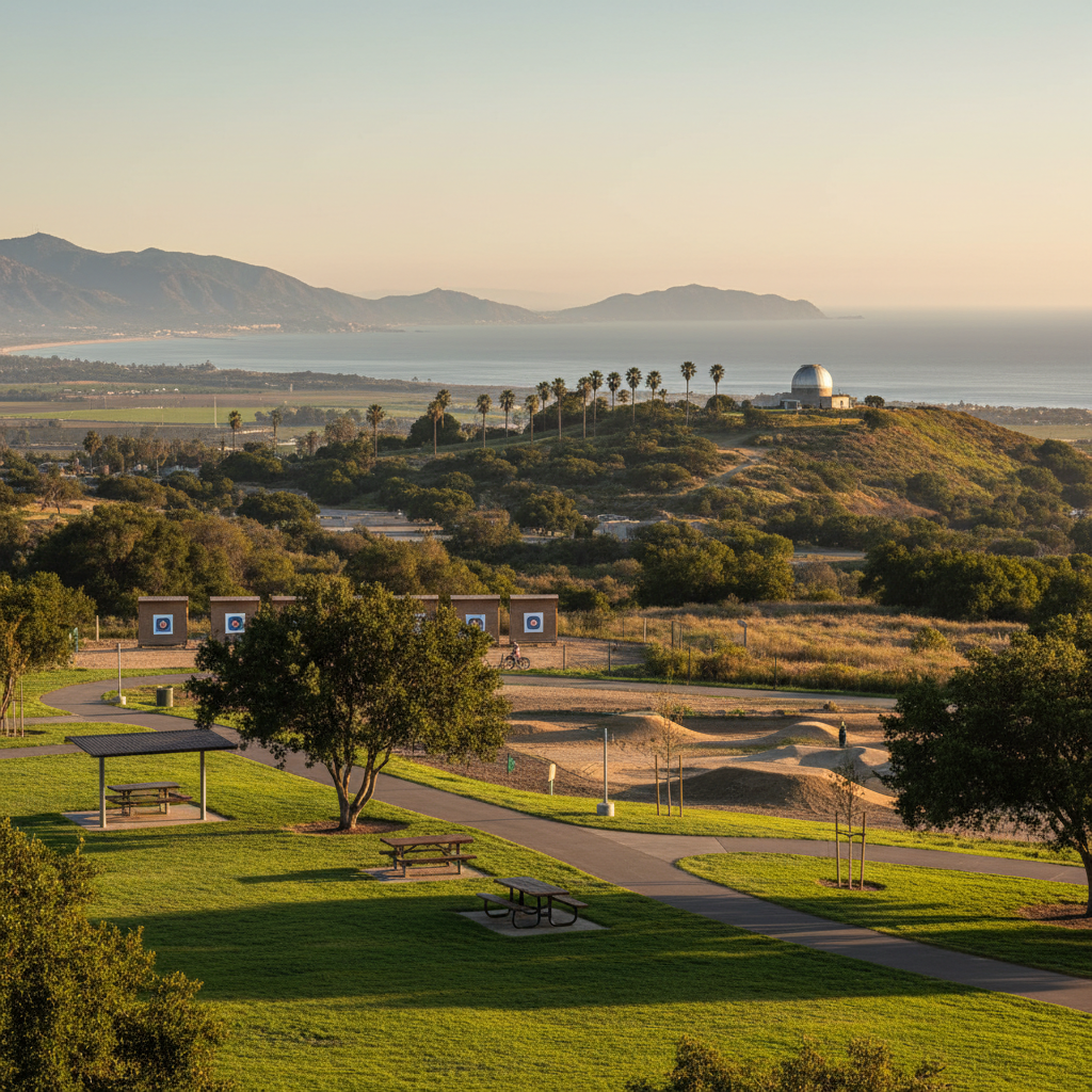
Sapwi Trails Community Park
A 100-acre trail-centric community park with mountain bike skills features, archery range, and an observatory.
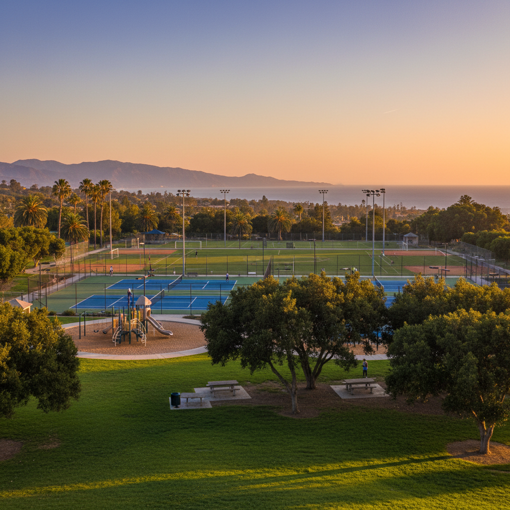
Triunfo Community Park
A big lighted-sports community park serving Westlake Village with fields, picnic areas, and tennis courts.
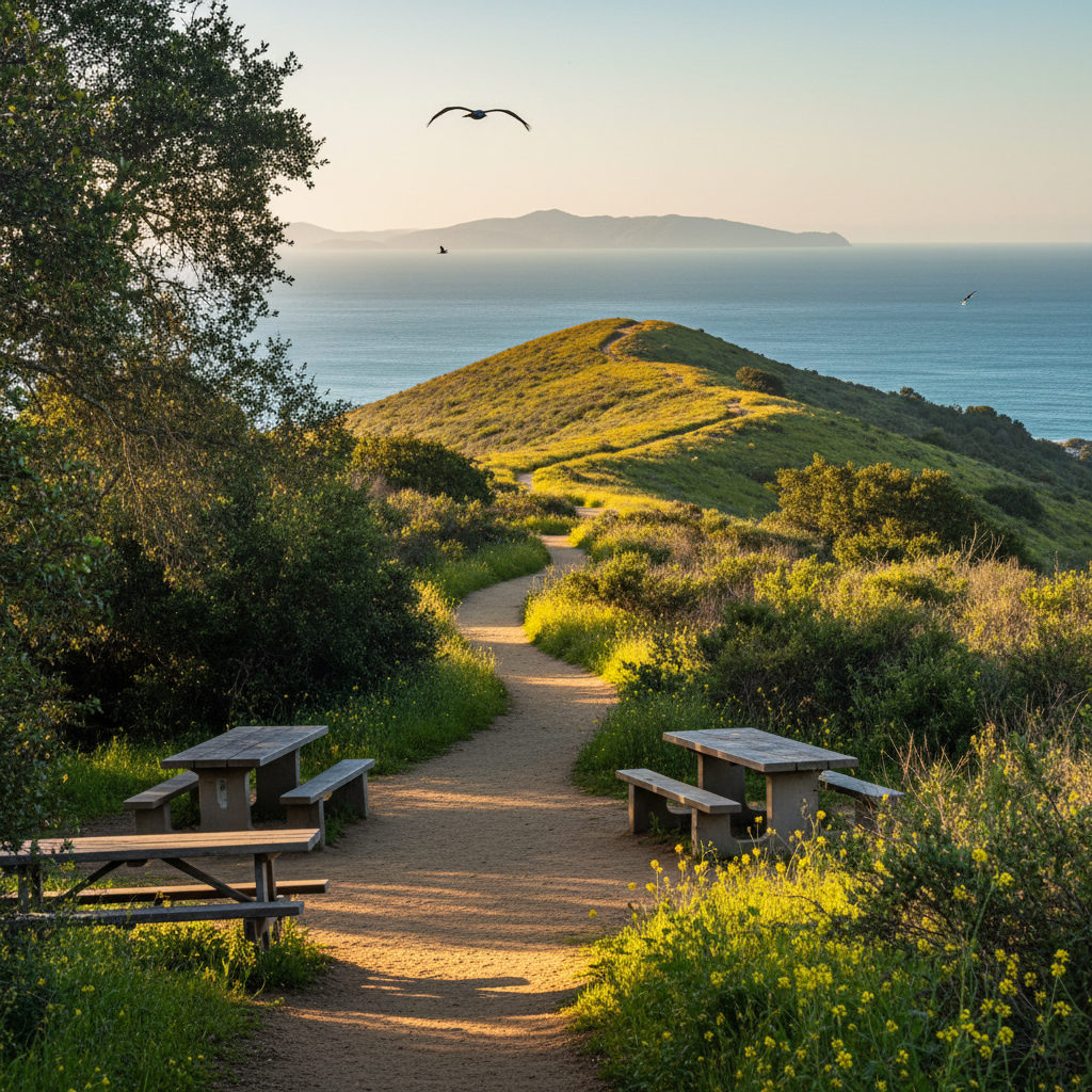
Glen Tavern Park & Steckel Trails
Quiet creekside trails surrounding the historic Steckel Park aviary and campground.
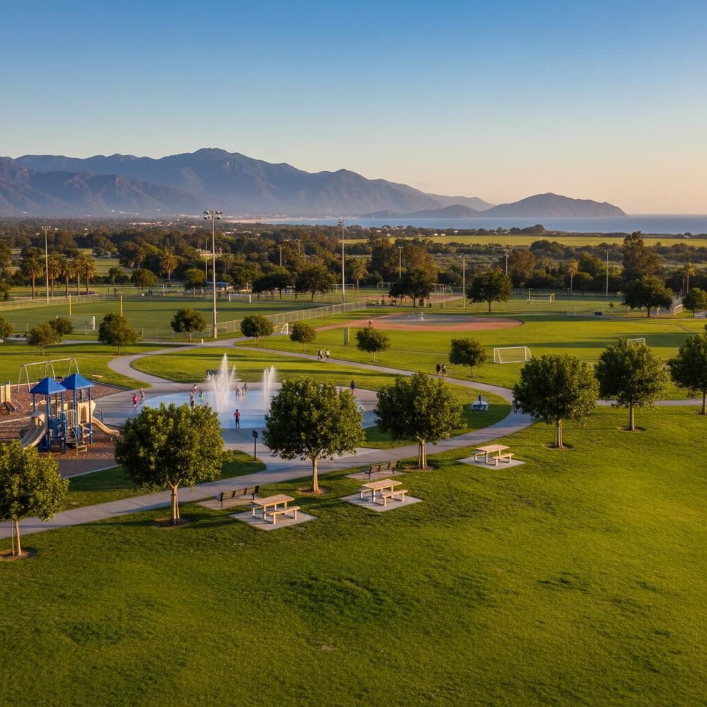
Mountain Vista Park (Saticoy)
A modern east-end park with sports fields, splash pad, and a big walking loop.
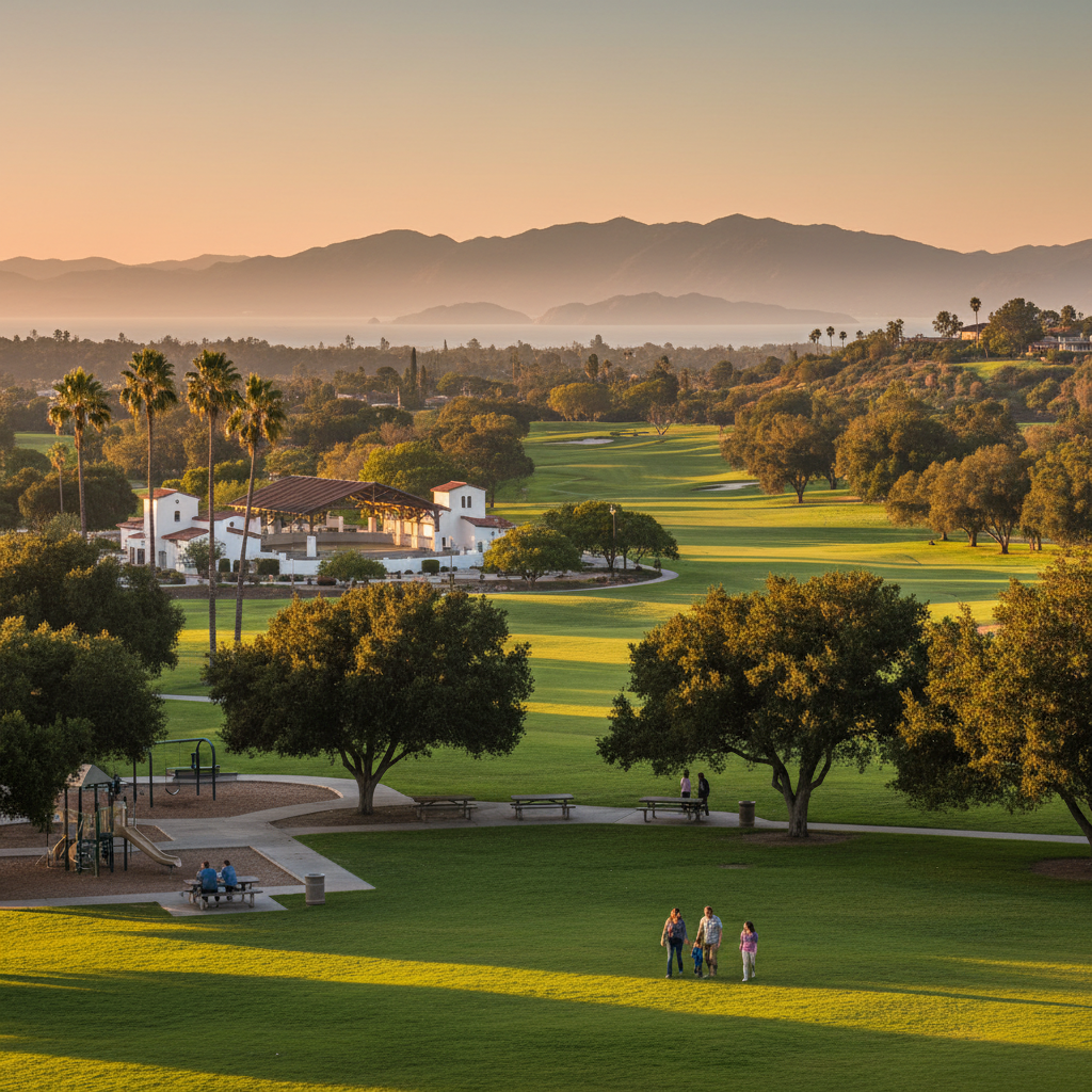
Soule Park Golf Course Walk
Downtown Ojai's Libbey Bowl outdoor amphitheater and adjacent civic park — the heart of Ojai festivals.
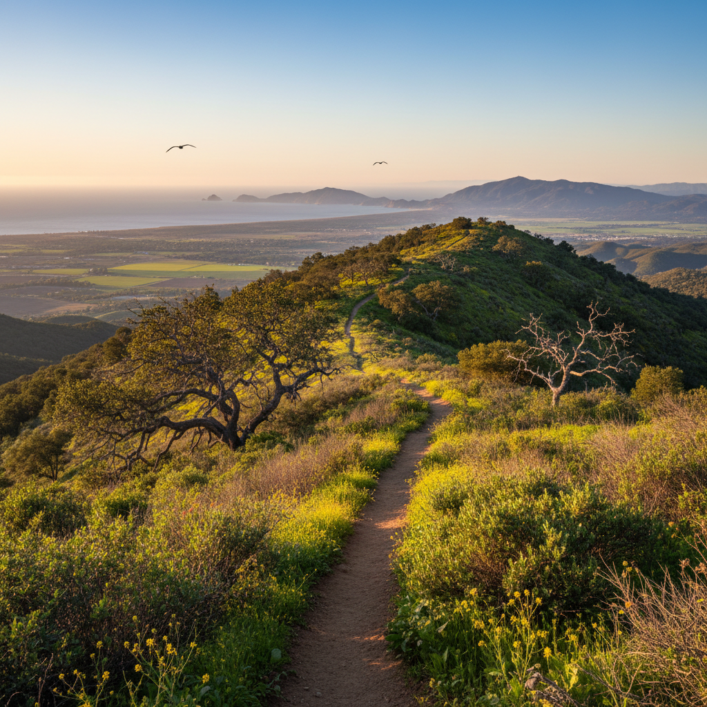
Stewart Canyon Trail (Pratt Connector)
A shaded creek-canyon climb behind Ojai's east end — connects to the Pratt Trail network.
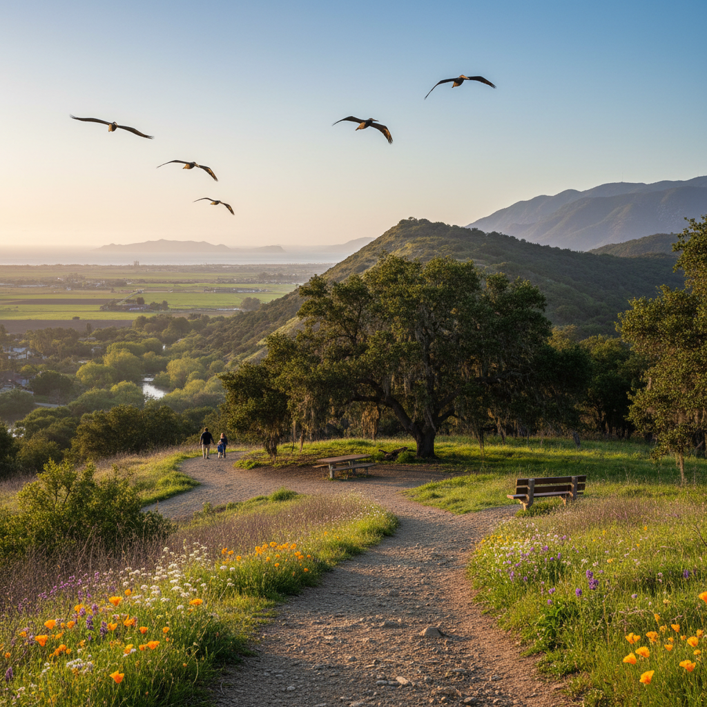
Ventura River Preserve
A 1,591-acre Ojai Valley Land Conservancy preserve along the Ventura River with shaded riparian trails and ridge loops.
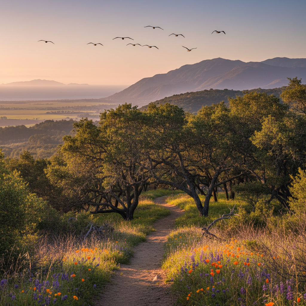
Ilvento Preserve
A small, quiet OVLC preserve linking the Ventura River Preserve with the Steelhead Preserve.
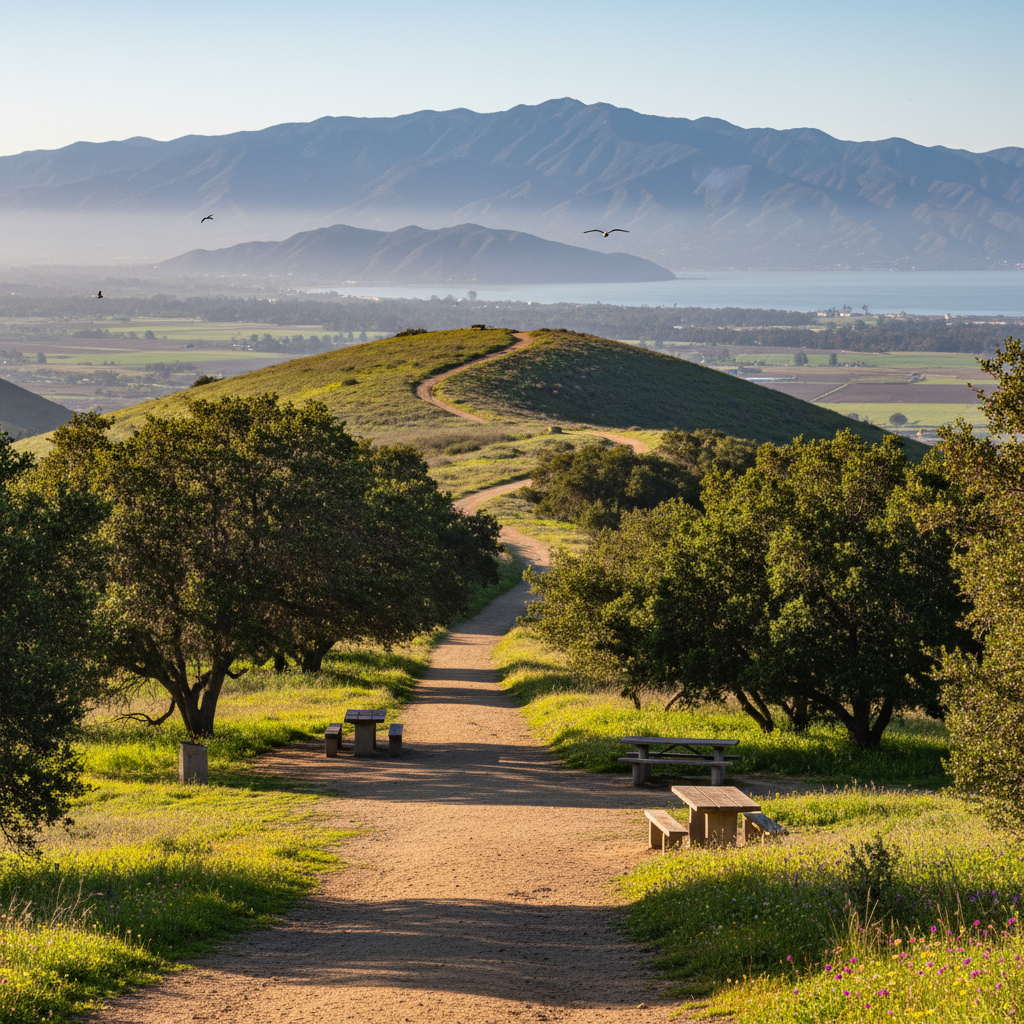
Steelhead Preserve
A riparian preserve along the lower Ventura River — the most important steelhead recovery habitat in Southern California.
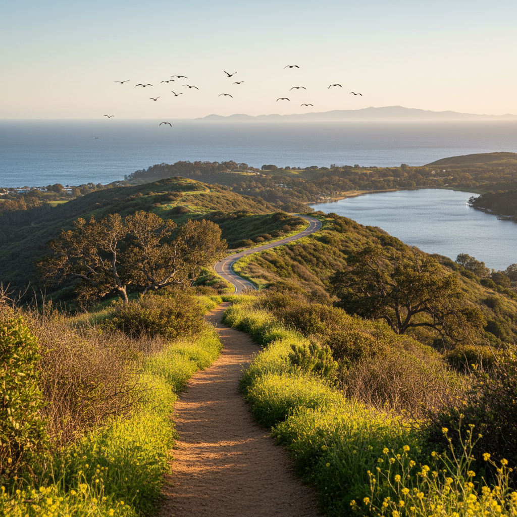
Lake Casitas Wendy Trailhead Loop
Quiet ridge trails along Lake Casitas with oak shade and water views.
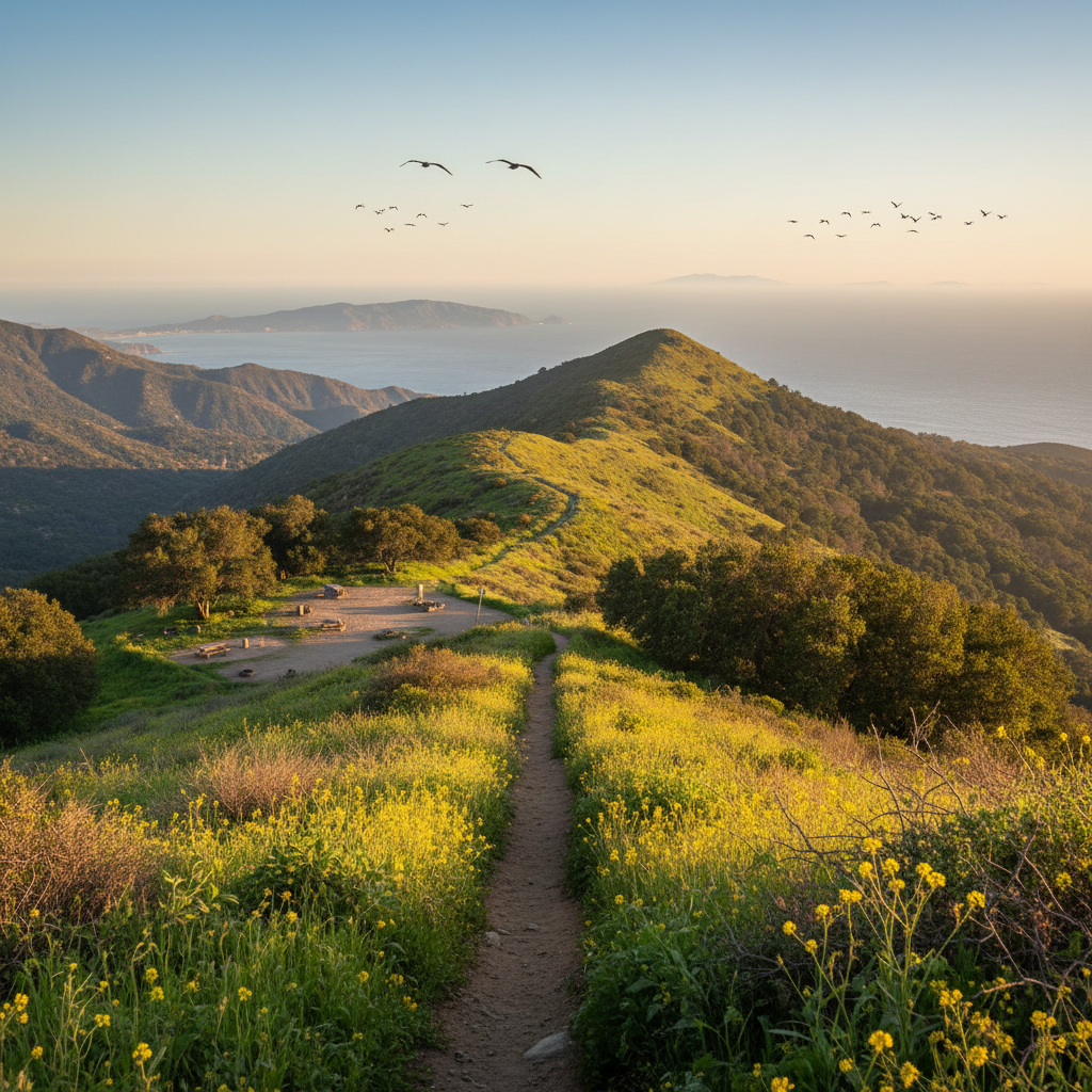
Matilija Wilderness (Murietta Canyon)
Wild Los Padres backcountry behind Ojai — Matilija Creek, the Wheeler Gorge area, and Murietta Camp.
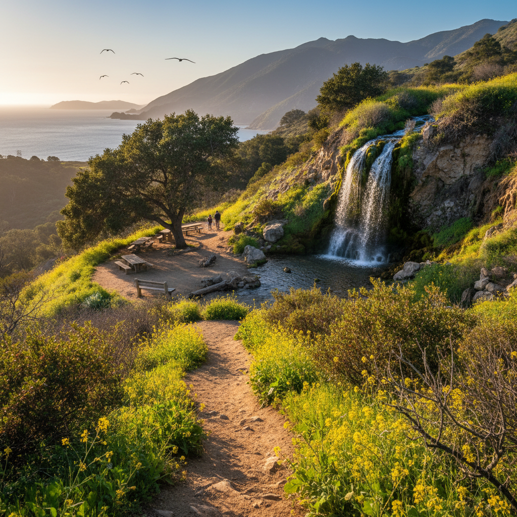
Rose Valley Falls
A short, family-friendly hike to a 300-foot tiered waterfall in the Los Padres National Forest above Ojai.
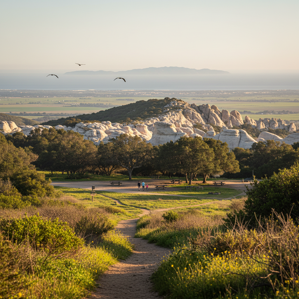
Piedra Blanca Trail
A short hike to dramatic white sandstone formations in the Sespe Wilderness above Ojai.
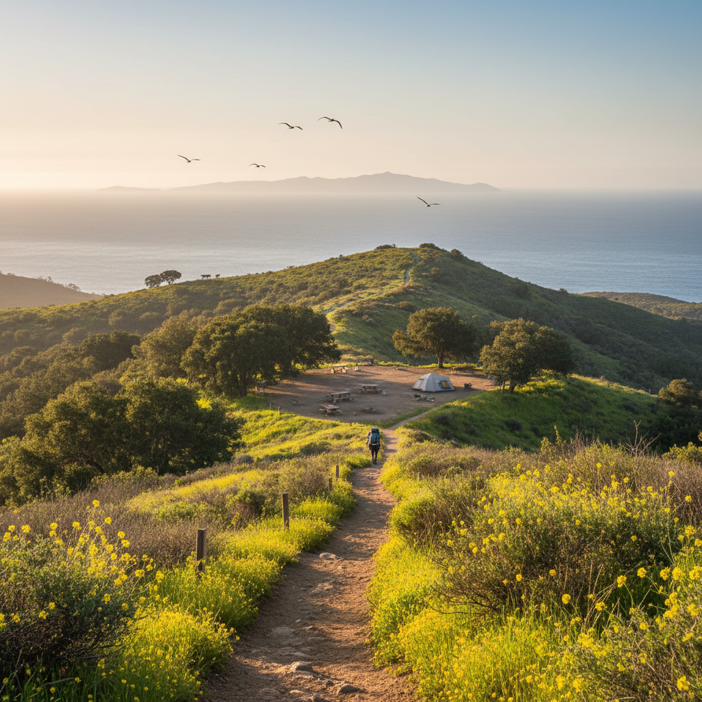
Sespe Hot Springs / Willett Hot Springs
A classic Southern California backpack to a hot spring tub deep in the Sespe Wilderness above Ojai.
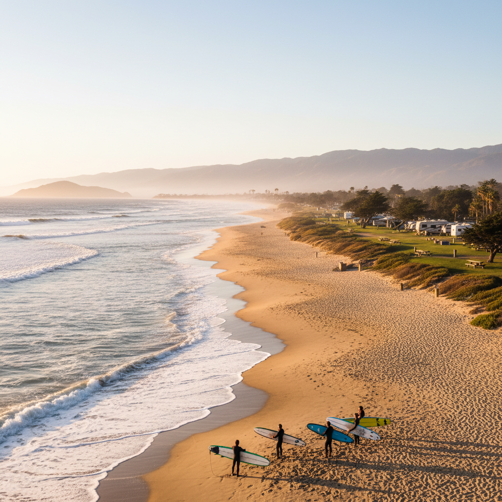
Punta Gorda / Faria Beach Park
A small Ventura County Parks campground and beach access along the Rincon coast.
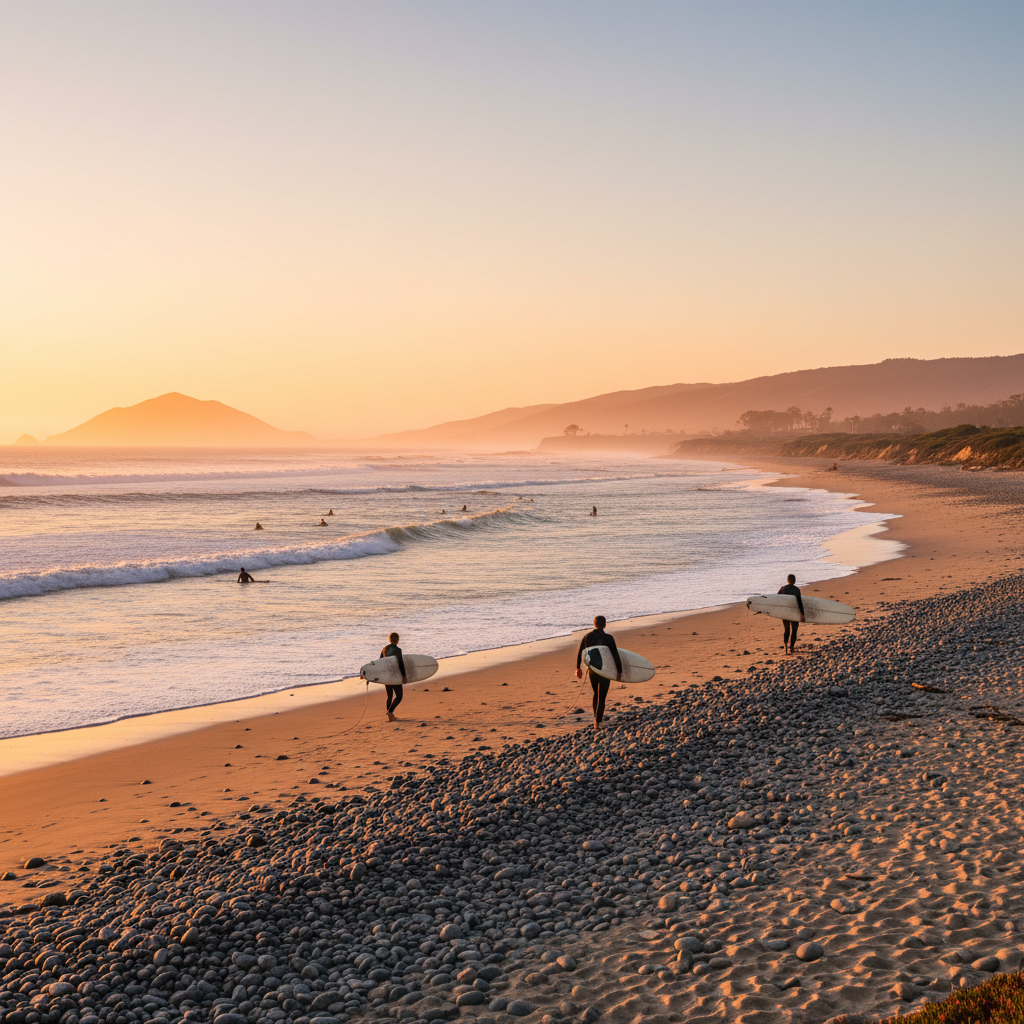
Solimar Beach
A long, quiet cobble-and-sand stretch of the Rincon coast favored by walkers and surfers.
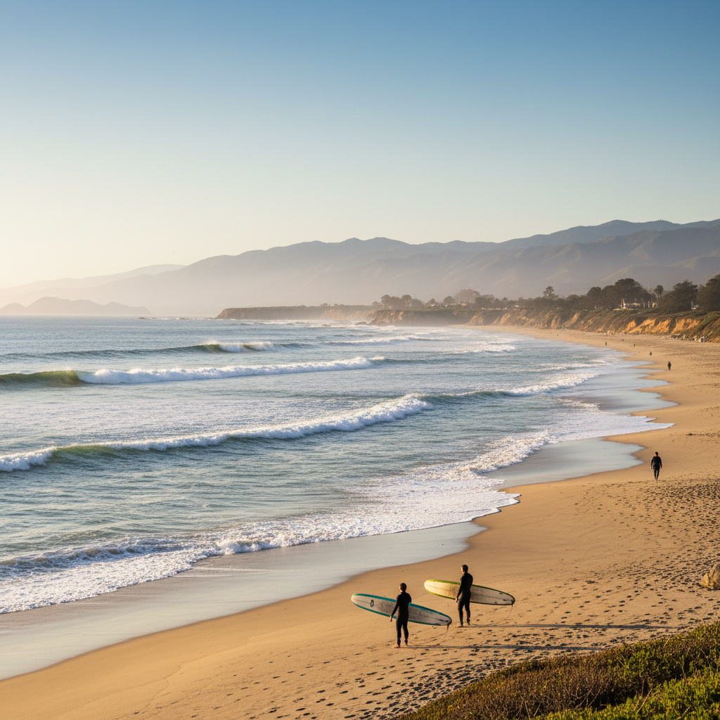
Mussel Shoals (La Conchita Beach Access)
A tiny coast community with a quiet pocket beach and reef breaks just south of the Rincon.
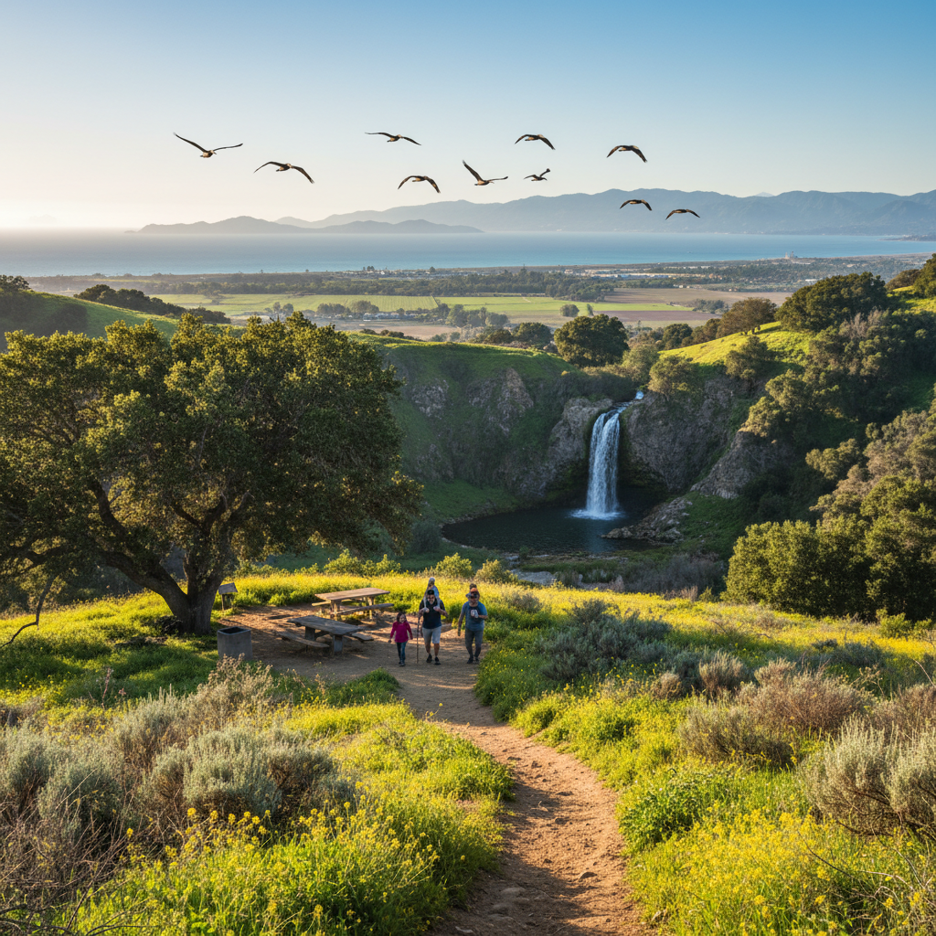
Paradise Falls (Wildwood)
Thousand Oaks' showpiece — a 40-foot seasonal waterfall reached by a 2.5-mile family hike through Wildwood Regional Park.
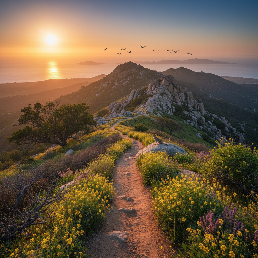
Sandstone Peak (Mishe Mokwa)
The highest peak in the Santa Monica Mountains — a 6-mile loop with Channel Islands views from the Circle X Ranch side of Ventura County.
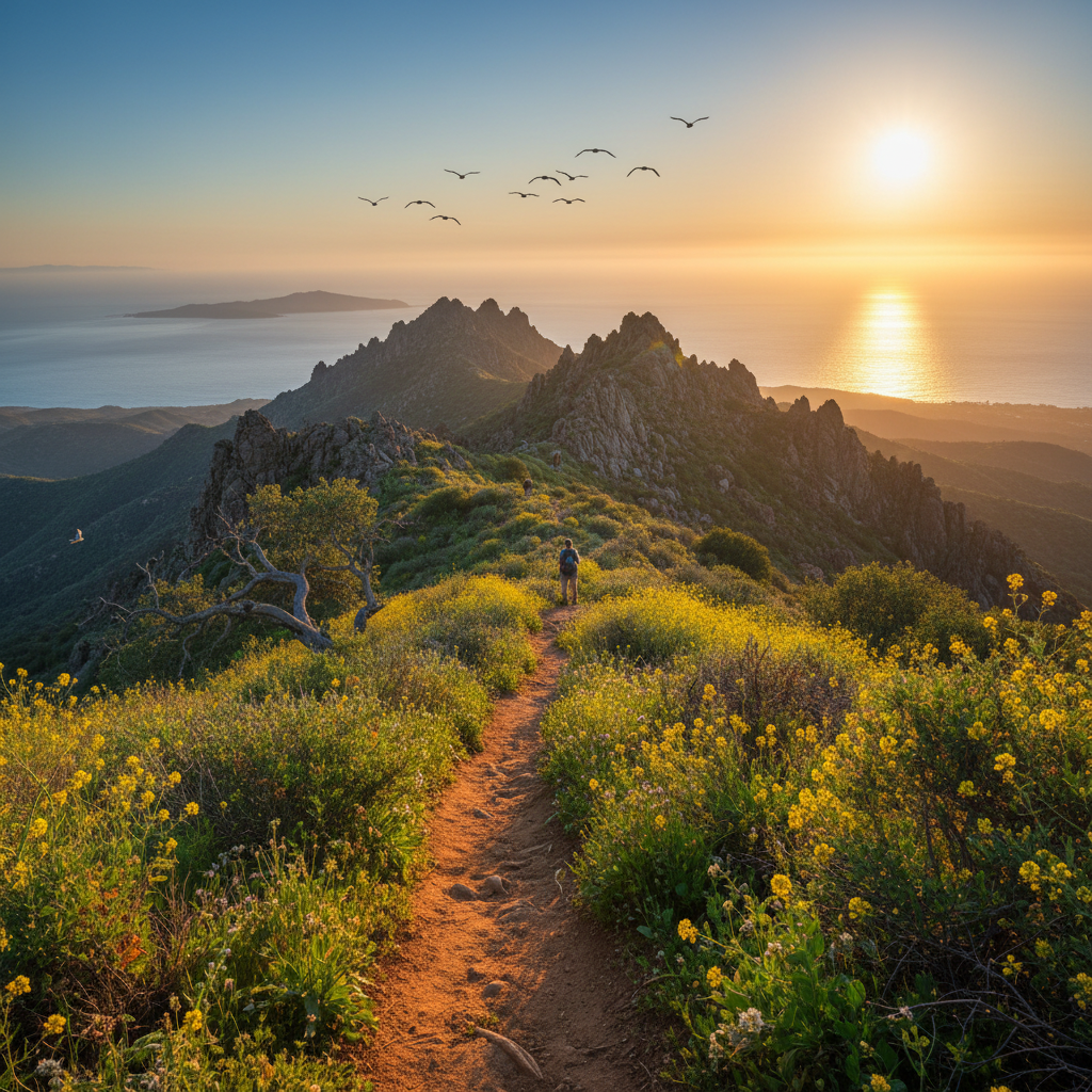
Boney Mountain Wilderness
The rugged volcanic backbone south of Newbury Park — Tri-Peaks, the Western Ridge, and access via Danielson Monument from the Satwiwa side.
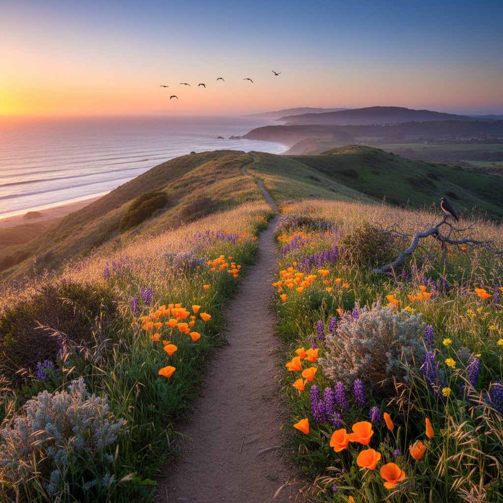
La Jolla Valley Loop (Point Mugu)
A hidden grassland valley high above PCH — wildflowers in spring, native bunchgrass, and ocean views from a quiet 8-mile loop.
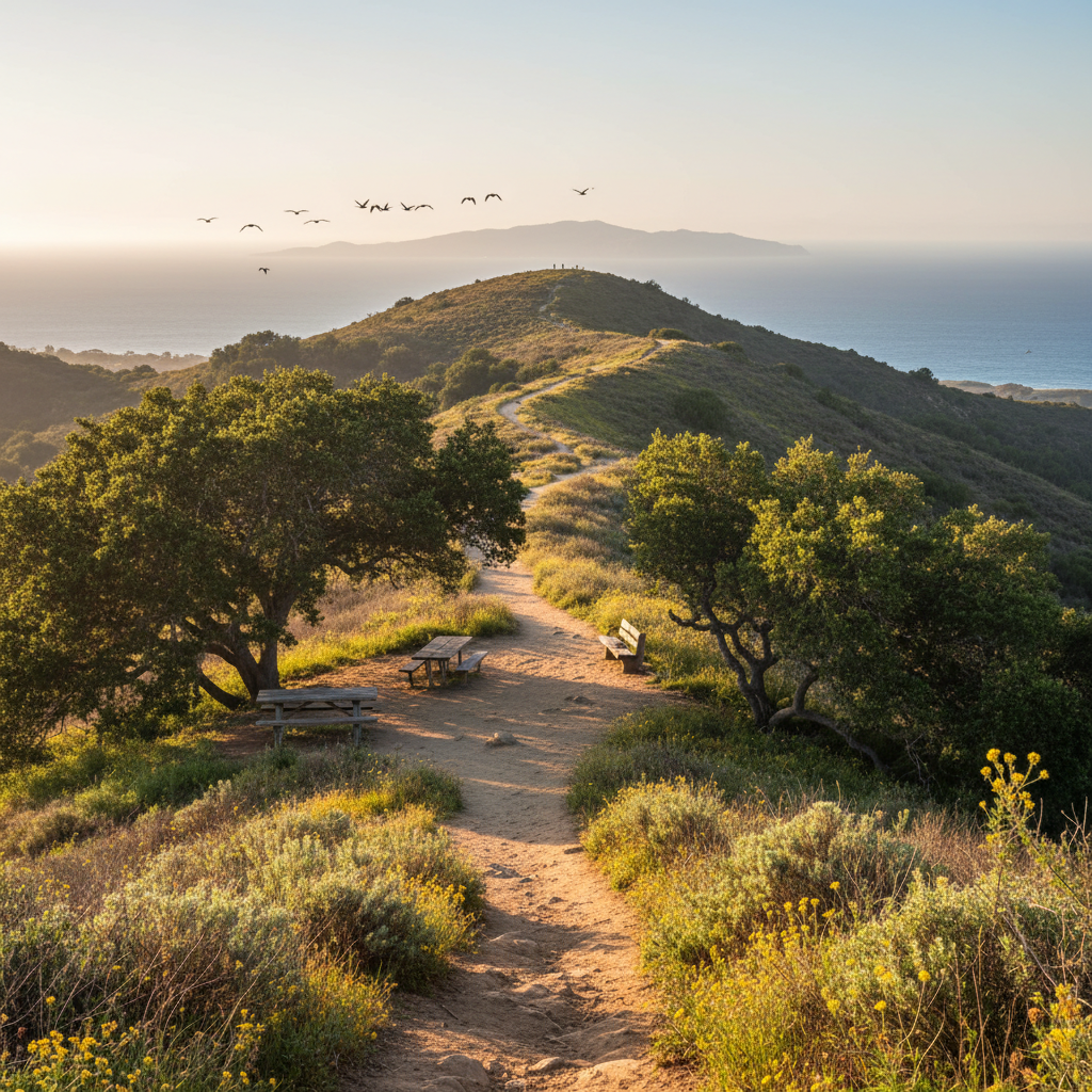
Solstice Canyon (north access)
The Sycamore Canyon Falls hike from Rancho Sierra Vista — shaded creek crossings to a seasonal waterfall.
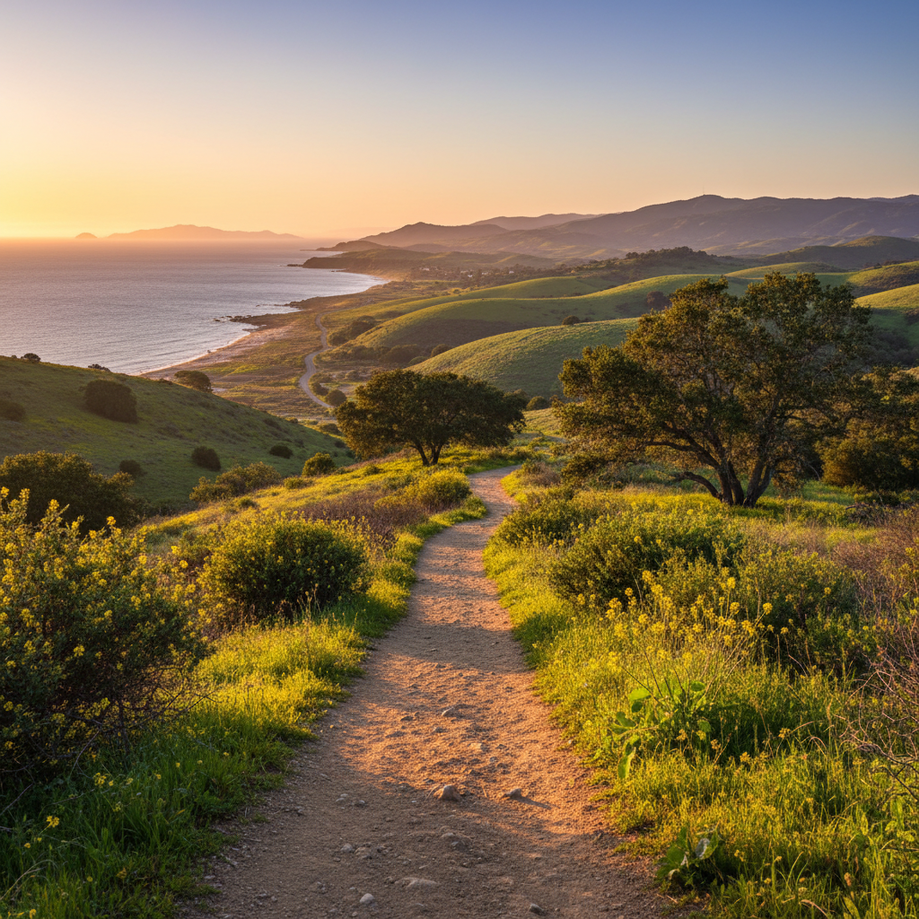
Cañada Larga Open Space
Wide-open ranchlands and ridges behind Ventura — a peaceful 8-mile out-and-back ranch road climb.
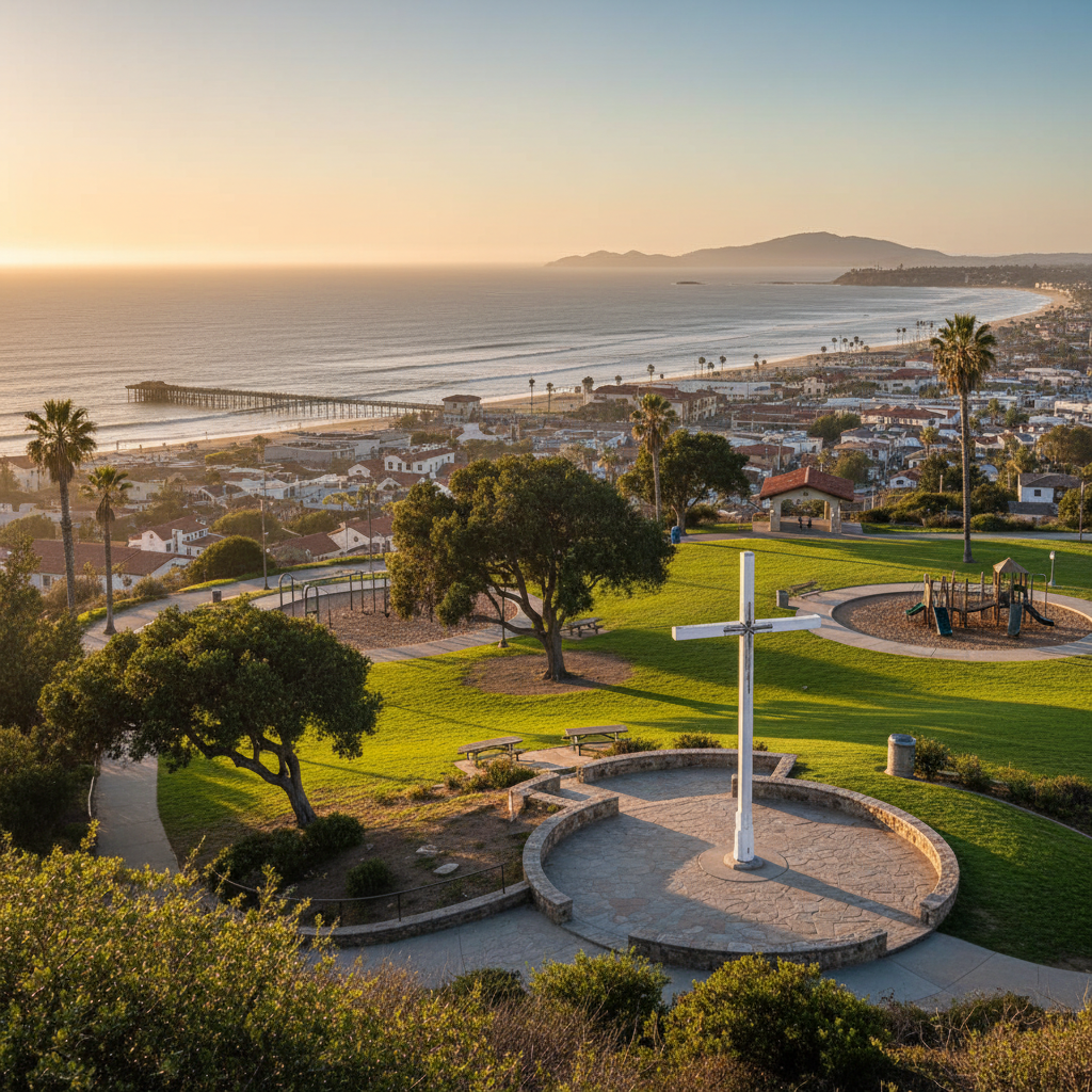
Grant Park & Serra Cross
The hilltop park above downtown Ventura with the iconic Serra Cross and the best 180-degree view of the city, pier, and Channel Islands.
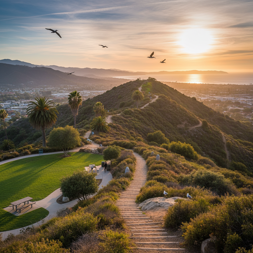
Ventura Botanical Gardens
A 109-acre Mediterranean-climate botanical garden climbing the hillside behind Mission San Buenaventura with the best free downtown panorama.
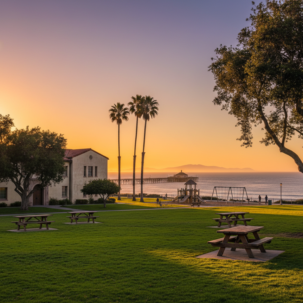
Cemetery Memorial Park
A small downtown Ventura park with views over the pier — a quiet, historic green space tucked behind City Hall.
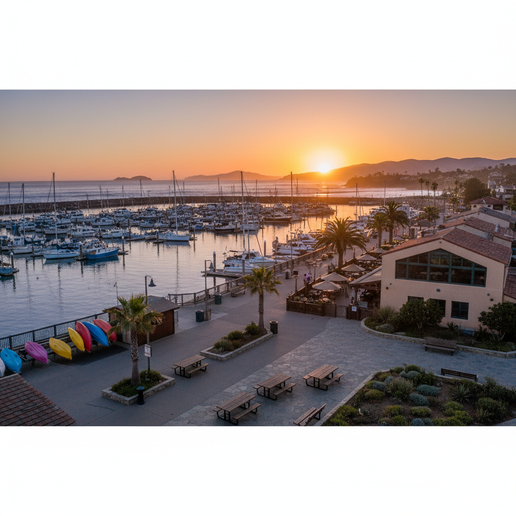
Ventura Harbor Village Park
Walkable harbor promenade with Channel Islands National Park visitor center, fishing fleet, paddle rentals, and waterfront restaurants.
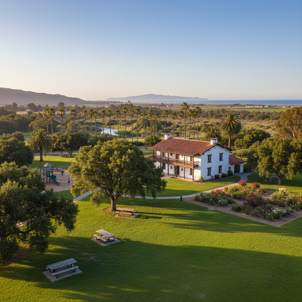
Olivas Adobe Park
A historic 1837 hacienda surrounded by lawns, rose gardens, and oak-shaded picnic space along the Santa Clara River.
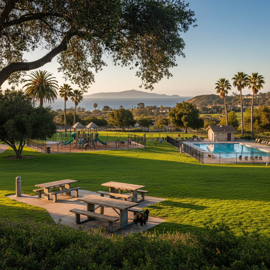
Mound Park
A midtown neighborhood park with sports fields, a community pool, and a long off-leash dog area.
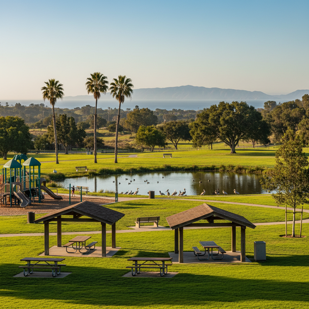
Community Memorial Park
A classic midtown park with a duck pond, big playground, and shaded picnic ramadas.
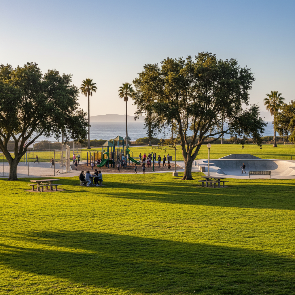
Kellogg Park
A Westside Ventura community park with a popular playground, basketball, and skate features.
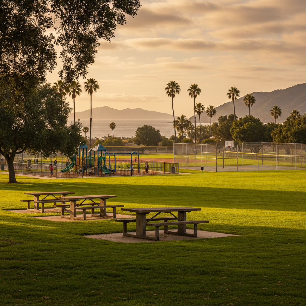
Cornerstone Park
A modern East Ventura park with ballfields, basketball, and a popular fenced playground.
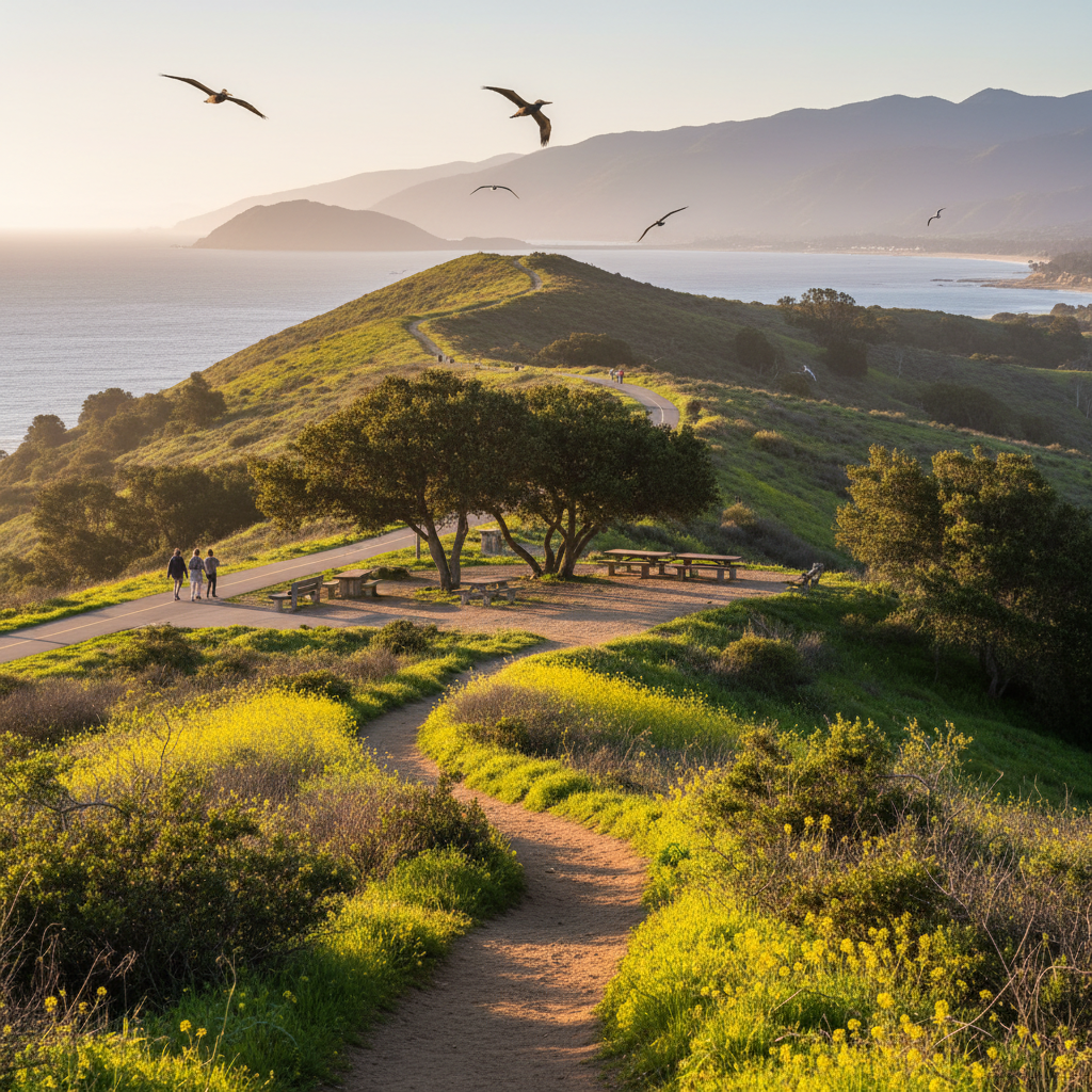
Big Sky Trailhead (Wildwood)
The northern gateway to Wildwood Regional Park and a network of fast, rolling open-space trails.
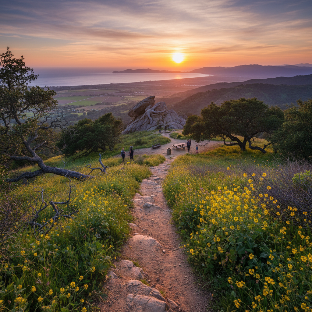
Lizard Rock
The iconic sandstone outcrop and panorama point of Wildwood Regional Park.
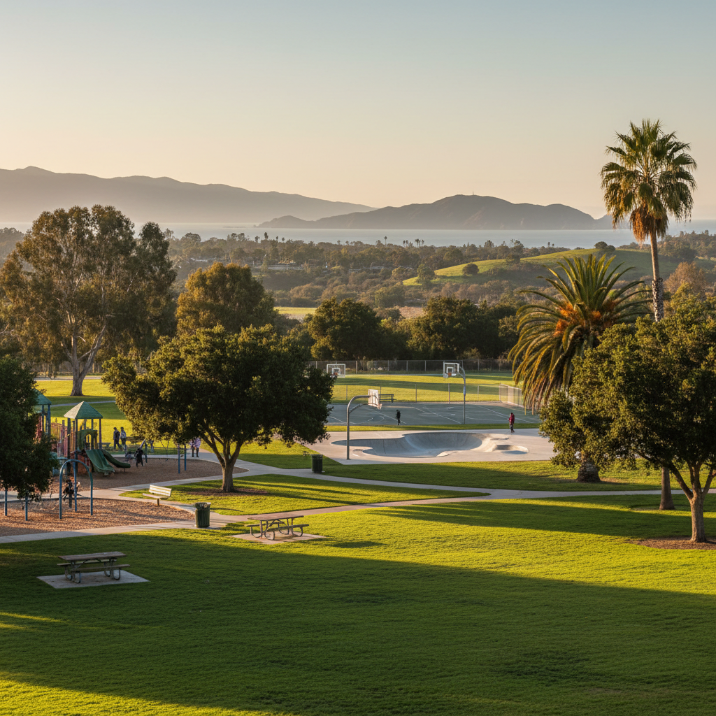
Borchard Community Park
A 22-acre Newbury Park community park with sports fields, basketball courts, a skate park, and a fun playground.
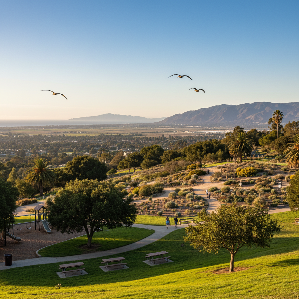
Conejo Valley Botanic Garden
A 33-acre volunteer-run botanic garden with themed gardens, easy trails, and great Conejo Valley views.
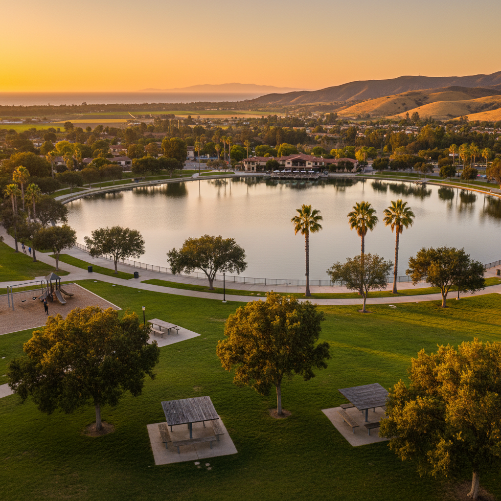
Westlake Lake Park
A scenic 125-acre man-made lake at the heart of Westlake Village, ringed by walkways and home to The Landing waterfront restaurants.
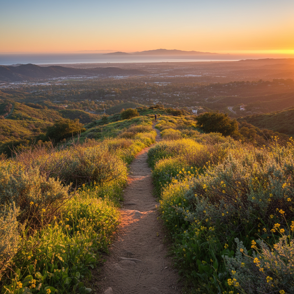
Calabasas Peak (via Cold Creek)
A short, steep climb to a stunning sandstone summit with panoramic Conejo Valley and Pacific views — just over the Conejo line.
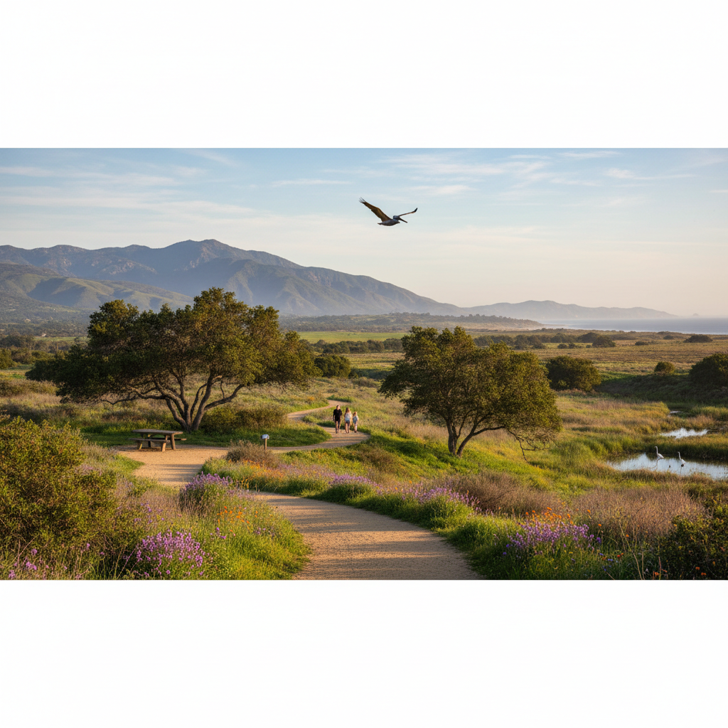
Ojai Meadows Preserve
A 58-acre restored wetland and meadow preserve on the edge of Ojai — perfect for an easy walk with mountain views.
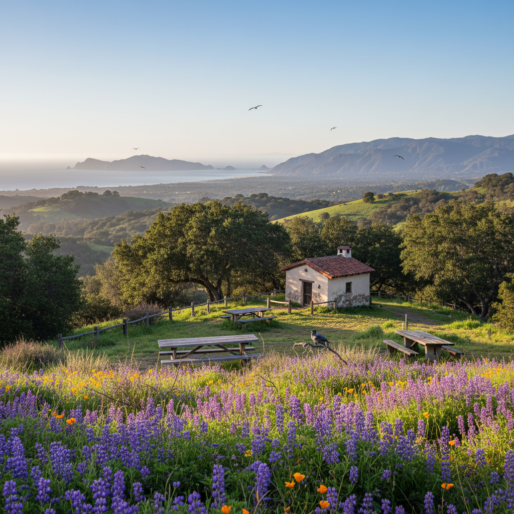
Taft Gardens & Nature Preserve
A 265-acre upper Ojai garden and preserve specializing in plants from Mediterranean climates worldwide.
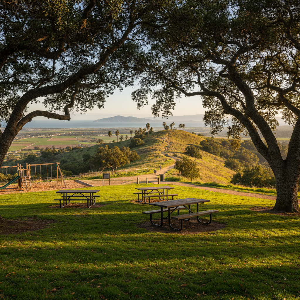
Mountain View Cemetery / Hill Section Trails (Camarillo Grove Park)
A 31-acre county park at the base of the Conejo Grade with oak shade, picnic ramadas, and trail access into the foothills.
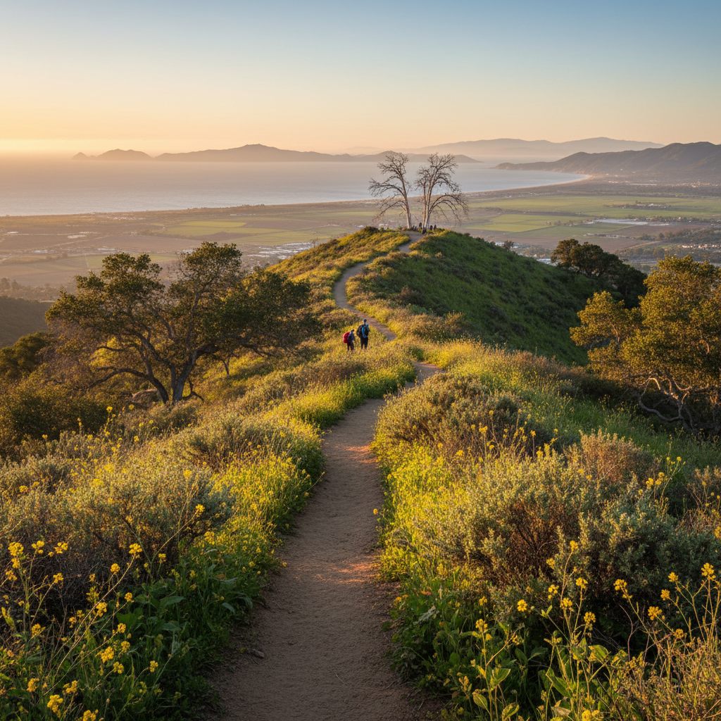
Two Trees Lookout via Arroyo Verde
A 3-mile ridge loop from Arroyo Verde Park with classic Ventura ridge views and a dramatic finish to the back-of-park sycamores.
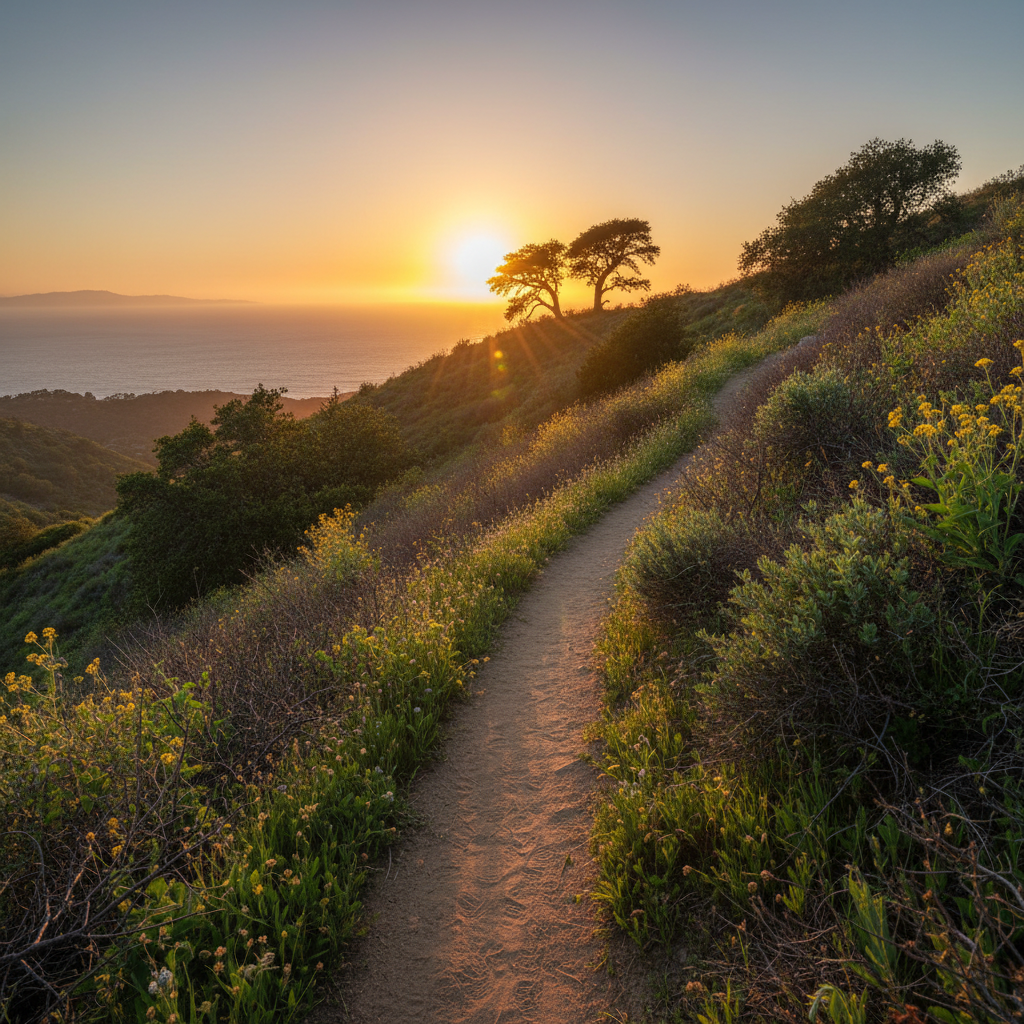
Two Trees Trail
The classic short Ventura sunset hike — a steep 1.5-mile climb to the two iconic trees on the hill above town.
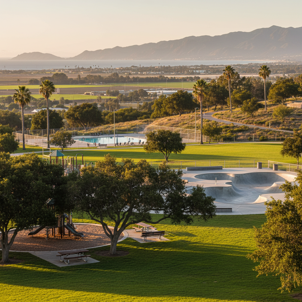
Kimball Park
A 53-acre east Ventura park with a great skate park, sports fields, dog-friendly trails, and a popular community pool.
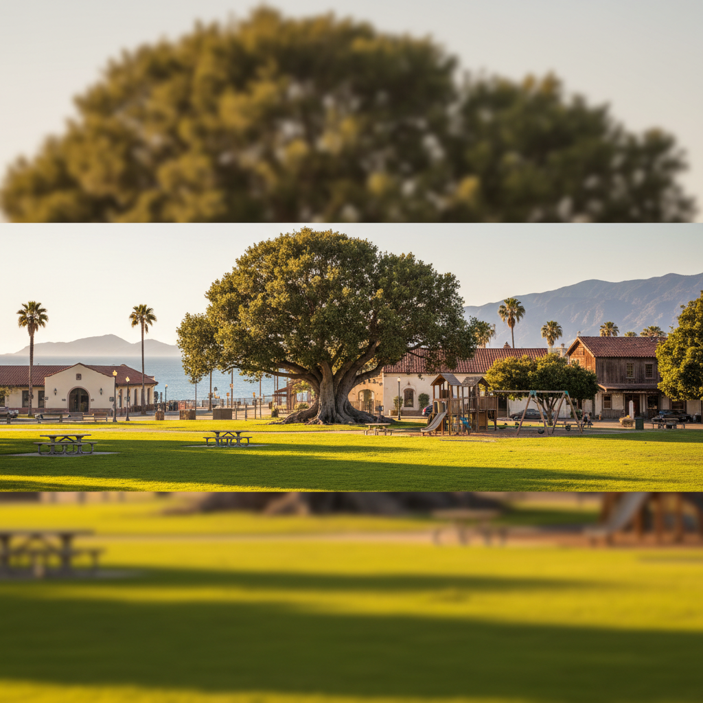
Plaza Park
The historic central plaza of downtown Ventura — home to the iconic Moreton Bay fig tree, the train depot, and the city's farmers market.
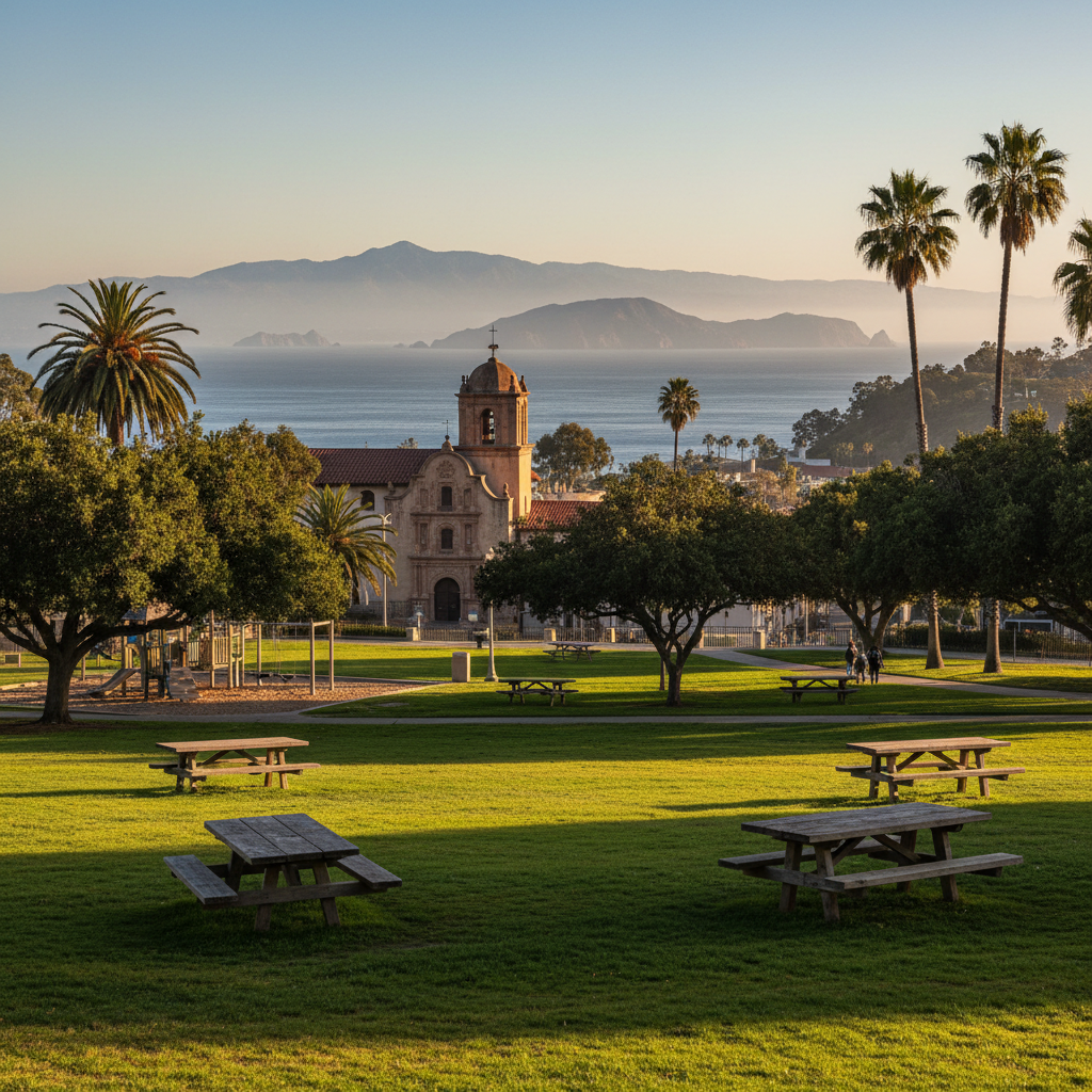
Mission Park
The historic public square in front of San Buenaventura Mission — the founding heart of Ventura.
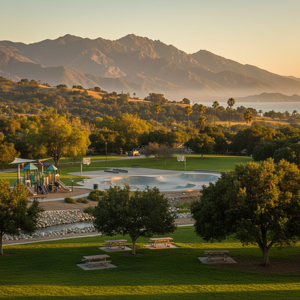
Mountain View Park
A 13-acre Meiners Oaks community park with a creek-side play area, sports courts, and a popular skate park.
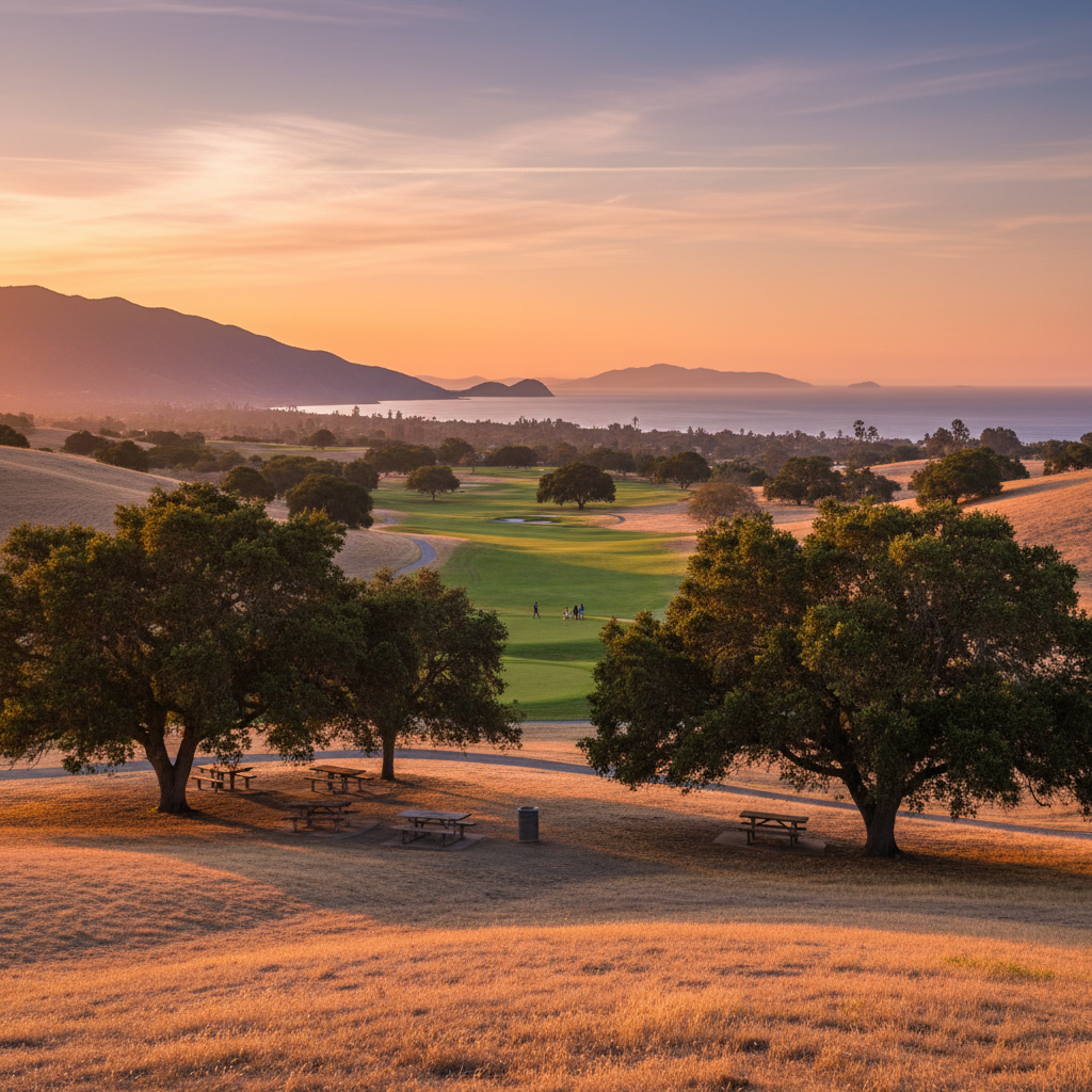
Soule Park
A 200-acre county park on the east edge of Ojai with picnic areas, a golf course, and big oak shade.
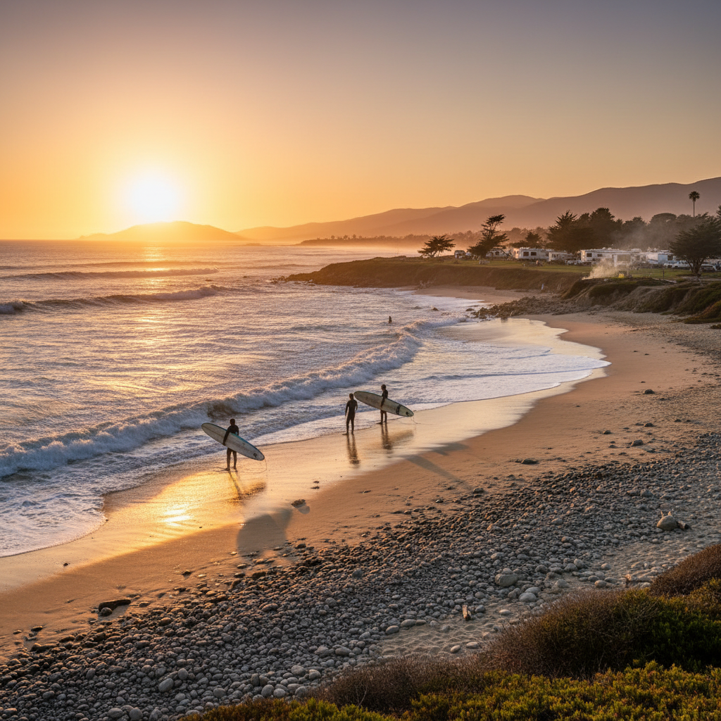
Faria Beach
A small county beach park north of Ventura with beachfront camping, a sandy/cobble shore, and a beloved local point break.
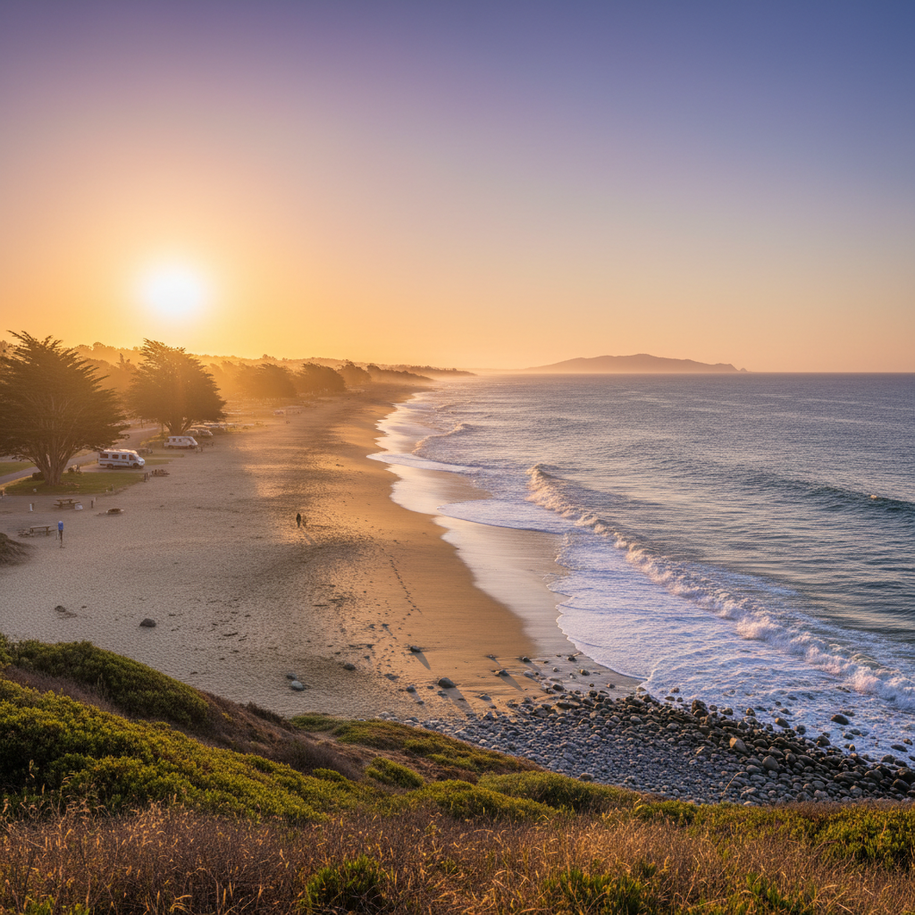
Hobson Beach
A small county beach park just south of La Conchita with beachfront camping and a quiet stretch of cobble shore.
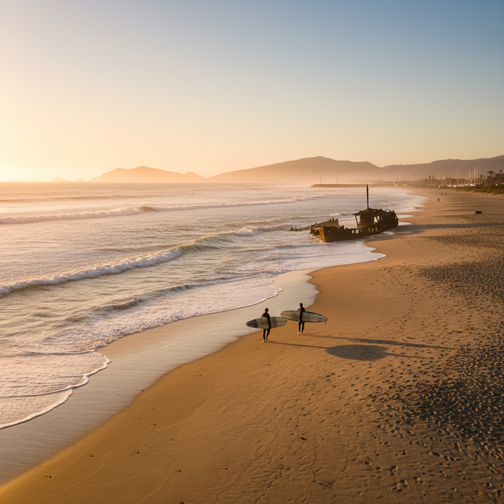
Silver Strand Beach
A wide sandy beach south of Channel Islands Harbor known for its mellow vibe, beach walks, and the shipwreck remains of the SS La Jenelle.
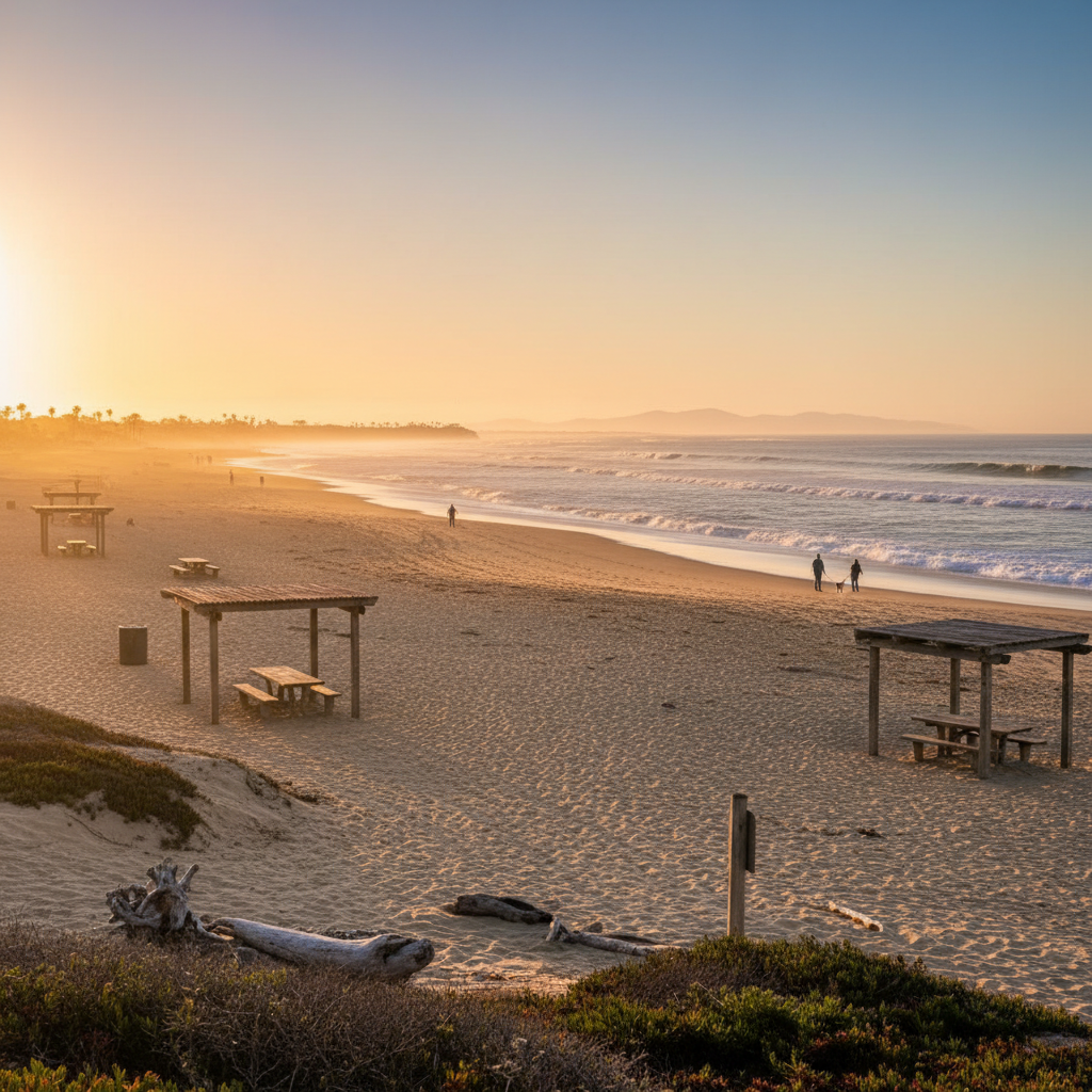
Beach Park Dog Beach (Hollywood Beach)
A long sandy beach between Mandalay and Channel Islands Harbor — quiet, residential, and great for long walks.
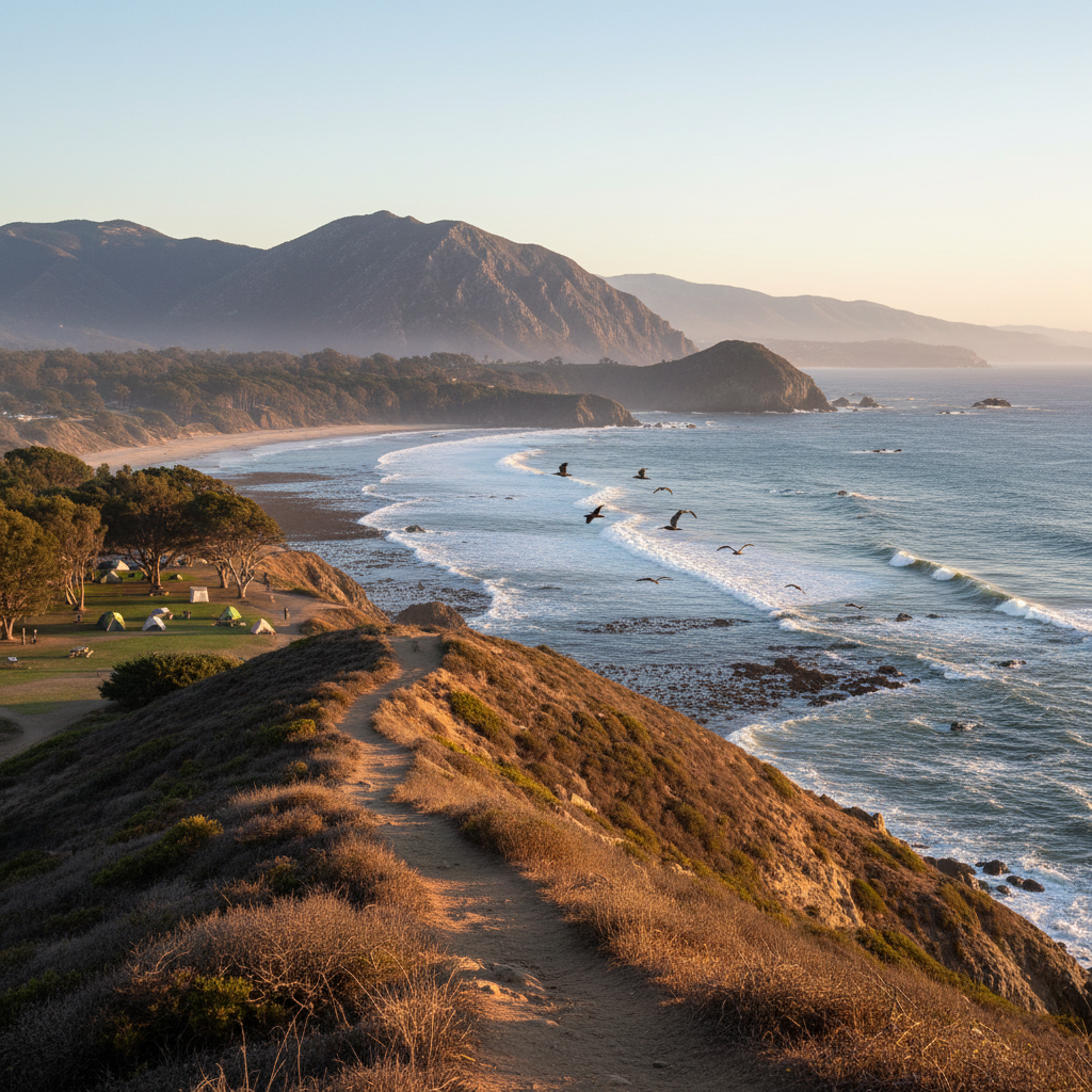
Santa Cruz Island
The largest island in California — 96 square miles of mountains, sea caves, endemic species, and the world's largest sea cave at Painted Cave.
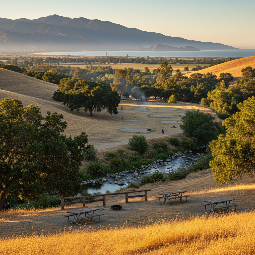
Steckel Park
A 110-acre wooded county park in the Heritage Valley with campsites, picnic areas, an aviary, and Santa Paula Creek running through it.
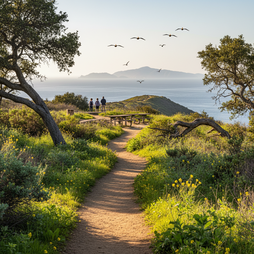
Santa Paula Canyon Trail (Punch Bowls)
A classic 6-mile out-and-back through citrus groves and oak canyon to a series of swimming pools (the Punch Bowls) and a waterfall.
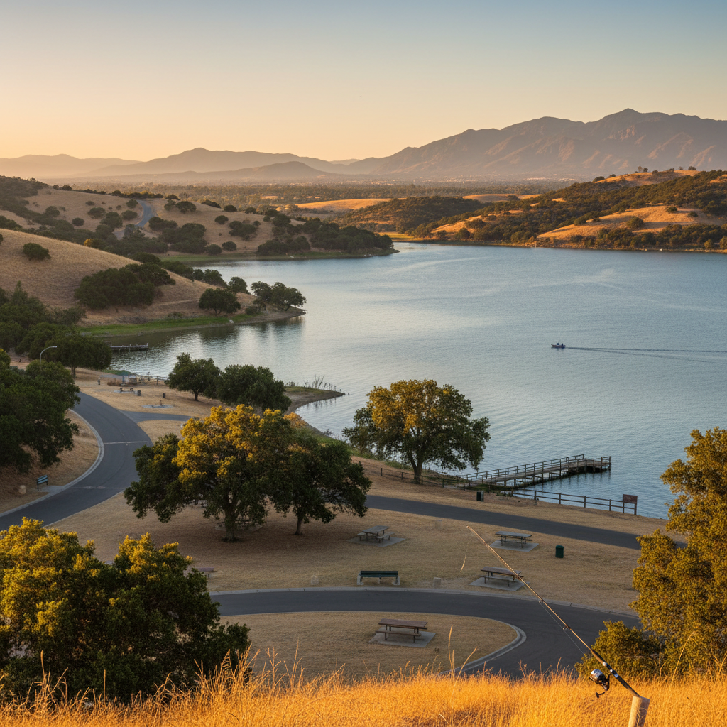
Lake Piru Recreation Area
A 1,200-acre lake in the east county with boating, swimming, fishing, and camping in dramatic oak and chaparral foothills.
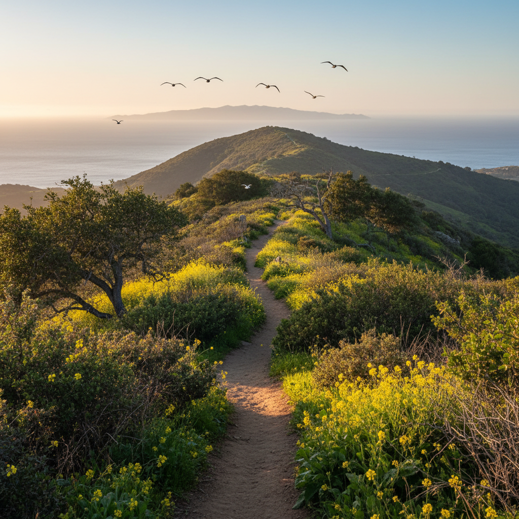
Toland Park Trail
A quiet Heritage Valley trail through ranch land and oak woodland on the south side of the Santa Clara River — a true hidden gem.
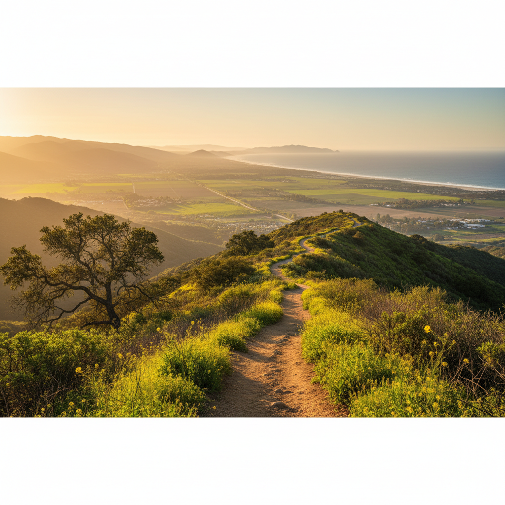
Sulphur Mountain Trail
A 9-mile fire road climbing the south wall of the Ojai Valley — huge views from Ojai to the ocean.
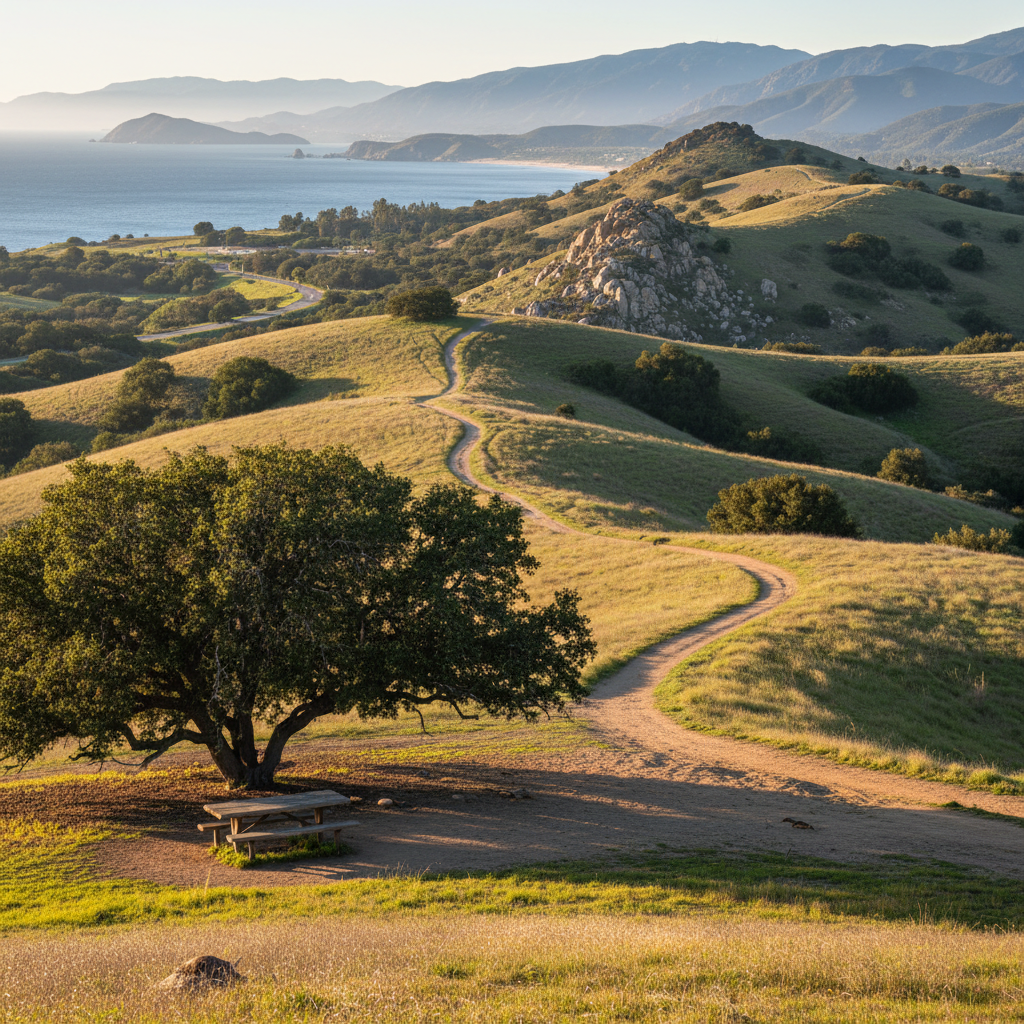
Happy Camp Canyon Regional Park
A 3,000-acre wilderness park north of Moorpark with a classic 10-mile loop through oak savanna and ridge views.
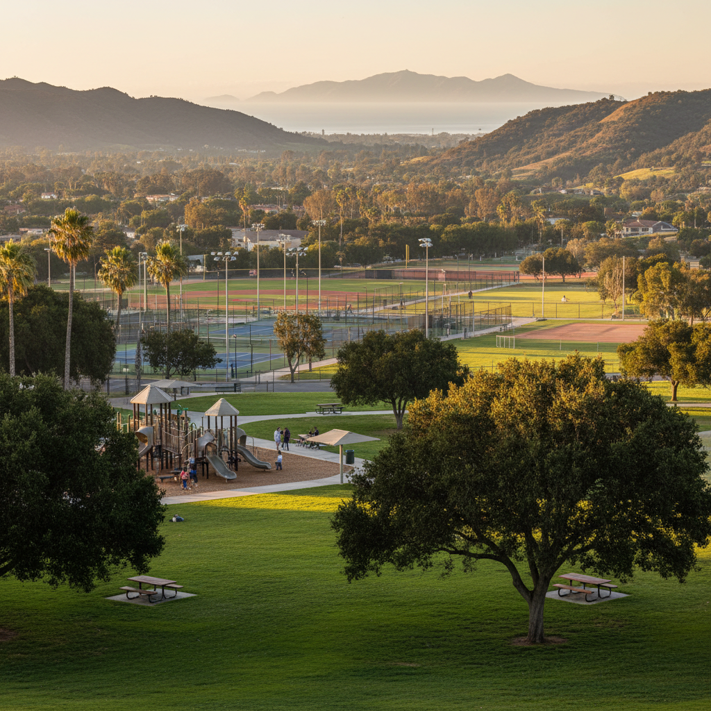
Arroyo Vista Community Park
Moorpark's flagship 70-acre community park — sports fields, a lighted tennis complex, picnic ramadas, and big playgrounds.
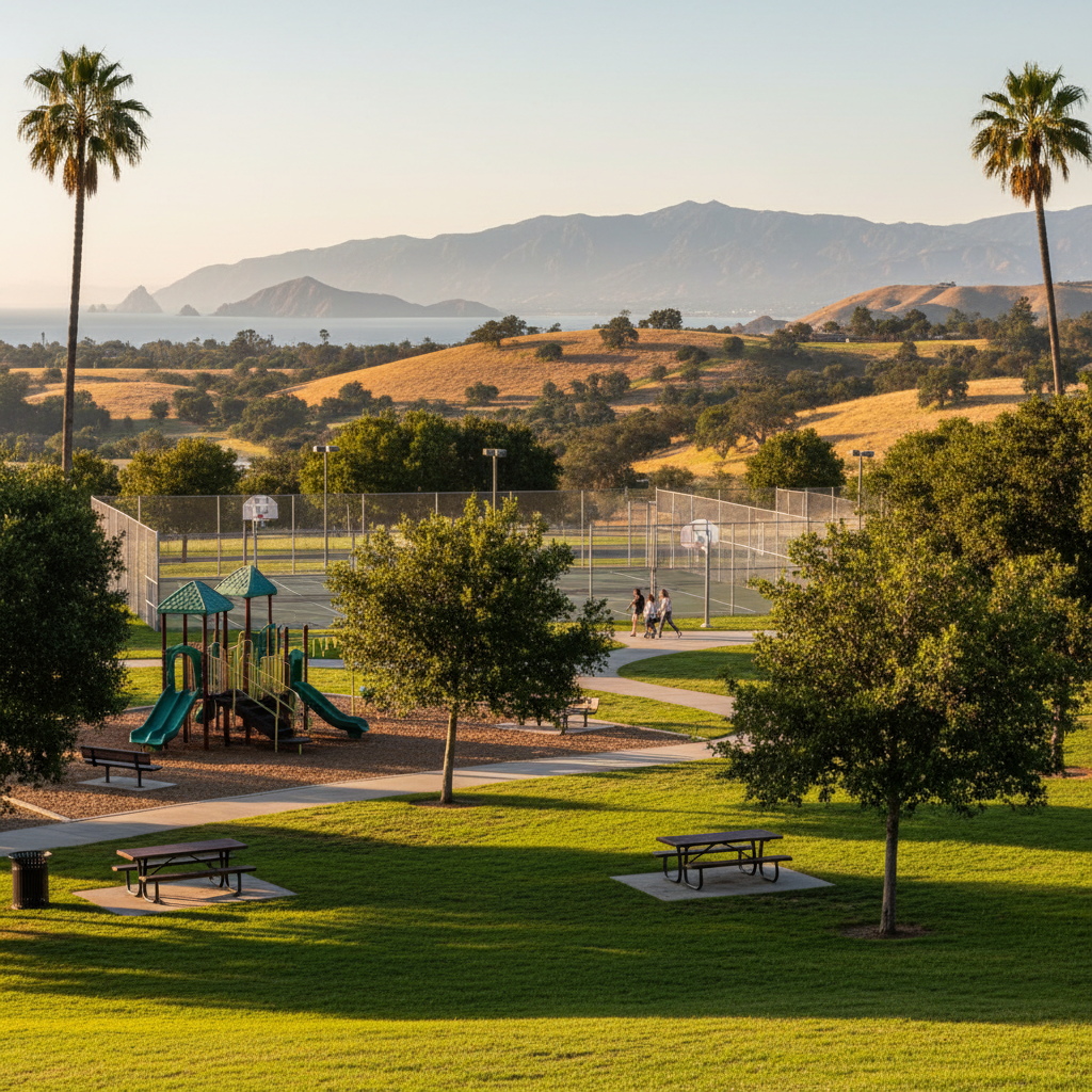
Tierra Rejada Family Park
A 19-acre Moorpark family park with a great kids' playground, shaded picnic spots, and sports courts.
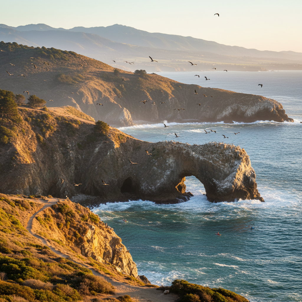
Anacapa Island
The closest Channel Island to the mainland — sea cliffs, the iconic Arch Rock, the West Coast's largest brown pelican rookery, and unforgettable sea kayaking.
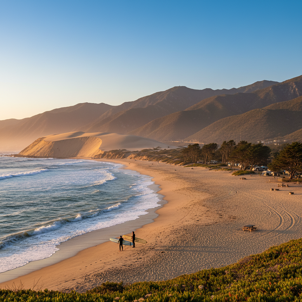
Thornhill Broome Beach
Beachfront campground on PCH where the Santa Monica Mountains meet the surf — and the legendary sand-dune climb begins.
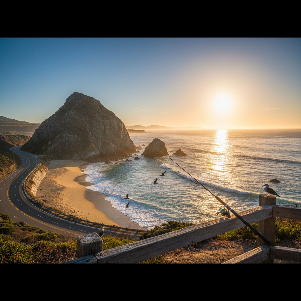
Mugu Rock and Pacific Coast Highway Overlook
The dramatic sea cliff and beach where PCH bends around the southernmost tip of Ventura County — an iconic California view.
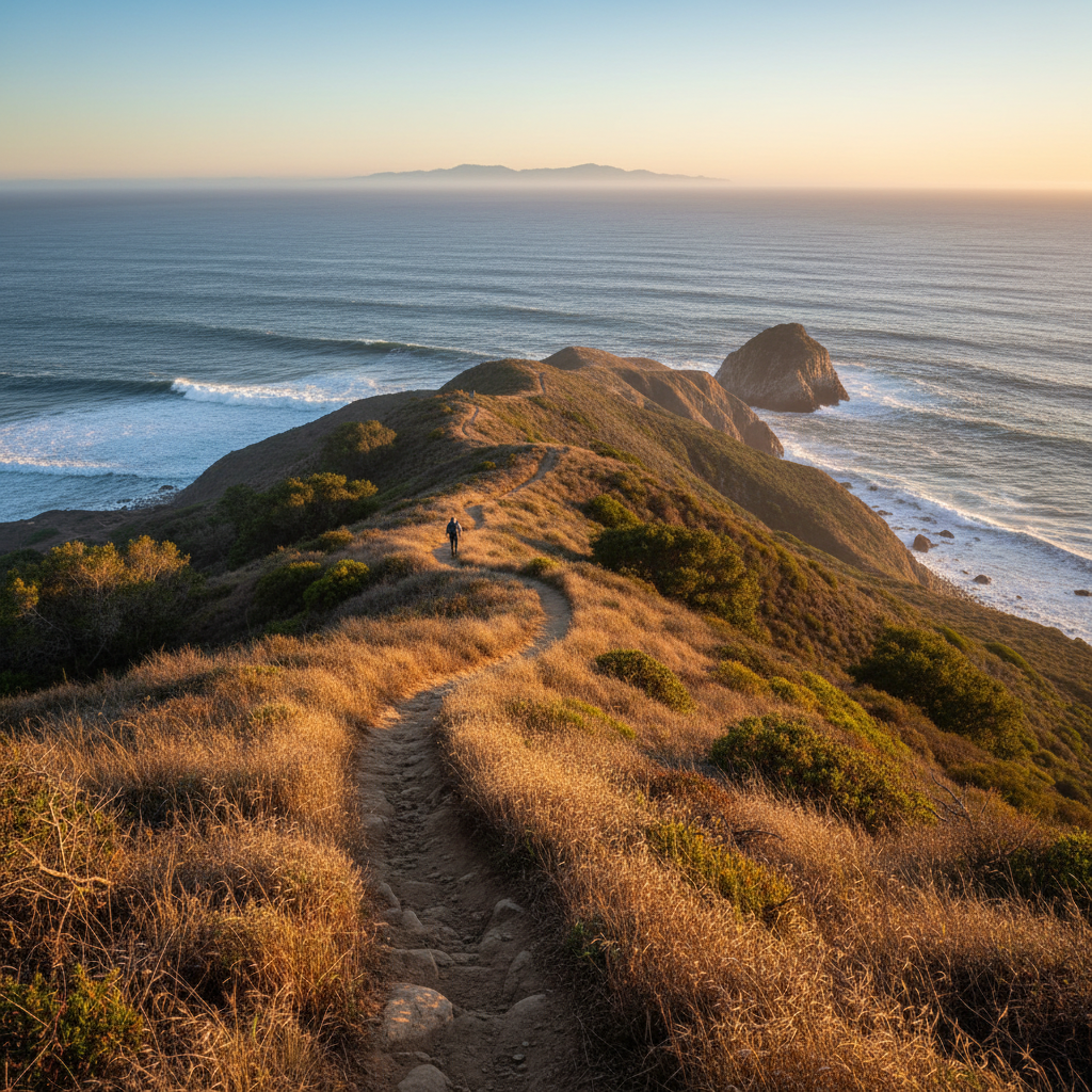
Chumash Trail
A short, steep coastal climb up the bluffs above Mugu Rock with one of the best ocean views in Southern California.
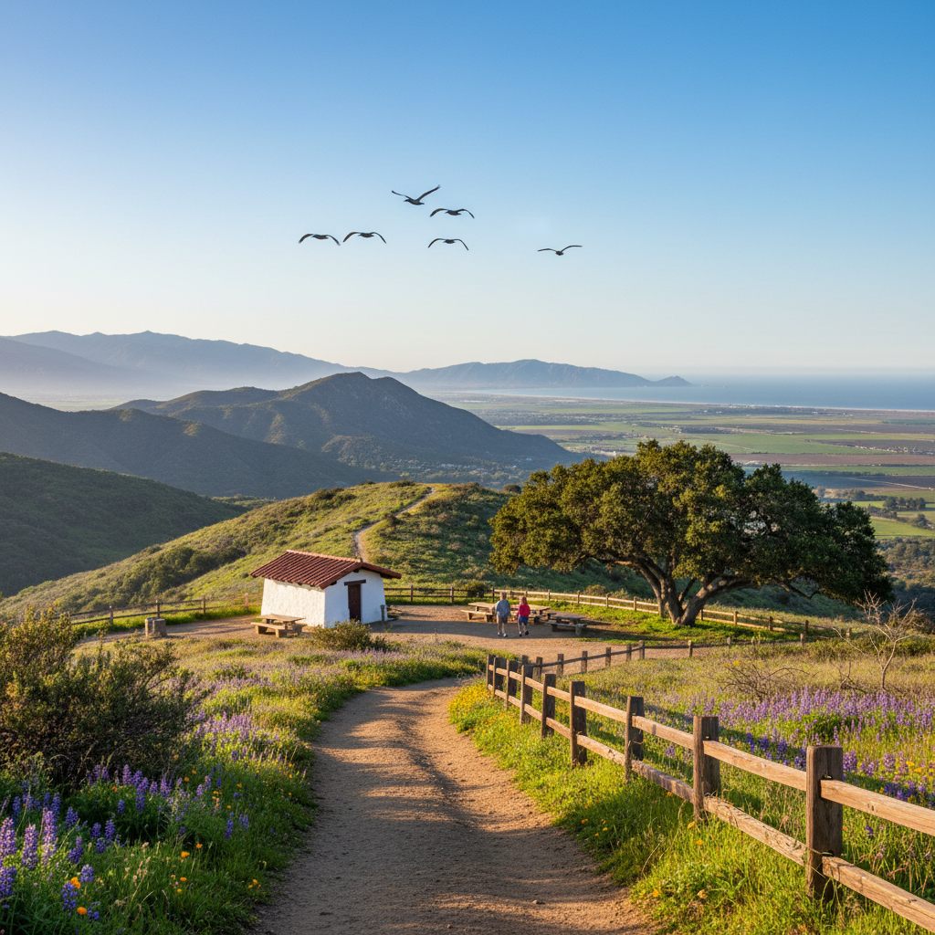
Rancho Sierra Vista / Satwiwa
The northern gateway to Point Mugu State Park, with a Native American cultural center and easy trails to Sycamore Canyon.
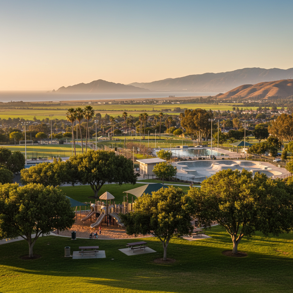
Mission Oaks Community Park
A 23-acre Camarillo community park with sports fields, an aquatic center, a skate park, and a big shaded playground.
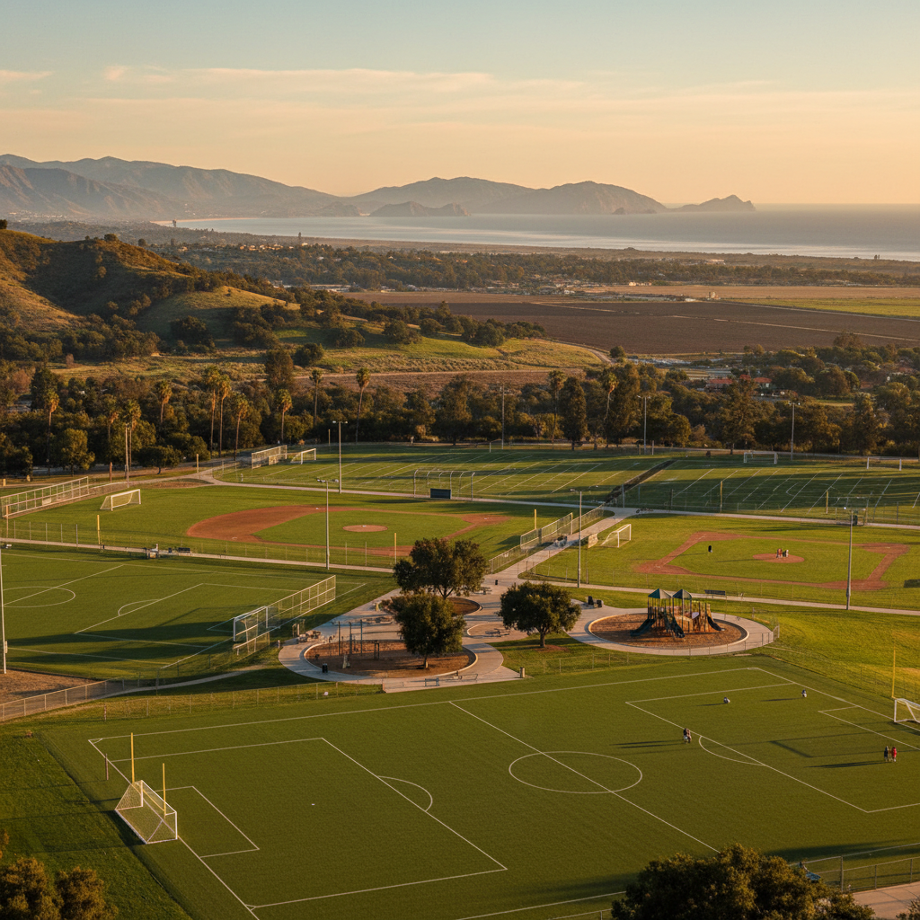
Pleasant Valley Fields
Camarillo's largest sports complex — soccer, baseball, and youth football fields on 33 acres.
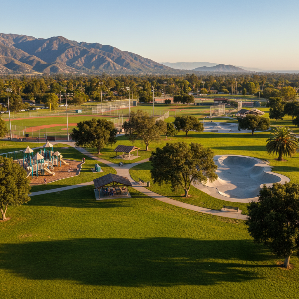
Rancho Tapo Community Park
A 40-acre Simi Valley community park with a skate park, sports fields, picnic ramadas, and one of the largest playgrounds in town.
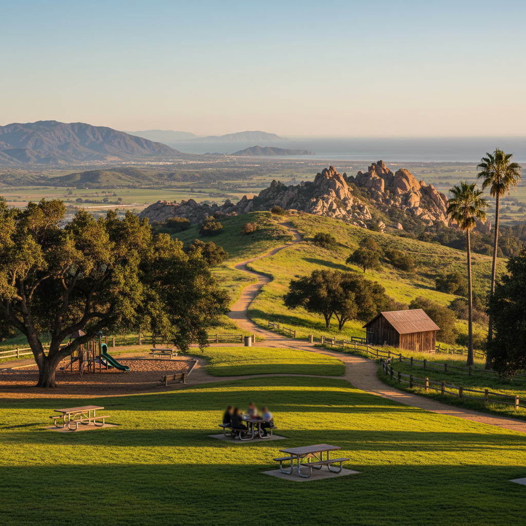
Corriganville Park
A 246-acre Simi Valley regional park on the site of a legendary Western movie ranch — with rock formations, oak shade, and easy trails.
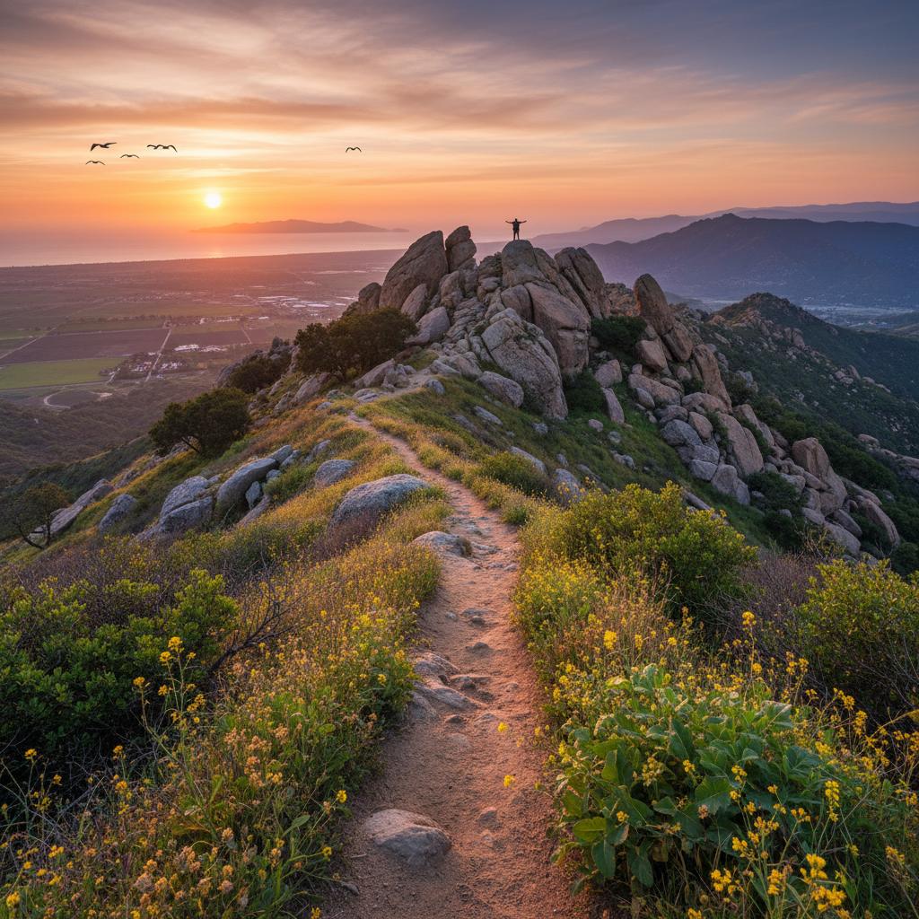
Rocky Peak Trail
A dramatic ridgeline hike over the Simi Hills with massive sandstone formations and 360° views from the summit.
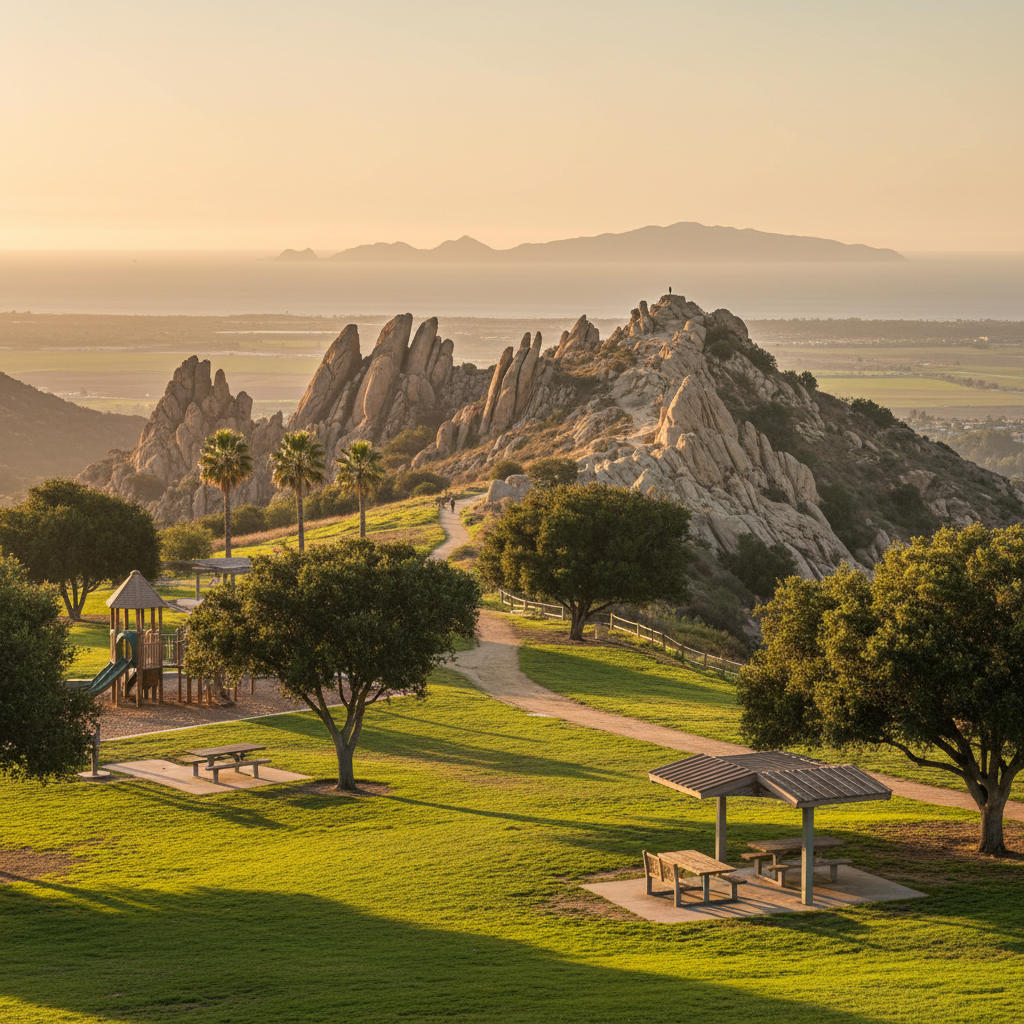
Sage Ranch Park
A 625-acre park atop the Simi Hills with massive sandstone formations and an easy summit loop trail.
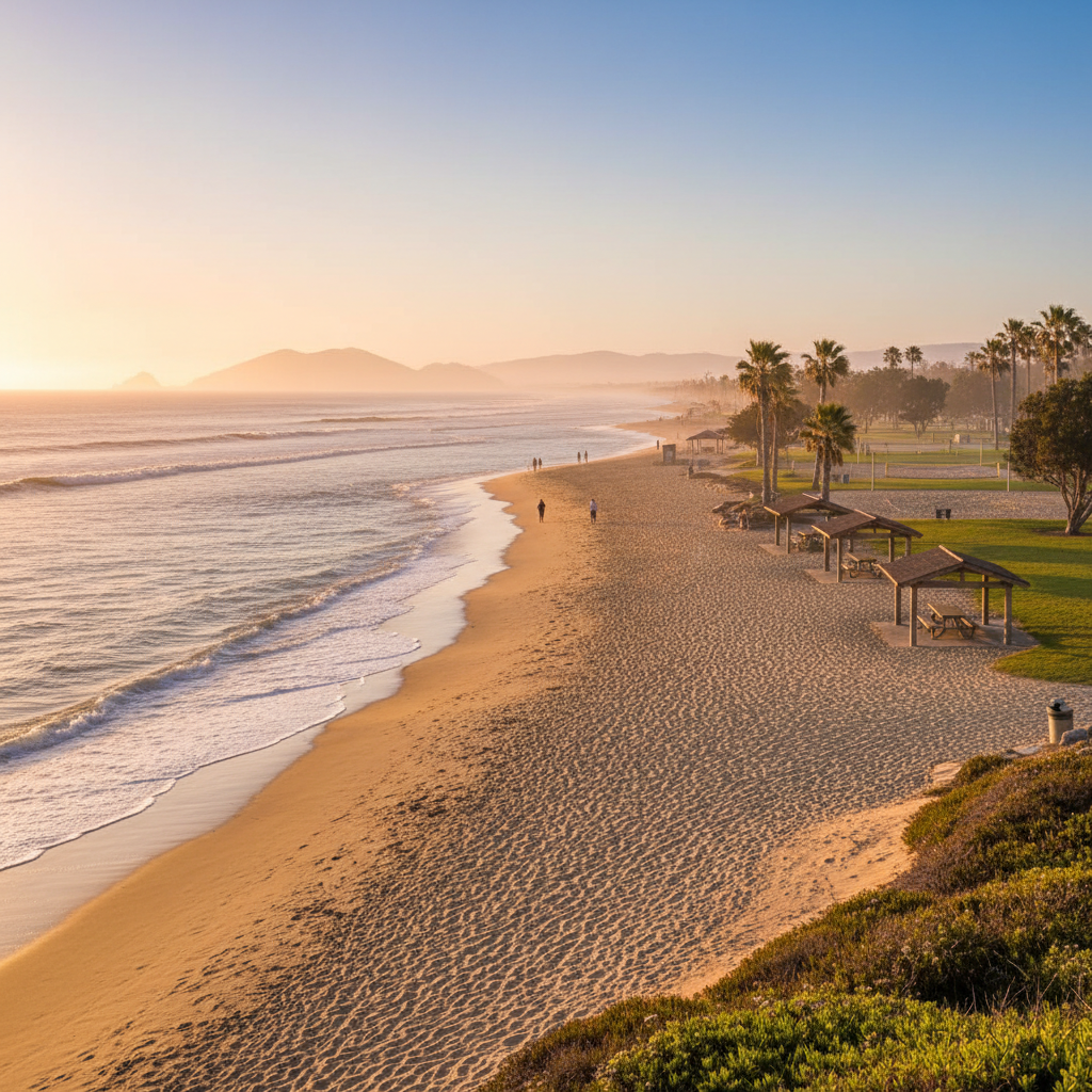
Oxnard Beach Park
A 62-acre beachfront park with playgrounds, picnic ramadas, sand volleyball, and direct access to one of the widest beaches in the county.
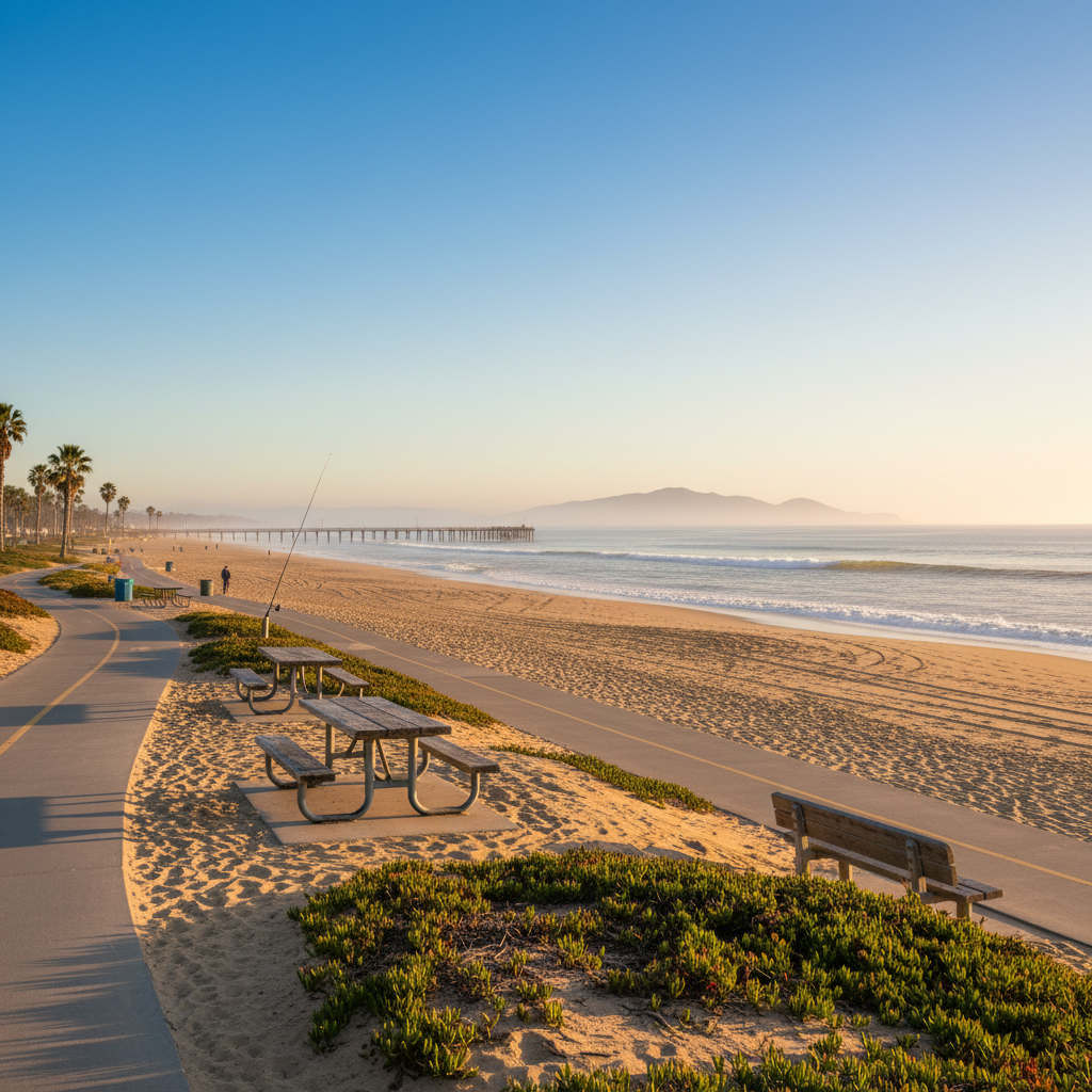
Hueneme Beach Park
A wide sandy beach with a fishing pier, beach bike path, and easy parking — Port Hueneme's coastal centerpiece.
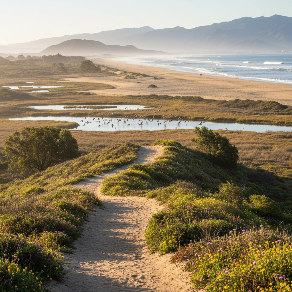
Ormond Beach Preserve
A protected coastal wetland and dune system with miles of empty beach and one of the best bird-watching sites in Southern California.
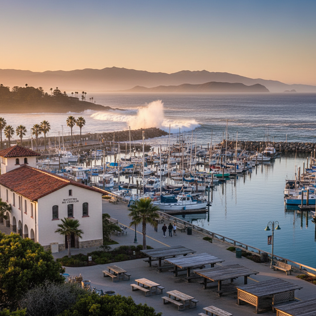
Channel Islands Harbor
A walkable harbor district with marinas, restaurants, kayak launches, the Maritime Museum, and a paved waterfront path.
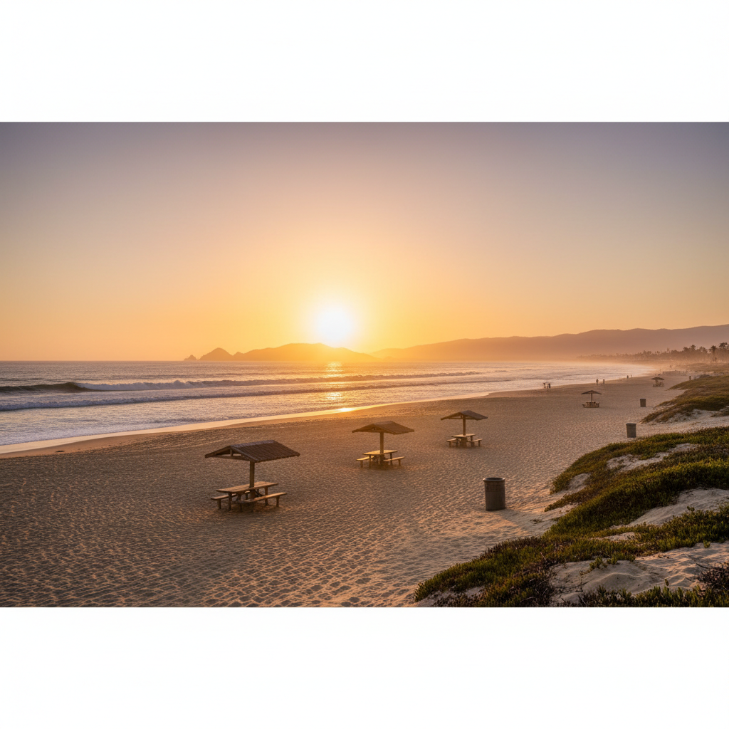
Mandalay Beach
A residential beach with wide sand, gentle surf, and excellent sunsets just north of Channel Islands Harbor.
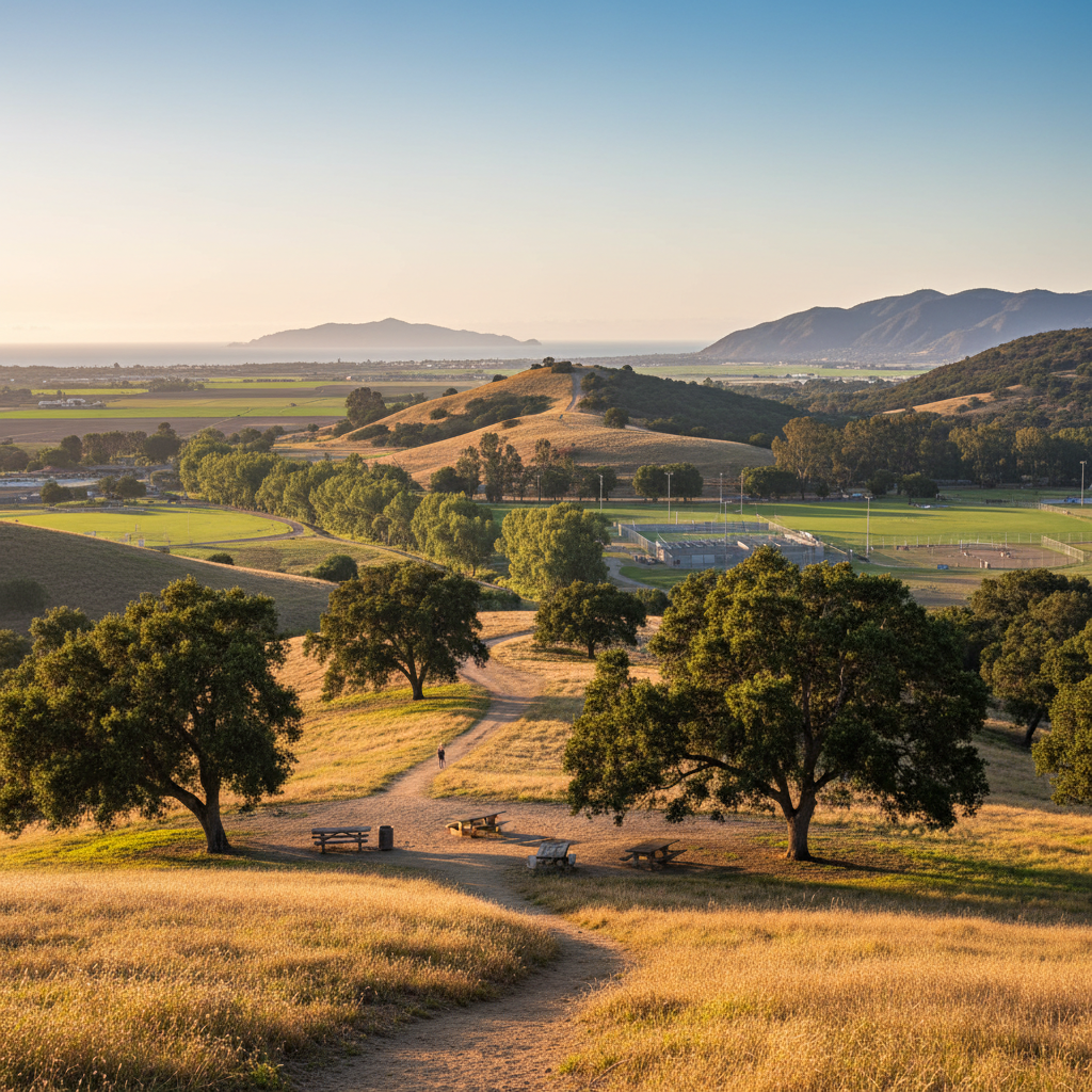
Camarillo Regional Park
A 134-acre Conejo-area county park with a sycamore-lined creek, dog park, sports fields, and easy hiking loops.
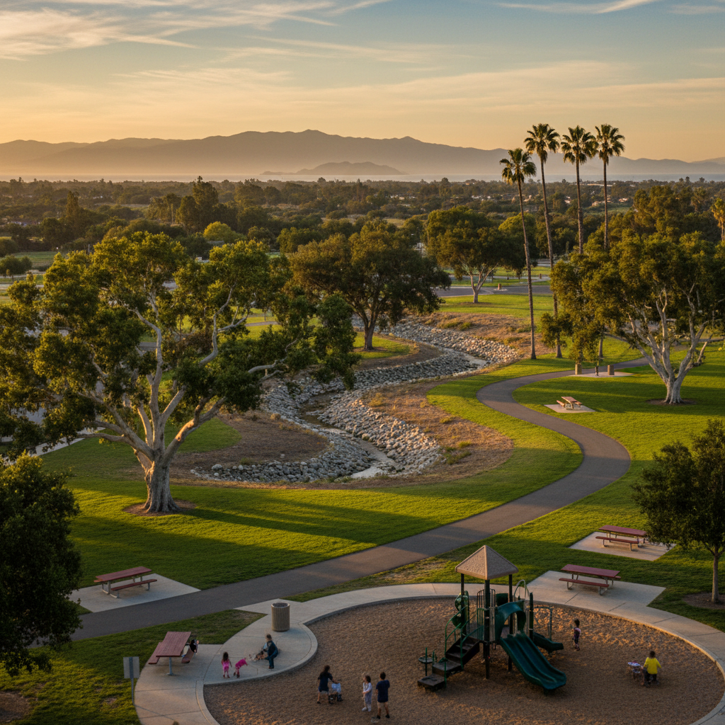
Conejo Creek Park (North + South)
A linear creekside park system in the heart of Thousand Oaks with playgrounds, sycamore shade, and miles of paved paths.
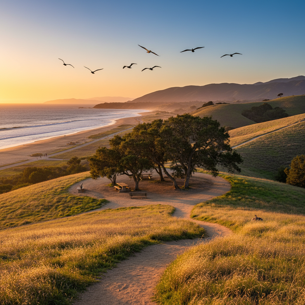
Wildwood Regional Park
A 1,732-acre Conejo backcountry park with a 70-foot waterfall, oak savanna, and 27 miles of trails.
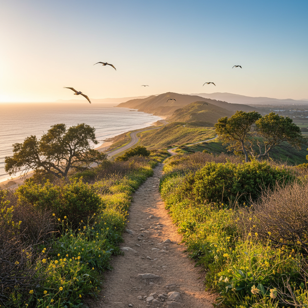
Los Robles Trail
A 19-mile ridgeline trail through the Santa Monica Mountains connecting Thousand Oaks to Newbury Park and Point Mugu State Park.
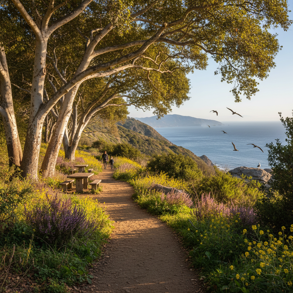
Sycamore Canyon at Point Mugu
A famously easy fire-road through one of California's most beautiful old-growth sycamore groves — a flagship Point Mugu trail.
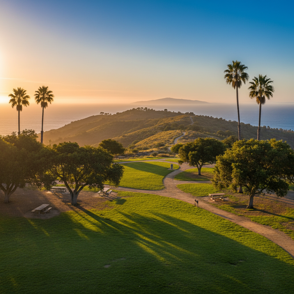
Arroyo Verde Park
A 130-acre canyon park in east Ventura with shaded picnic areas, sports fields, and a network of hiking trails.
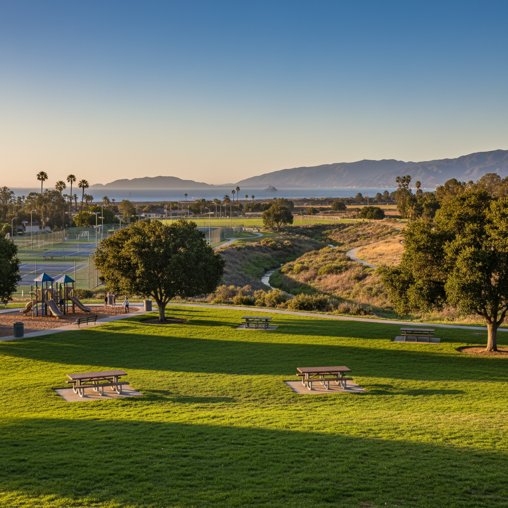
Camino Real Park
A 35-acre community park with a dog park, tennis courts, sports fields, and an arroyo nature area in the middle of Ventura.
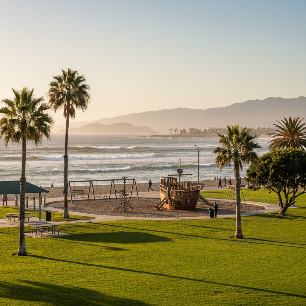
Marina Park
A waterfront park at the Ventura Harbor with playgrounds, a pirate ship, calm-water beach, and easy harbor walks.
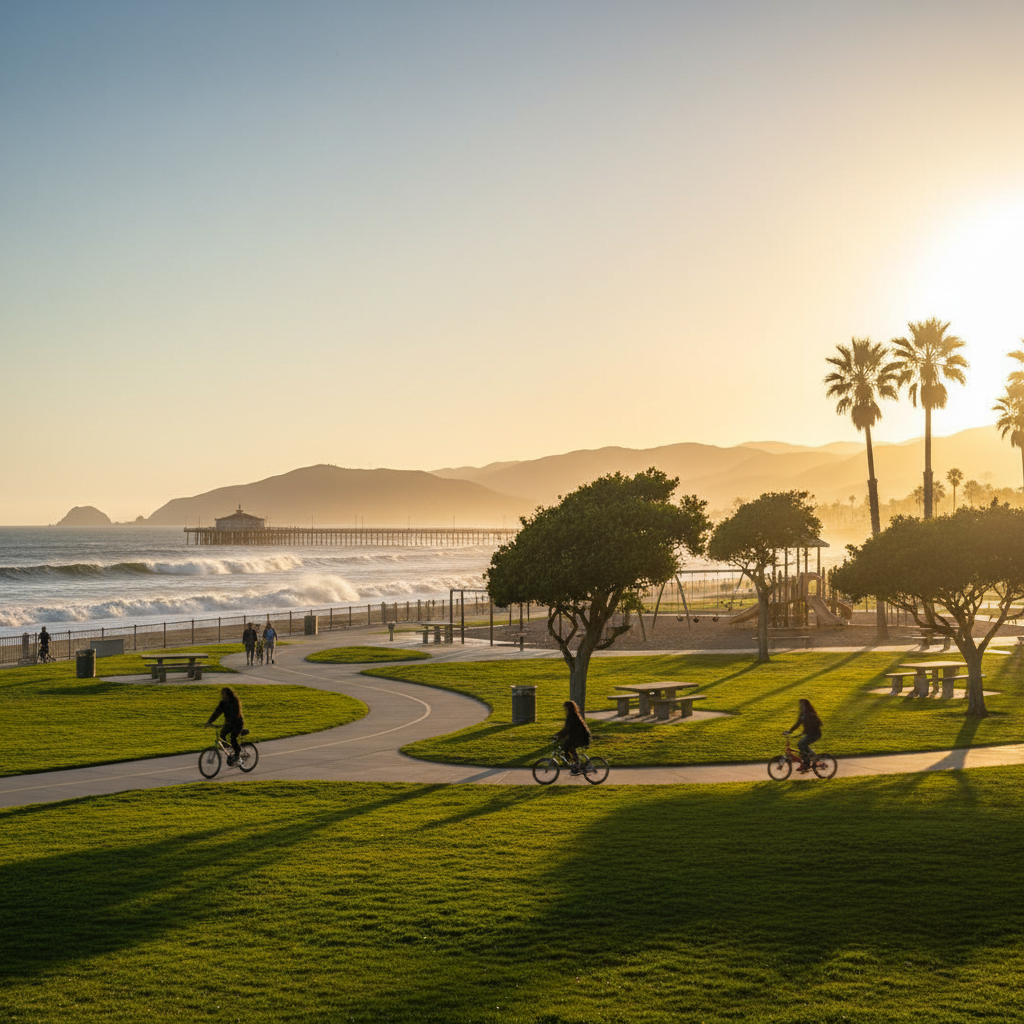
Promenade Park
The grassy oceanfront promenade between San Buenaventura State Beach and the Ventura Pier — a daily ritual for downtown Ventura.
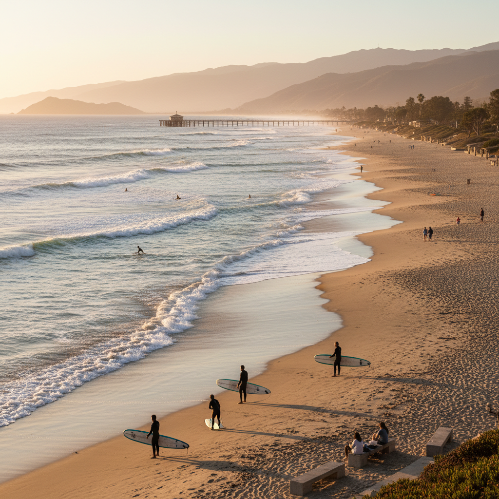
San Buenaventura State Beach
A 115-acre state beach with two miles of sand, swimming, surfing, volleyball, and the Ventura Pier at its north end.
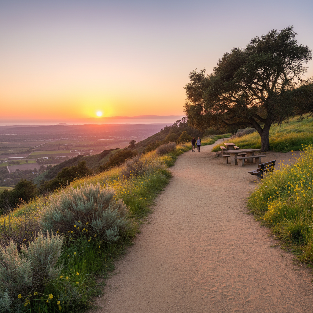
Shelf Road Trail
A wide, gently graded dirt trail along the hillside above Ojai with panoramic Ojai Valley views and the famous pink moment sunset.
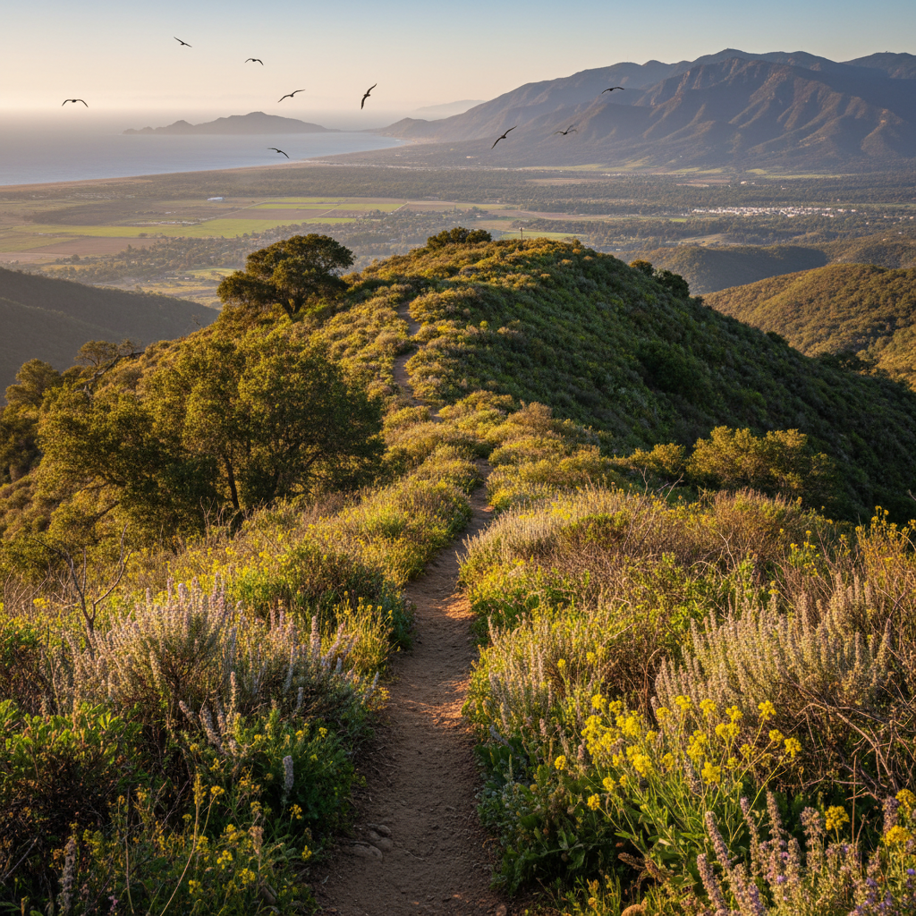
Pratt Trail to Valley View Preserve
A classic Ojai hike from the edge of town up into the chaparral hills with Topatopa and valley views.
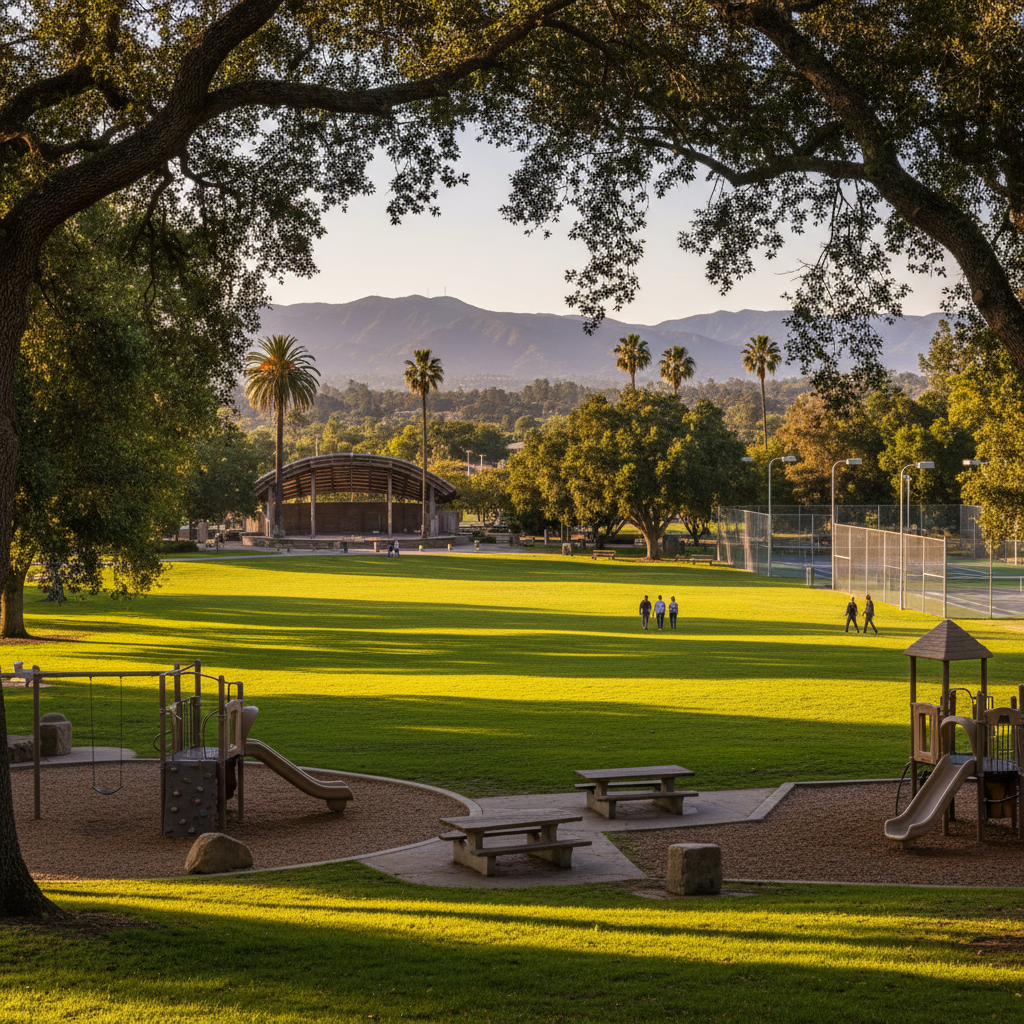
Libbey Park
The 11-acre green heart of downtown Ojai — home of the historic Libbey Bowl, tennis courts, and a giant oak-shaded lawn.
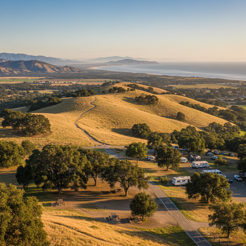
Foster Park
A 200-acre county regional park along the Ventura River — the official trailhead for both the Ventura River Trail and Ojai Valley Trail.
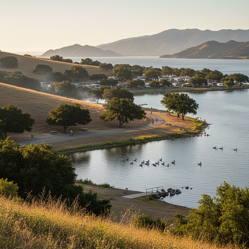
Lake Casitas Recreation Area
A 6,200-acre county park around Lake Casitas with camping, fishing, a water park, and miles of shoreline.
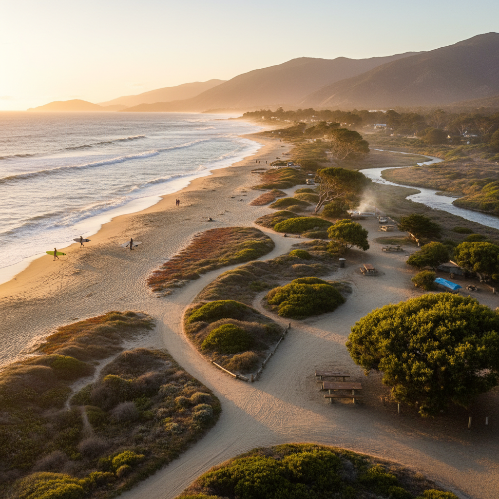
Emma Wood State Beach
A wild, windswept state beach at the mouth of the Ventura River with two of the county's best coastal trails — Ocean's Edge and River's Edge.
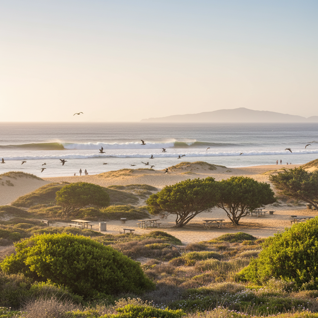
McGrath State Beach
Two miles of sand dunes and beach at the mouth of the Santa Clara River — a birder's paradise and one of the county's quietest stretches of coast.
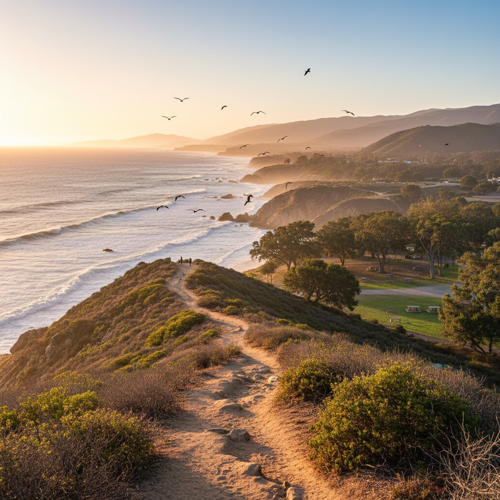
Point Mugu State Park
Five miles of ocean shoreline and 70+ miles of trails climbing from sea cliffs into the Santa Monica Mountains — Ventura County's biggest backcountry park.
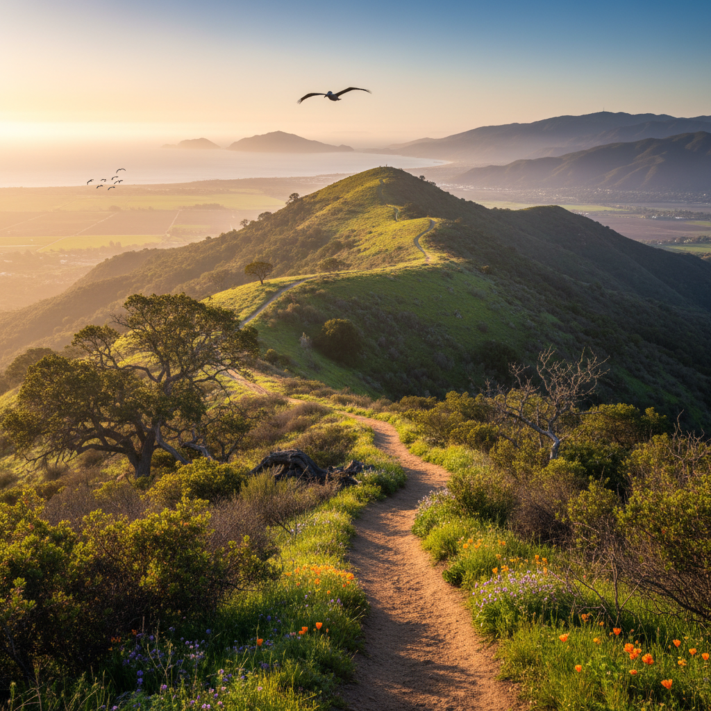
Harmon Canyon Preserve
A 2,100-acre former ranch turned public preserve in the hills above Ventura — the county's most beloved local hiking destination.
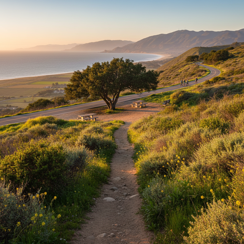
Ojai Valley Trail
A 9-mile paved trail running from Foster Park to downtown Ojai — perfect for biking, jogging, walking, and horses.
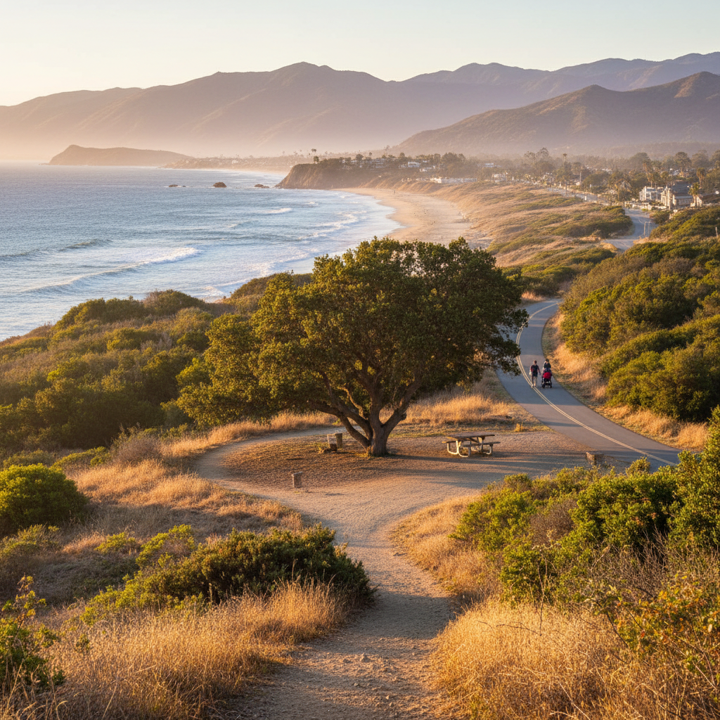
Ventura River Trail
A 6.3-mile paved trail along the Ventura River from Main Street up to Foster Park, connecting to the Ojai Valley Trail.
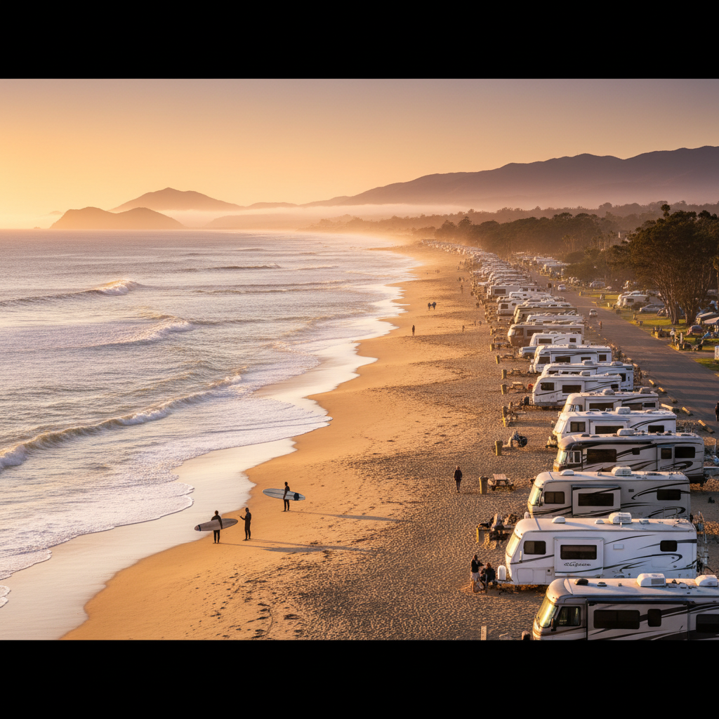
Rincon Parkway
A scenic stretch of coast along Highway 1 north of Ventura, famous for its right-point surf, beachside RV parking, and Channel Islands views.
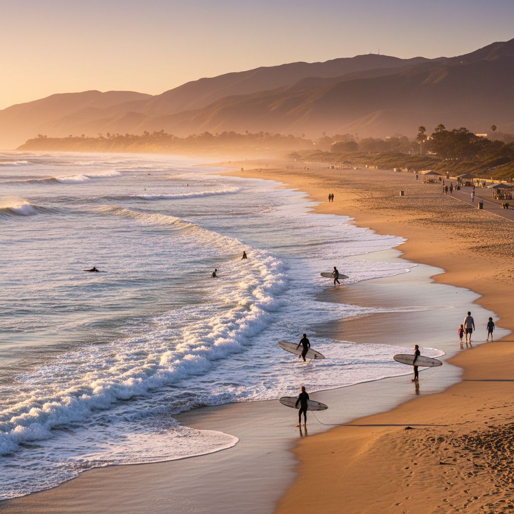
Surfers Point at Seaside Park
The iconic surf break and promenade at C Street — Ventura's most famous beach and the start of the coastal bike path.
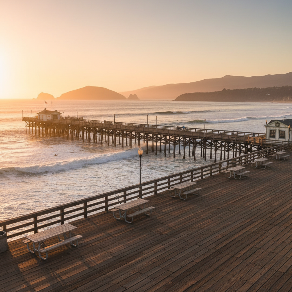
Ventura Pier and Promenade
California's oldest wooden pier — 1,700 feet over the Pacific with a restaurant, fishing, and unmatched views of the Channel Islands.
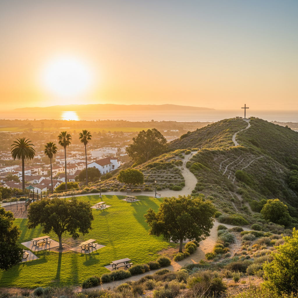
Grant Park & Ventura Botanical Gardens
A hillside park above downtown Ventura with the Ventura Botanical Gardens, the historic Cross, and panoramic Channel Islands views.
About Ventura County's Outdoors
Ventura County packs more than 40 miles of Pacific coastline together with coastal mountain ranges, Ojai oak savannas, and the Channel Islands. The county park system alone runs 20+ regional parks, the City of Ventura maintains 46 parks across 800 acres, and state beaches like Emma Wood and McGrath anchor the coast.
This guide covers the full county stack — regional and neighborhood parks, coastal and canyon trails, family beaches and surf stops, preserves and state parks — from Rincon Parkway and McGrath State Beach to Harmon Canyon, Ojai Valley Trail, and the ridgelines of Point Mugu.
Everything VC is part of Everything California — a premium local discovery network across the Golden State.
Explore More of California
The Everything Network — 16 California Regions